
Clay County is a county located in the U.S. state of Indiana. As of 2010, the population was 26,890. The county seat is Brazil.
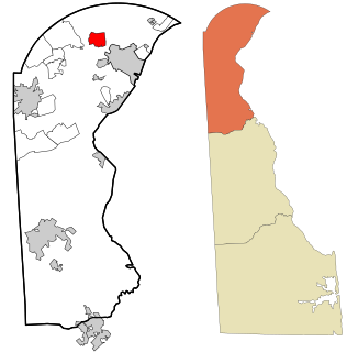
Greenville is an bedroom community in New Castle County, Delaware, United States, and a suburb of Wilmington, Delaware. The population was 2,326 at the 2010 census. For statistical purposes, the United States Census Bureau has defined Greenville as a census-designated place (CDP). The community is also home to Joe Biden, the president of the United States, and many Du Pont family descendants.

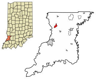
Carbon is a town in Van Buren Township, Clay County, Indiana, United States. The population was 397 at the 2010 census. It is part of the Terre Haute Metropolitan Statistical Area.

Bright is an unincorporated community and census-designated place (CDP) in Dearborn County, Indiana, United States. The population was 5,693 at the 2010 census.

Lake Dalecarlia is a census-designated place (CDP) in Lake County, Indiana, United States. The population was 1,355 at the 2010 census. The name comes from the English name of the Dalarna region of Sweden. The community is centered on the lake of the same name, which was completed in the 1920s.

Lakes of the Four Seasons is a census-designated place (CDP) in Lake County and Porter County, in the U.S. state of Indiana. The population was 7,033 at the 2010 census.

West Terre Haute is a town in Sugar Creek Township, Vigo County, Indiana, on the western side of the Wabash River near Terre Haute. The population was 2,236 at the 2010 census. It is part of the Terre Haute Metropolitan Statistical Area. Bethany Congregational Church was placed on the National Register of Historic Places in 2003.

Coalmont is a city in Grundy County, Tennessee, United States. Established in 1904, the city has an area of 6 square miles. The population was 841 at the 2010 census.
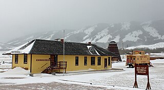
Centennial is a small town in Albany County, Wyoming, United States. The population was 270 at the 2010 census.

Lewis Township is one of eleven townships in Clay County, Indiana. As of the 2010 census, its population was 1,464 and it contained 632 housing units.

Jefferson Township is one of thirteen townships in Owen County, Indiana, United States. As of the 2010 census, its population was 1,129 and it contained 525 housing units.

Clarksburg is an unincorporated community and census-designated place in Fugit Township, Decatur County, Indiana, United States. As of the 2010 census, the population of Clarksburg was 149.

Dubois is an unincorporated community and census-designated place (CDP) in Dubois County, Indiana, United States. Its population at the 2010 census was 488.

Scipio is an unincorporated community and census-designated place (CDP) in Geneva Township, Jennings County, Indiana, United States. As of the 2010 census it had a population of 153.
Emison is an unincorporated community and census-designated place (CDP) in Busseron Township, Knox County, Indiana. Its population was 154 at the 2010 census.

Westphalia is an unincorporated community and census-designated place (CDP) in Vigo Township, Knox County, Indiana. As of the 2010 census it had a population of 202.

Aberdeen is a census-designated place (CDP) in Center Township, Porter County, in the U.S. state of Indiana. The community centers on The Course at Aberdeen, a golf course. The population of the CDP was 1,875 at the 2010 census.

Salt Creek Commons is a census-designated place (CDP) in Union Township, Porter County, in the U.S. state of Indiana. The population was 2,117 at the 2010 census.

Shorewood Forest is a census-designated place (CDP) in Union Township, Porter County, in the U.S. state of Indiana. The community centers on Lake Louise, an artificial water body. The population of the CDP was 2,708 at the 2010 census.

Cordry Sweetwater Lakes is a census-designated place (CDP) in Hamblen Township, Brown County, in the U.S. state of Indiana. The population was 1,128 at the 2010 census. Sweetwater Lake is 260 acres in size.


