Buckhorn is a community in Pulaski County, Missouri, United States. It is on Route 17 just south of its junction with Interstate 44 It is also on historic U.S. Route 66. The community is within the Mark Twain National Forest and the northwest corner of Fort Leonard Wood is three miles to the east. Waynesville is six miles to the northeast along Route 44 and Laquey is two miles to the southwest off of Route 17.
Treloar is an unincorporated community in southern Warren County, Missouri, United States. It is located on the north edge of the Missouri River floodplain and Kochs Creek enters the floodplain just west of the community. Route 94 passes just south of the community and Warrenton is twelve miles to the north.
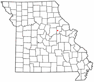
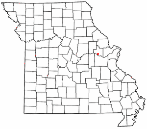
Callaway is an unincorporated community in Callaway County, Missouri. The community was located approximately two miles south of Kingdom City and just west of U.S. Route 54. The site was on the Chicago and Alton Railroad and on the north bank of Richland Creek.
Garrett is an extinct town in eastern Callaway County, in the U.S. state of Missouri. The community and Garrett Cemetery are on Missouri Route K, one-half mile west of the Callaway-Montgomery county line. The community of Readsville is approximately 3.5 miles to the west and Americus is about 4.5 miles to the east on route K.
Lisle is an unincorporated community in western Cass County, in the U.S. state of Missouri and is part of the Kansas City metropolitan area within the United States.
Cave Creek is a stream in Cooper County in the U.S. state of Missouri. It is a tributary of Petite Saline Creek.

New Lebanon is an unincorporated community in Cooper County, in the U.S. state of Missouri. The community is on Missouri Route A between Otterville seven miles to the south and Pilot Grove seven miles to the north. The Lamine River flows past about two miles west of the community.
Harman Creek is a stream in Crawford County in the U.S. state of Missouri. It is a tributary of the Meramec River.
Cedar Fork is a stream in Franklin County in the U.S. state of Missouri. It is a tributary of Boeuf Creek.
Champion City is an unincorporated community in southwest Franklin County in the U.S. state of Missouri.
Bowen Creek is a stream in Phelps, Crawford and Gasconade counties in the U.S. state of Missouri. It is a tributary of Bourbeuse River.
Tavern Creek is a stream in Miller and Pulaski counties in the U.S. state of Missouri. It is a tributary of the Osage River. The stream headwaters are at 37°54′42″N92°22′19″W and the confluence with the Osage is at 38°19′04″N92°17′24″W.
Coon Creek is a stream in Audrain and Montgomery counties in the U.S. state of Missouri. It is a tributary of the West Fork Cuivre River.
Quick Creek is a stream in southwest Montgomery County in the U.S. state of Missouri. It is a tributary of the Missouri River.
Mill Creek is a stream in Morgan County in the U.S. state of Missouri. It is a tributary to the Gravois Creek arm of the Lake of the Ozarks.
Macedonia is an extinct town in northern Phelps County, in the U.S. state of Missouri.
Toms Creek is a stream in Reynolds County in the U.S. state of Missouri. It is a tributary of the West Fork Black River.
Peers is an unincorporated community in southern Warren County, in the U.S. state of Missouri. The community is on the north edge of the Missouri River floodplain and Treloar is four miles to the west on Missouri Route 94.
Yeater Branch is a stream in Warren County in the U.S. state of Missouri. It is a tributary of Big Creek.
Rush Tower is a locale in southeast Jefferson County in the U.S. state of Missouri.