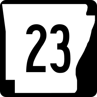
Arkansas Highway 23 is a north–south state highway in north Arkansas. The route runs 129.88 miles (209.02 km) from US 71 near Elm Park north to the Missouri state line through Ozark and Eureka Springs. Between AR 16 at Brashears and Interstate 40 north of Ozark, Highway 23 winds through the Ozark National Forest and is designated as the Pig Trail Scenic Byway due to its steep hills and hairpin turns. The route has a strong connection with the University of Arkansas Razorbacks, connecting fans in Central Arkansas with the Northwest Arkansas area.
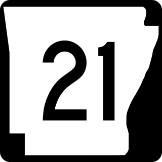
Highway 21 is a north–south state highway in north central Arkansas. The route of 99.14 miles (159.55 km) runs from US Route 64 (US 64) in Clarksville north across US 62 to Missouri Route 13 at the Missouri state line The route is a two-lane highway with the exception of a brief concurrency with US 62, a four-lane highway, in Berryville.

Highway 352 is a designation for two east–west state highways in the Arkansas River Valley. One section begins at Franklin County Road 441 (CR 441) and runs north 1.11 miles (1.79 km) to US Highway 64 (US 64). A second segment begins at Highway 23 approximately 5 miles (8.0 km) north of Ozark. Its eastern terminus is U.S. Highway 64 in Clarksville.

Arkansas Highway 60 is a state highway that exists in five separate sections in Arkansas. The longest and most well-known segment of 54.19 miles (87.21 km) runs from Highway 28 in Plainview east to U.S. Route 65B (US 65B) in Conway. A segment in western Logan County of 2.64 miles (4.25 km) begins at the Old Highway 10 at the Sebastian County line and runs east to Highway 10. A third segment of 10.80 miles (17.38 km) begins at Highway 252 near Lavaca and runs east to Highway 41 at Peter Pender. A fourth segment runs 1.34 miles (2.16 km) from US 64 and runs across Interstate 40/Interstate 540 (I-40/I-540) to Highway 282. A fifth route of 2.34 miles (3.77 km) begins at Highway 282 near Rudy and runs north to County Road 23 (CR 23).

Highway 9 is a designation for two north–south state highways in Arkansas. A southern segment of 51.44 miles (82.78 km) begins at U.S. Route 79 at Eagle Mills and heads north to U.S. Route 67 in Malvern before terminating. The northern segment of 174.17 miles (280.30 km) runs from AR 5 to U.S. Route 63 in Mammoth Spring. The route was created during the 1926 Arkansas state highway numbering, and has seen only minor extensions and realignments since. Pieces of both routes are designated as Arkansas Heritage Trails for use during the Civil War and the Trail of Tears.

Highway 69 is a designation for three north–south state highways in northeast Arkansas. A western route of 57.64 miles (92.76 km) runs south from Highway 9 at Melbourne to Highway 14/Highway 367 in Newport. A second route of 15.31 miles (24.64 km) begins at Highway 163 and runs north through Trumann to Highway 158 at Lunsford. A third route begins at U.S. Route 49/Highway 1 (US 49/AR 1) at the city limits of Paragould and runs north to terminate at US 412B in the city.

Highway 333 is a designation of three north–south state highways in Arkansas. One route begins at US Highway 64 (US 64) and runs north 17.20 miles (27.68 km) to Highway 7. A second highway begins at Searcy County Road 8 (CR 8) and runs north to US 65 near Marshall. A third segment connects Gilbert to the state highway system. All three highways were created and modified to their existing alignments between 1965 and 1974, and are maintained by the Arkansas Department of Transportation (ArDOT).
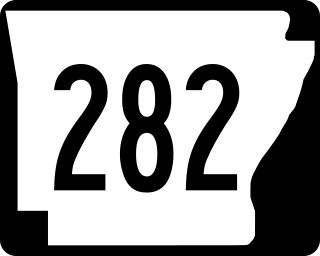
Arkansas Highway 282 is a north–south state highway in Crawford County. The route runs 19.48 miles (31.35 km) north from Van Buren to Chester. The route parallels Interstate 49 for almost its entire length.
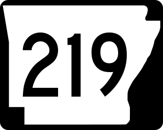
Arkansas Highway 219 is a designation for two state highways in Franklin County, Arkansas. The southern segment of 1.50 miles (2.41 km) runs from Youth with a Mission Ozarks northeast to Ozark. A northern segment of 10.88 miles (17.51 km) runs from U.S. Route 64 (US 64) through Ozark northeast to the Missouri state line.
Highway 359 is a north–south state highway in Johnson County, United States. The route of 12.85 miles (20.68 km) runs north from U.S. Route 64 (US 64) near Piney to US 64 in Lamar.

Highway 105 is a north–south state highway in Pope County, Arkansas. The route runs from Galla Creek Wildlife Management Area north across Interstate 40 (I-40) and U.S. Route 64 (US 64) to Highway 27 in Hector. AR 105 was created during the 1926 Arkansas state highway numbering. The route is maintained by the Arkansas Department of Transportation (ArDOT).
Highway 247 is a designation for four north–south state highways in the Arkansas River Valley. Two are low traffic, two-lane, rural connector highways serving sparsely populated areas of the River Valley. A third segment is a four-lane divided highway bypassing Pottsville. A fourth segment mostly runs as Poor Farm Road in Morrilton among several educational buildings in the city. The first rural segment was created in 1957, with the Morrilton segment created in 1965 and a second rural segment in 1966. The final designation came in 1973. All segments are maintained by the Arkansas Department of Transportation (ArDOT).

Arkansas Highway 124 is a designation for two state highways in Central Arkansas. The western segment of 72.17 miles (116.15 km) runs from Russellville to Rose Bud. An eastern segment of 9.17 miles (14.76 km) runs east in White County from Pangburn to AR 157.
Arkansas Highway 331 is a north–south state highway in Pope County, Arkansas. The route runs 5.28 miles (8.50 km) from Arkansas Highway 247 in Pottsville north across Interstate 40 to terminate at the northbound ramps.

Arkansas Highway 11 is a designation for three state highways in Arkansas. One segment of 36.23 miles (58.31 km) runs from US Route 63 (US 63) at Pansy to Huff Island Public Use Area near Grady. A second segment of 12.83 miles (20.65 km) begins just across the Arkansas River at the eastern terminus of Highway 88 at Reydell and runs north to US 65 west of De Witt. A third route of 37.53 miles (60.40 km) runs from Interstate 40 (I-40) and US 63 in Hazen north to Highway 367 in Searcy.

Highway 326 is a designation for two state highways in Pope County. One route of 9.96 miles (16.03 km) in Russellville begins at Highway 7 and Highway 7 Truck and runs northeast to Highway 7. A second route of 6.52 miles (10.49 km) begins at Highway 124 and runs east to Highway 105. All routes are maintained by the Arkansas State Highway and Transportation Department (AHTD).

Highway 95 is a designation for a north–south state highway in north central Arkansas. The route runs 49.40 miles (79.50 km) runs north from US Highway 64 and Highway 113 in Morrilton north to Highway 330.
Arkansas Highway 191 is a 2.27-mile (3.65 km) state highway located entirely within West Memphis in the U.S. state of Arkansas. The highway runs from U.S. Highway 70 (US 70) north to AR 77. The highway is maintained by the Arkansas Department of Transportation (ArDOT).

Highway 147 is a 25.83-mile-long (41.57 km) north–south state highway in Crittenden County, Arkansas, United States. The route runs from Highway 131 at Bruins north across Interstate 40/US Route 79 (I-40/US 70/US 79) to US 64 near West Memphis. A portion of the route make up the western routing of the Great River Road.
Highway 149 is a north–south state highway in northeast Arkansas. The route of about 41.28 miles (66.43 km) runs from Highway 38 in Hughes north across Interstate 40 (I-40) and I-555 to AR 140/AR 75/AR 14 in Marked Tree.


