Auvers, Haute-Loire

Last updated

Auvers
Commune
Auvers.jpg
View of Auvers
Location of Auvers
Auvers, Haute-Loire
France location map-Regions and departements-2016.svg
Red pog.svg
Auvers
Auvergne-Rhone-Alpes region location map.svg
Red pog.svg
Auvers
Coordinates: 44°59′49″N3°24′11″E / 44.9969°N 3.4031°E / 44.9969; 3.4031
Country France
Region Auvergne-Rhône-Alpes
Department Haute-Loire
Arrondissement Brioude
Canton Gorges de l'Allier-Gévaudan
Intercommunality Rives du Haut Allier
Government
  Mayor (20202026) René Soulier [1]
Area
1
21.5 km2 (8.3 sq mi)
Population
 (2021) [2]
48
  Density2.2/km2 (5.8/sq mi)
Time zone UTC+01:00 (CET)
  Summer (DST) UTC+02:00 (CEST)
INSEE/Postal code
43015 /43300
Elevation756–1,496 m (2,480–4,908 ft)
(avg. 1,180 m or 3,870 ft)
1 French Land Register data, which excludes lakes, ponds, glaciers > 1 km2 (0.386 sq mi or 247 acres) and river estuaries.

Auvers is a commune in the Haute-Loire department in south-central France.

Contents

Population

Historical population
YearPop.±% p.a.
1968 147    
1975 125−2.29%
1982 103−2.73%
1990 86−2.23%
1999 67−2.74%
2009 60−1.10%
2014 60+0.00%
2020 49−3.32%
Source: INSEE [3]

Climate

Climate data for Auvers, 1134m (1991−2020 normals, 1986-2020 extremes)
MonthJanFebMarAprMayJunJulAugSepOctNovDecYear
Record high °C (°F)16.0
(60.8)
18.8
(65.8)
20.3
(68.5)
23.3
(73.9)
26.6
(79.9)
35.0
(95.0)
33.7
(92.7)
33.6
(92.5)
29.5
(85.1)
24.0
(75.2)
19.2
(66.6)
15.2
(59.4)
35.0
(95.0)
Mean daily maximum °C (°F)2.7
(36.9)
3.6
(38.5)
7.6
(45.7)
10.6
(51.1)
14.9
(58.8)
19.0
(66.2)
21.7
(71.1)
21.6
(70.9)
16.9
(62.4)
12.4
(54.3)
6.4
(43.5)
3.1
(37.6)
11.7
(53.1)
Daily mean °C (°F)−0.7
(30.7)
−0.4
(31.3)
2.8
(37.0)
5.4
(41.7)
9.2
(48.6)
12.8
(55.0)
14.8
(58.6)
14.3
(57.7)
11.1
(52.0)
7.9
(46.2)
3.0
(37.4)
0.0
(32.0)
6.7
(44.0)
Mean daily minimum °C (°F)−4.0
(24.8)
−4.4
(24.1)
−2.0
(28.4)
0.1
(32.2)
3.5
(38.3)
6.6
(43.9)
7.9
(46.2)
8.0
(46.4)
5.3
(41.5)
3.4
(38.1)
−0.5
(31.1)
−3.2
(26.2)
1.7
(35.1)
Record low °C (°F)−23.2
(−9.8)
−21.0
(−5.8)
−24.5
(−12.1)
−11.5
(11.3)
−5.5
(22.1)
−3.1
(26.4)
−0.1
(31.8)
−2.5
(27.5)
−5.0
(23.0)
−11.3
(11.7)
−15.0
(5.0)
−18.5
(−1.3)
−24.5
(−12.1)
Average precipitation mm (inches)75.2
(2.96)
65.7
(2.59)
63.2
(2.49)
95.8
(3.77)
101.1
(3.98)
87.5
(3.44)
82.3
(3.24)
77.4
(3.05)
93.0
(3.66)
107.8
(4.24)
110.9
(4.37)
85.4
(3.36)
1,045.3
(41.15)
Source: Météo-France [4]

See also

Related Research Articles

<span class="mw-page-title-main">Arrondissement of Brioude</span> Arrondissement in Auvergne-Rhône-Alpes, France

The Arrondissement of Brioude is an arrondissement of France in the Haute-Loire department in the Auvergne-Rhône-Alpes region. It has 111 communes. Its population is 45,768 (2016), and its area is 1,886.8 km2 (728.5 sq mi).

Ally is a commune in the Haute-Loire department in south-central France.

<span class="mw-page-title-main">Aurec-sur-Loire</span> Commune in Auvergne-Rhône-Alpes, France

Aurec-sur-Loire is a commune in the Haute-Loire department in south-central France.

<span class="mw-page-title-main">Auzon</span> Commune in Auvergne-Rhône-Alpes, France

Auzon is a commune in the Haute-Loire department in south-central France.

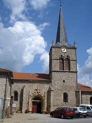
Blanzac is a commune in the Haute-Loire department in south-central France.

<span class="mw-page-title-main">Boisset, Haute-Loire</span> Commune in Auvergne-Rhône-Alpes, France

Boisset is a commune in the Haute-Loire department in south-central France.

<span class="mw-page-title-main">Bonneval, Haute-Loire</span> Commune in Auvergne-Rhône-Alpes, France

Bonneval is a commune in the Haute-Loire department in south-central France.

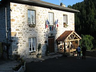
Borne is a commune in the Haute-Loire department in south-central France.

<span class="mw-page-title-main">Chassignolles, Haute-Loire</span> Commune in Auvergne-Rhône-Alpes, France

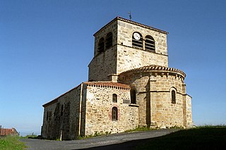
Chassignolles is a commune in the Haute-Loire department in south-central France.

Chazelles is a commune in the Haute-Loire department in south-central France.

Cubelles is a commune in the Haute-Loire department in south-central France.

<span class="mw-page-title-main">Cussac-sur-Loire</span> Commune in Auvergne-Rhône-Alpes, France

Cussac-sur-Loire is a commune in the Haute-Loire department in south-central France.

<span class="mw-page-title-main">Grazac, Haute-Loire</span> Commune in Auvergne-Rhône-Alpes, France

Grazac is a commune in the Haute-Loire department in south-central France.

<span class="mw-page-title-main">Grèzes, Haute-Loire</span> Commune in Auvergne-Rhône-Alpes, France

Grèzes is a commune in the Haute-Loire department in south-central France.

Mercœur is a commune in the Haute-Loire department in south-central France.

<span class="mw-page-title-main">Saint-Hilaire, Haute-Loire</span> Commune in Auvergne-Rhône-Alpes, France

Saint-Hilaire is a commune in the Haute-Loire department in south-central France.

<span class="mw-page-title-main">Saint-Vénérand</span> Commune in Auvergne-Rhône-Alpes, France

Saint-Vénérand is a commune in the Haute-Loire department in south-central France.

<span class="mw-page-title-main">Les Villettes</span> Commune in Auvergne-Rhône-Alpes, France

Les Villettes is a commune in the Haute-Loire department in south-central France.

Auvers-sous-Montfaucon is a commune in the Sarthe department in the region of Pays de la Loire in north-western France.

<span class="mw-page-title-main">Auvers-le-Hamon</span> Commune in Pays de la Loire, France

Auvers-le-Hamon is a commune in the Sarthe department in the region of Pays de la Loire in north-western France.

References

  1. "Répertoire national des élus: les maires". data.gouv.fr, Plateforme ouverte des données publiques françaises (in French). 2 December 2020.
  2. "Populations légales 2021". The National Institute of Statistics and Economic Studies. 28 December 2023.
  3. Population en historique depuis 1968, INSEE
  4. "Fiche Climatologique Statistiques 1991-2020 et records" (PDF) (in French). Météo-France . Retrieved 29 August 2023.