Bala, Kansas | |
|---|---|
 | |
 Bala  Bala | |
| Coordinates: 39°18′39″N96°57′01″W / 39.31083°N 96.95028°W [1] | |
| Country | United States |
| State | Kansas |
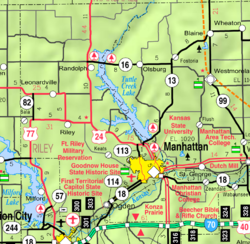
| Counties | Riley |
| Founded | 1862 |
| Named after | Bala |
| Elevation | 1,293 ft (394 m) |
| Population | |
• Total | 29 |
| Time zone | UTC-6 (CST) |
| • Summer (DST) | UTC-5 (CDT) |
| Area code | 785 |
| FIPS code | 20-03800 |
| GNIS ID | 2804655 [1] |
Bala is a census-designated place (CDP) in Bala Township, Riley County, Kansas, United States. [1] As of the 2020 census, the population was 29. [2]
