Bear Creek No. 6 Township | |
|---|---|
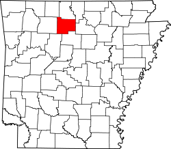
 Bear Creek No. 6 Township Location in Arkansas | |
| Coordinates: 35°54′16″N92°36′32″W / 35.90444°N 92.60889°W | |
| Country | |
| State | |
| County | Searcy |
| Area | |
• Total | 25.013 sq mi (64.78 km2) |
| • Land | 24.917 sq mi (64.53 km2) |
| • Water | 0.096 sq mi (0.25 km2) |
| Population (2010) | |
• Total | 913 |
| • Density | 36.64/sq mi (14.15/km2) |
| Time zone | UTC-6 (CST) |
| • Summer (DST) | UTC-5 (CDT) |
| Zip Code | 72650 (Marshall) |
| Area code | 870 |
Bear Creek No. 6 Township is one of 15 current townships in Searcy County, Arkansas, USA. [1] As of the 2010 census, its total population was 913.