
Haworth is a village in West Yorkshire, England. Located in the Pennines, Haworth is 3 miles (5 km) south-west of Keighley, 8 miles north of Halifax, 10 miles (16 km) west of Bradford and 10 miles (16 km) east of Colne in Lancashire. The surrounding areas include Oakworth and Oxenhope. Nearby villages include Cross Roads, Stanbury and Lumbfoot.

Oxenhope is a village and civil parish near Keighley in the metropolitan borough of Bradford, West Yorkshire, England. It was historically part of the West Riding of Yorkshire. The population was 2,476 at the time of the 2001 census which had increased to 2,626 at the 2011 Census. Oxenhope railway station is the terminus for the Keighley and Worth Valley Railway.

Keighley is a market town and a civil parish in the City of Bradford Borough of West Yorkshire, England. It is the second largest settlement in the borough, after Bradford.
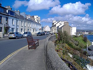
Port St Mary is a village district in the south-west of the Isle of Man. The village takes its name from the former Chapel of St Mary which is thought to have overlooked Chapel Bay in the village. Its population is 1,953 according to the 2011 census. In the 19th century it was sometimes called Port-le-Murray.

Thornton is a village and former civil parish, within the metropolitan borough of the City of Bradford, in West Yorkshire, England. It lies 6 miles (9.7 km) to the west of the city centre of Bradford, and together with neighbouring Allerton, had a total resident population in 2001 of 15,004, increasing to 17,276 at the 2011 Census. Its most famous residents were the Brontës.
Combe is a village and civil parish about 5 miles (8 km) northeast of Witney in Oxfordshire. It is bounded to the south and southwest by the River Evenlode, to the northwest partly by the course of the Akeman Street Roman road and partly by a road parallel with it, and to the east by the boundary of Blenheim Great Park. The 2011 Census recorded the parish's population as 768.

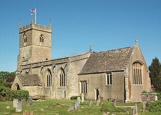
Donhead St Mary is a village and civil parish in southwest Wiltshire, England, on the county border with Dorset. The village lies about 2+1⁄2 miles (4.0 km) east of the Dorset town of Shaftesbury and stands on high ground above the River Nadder, which rises in the parish.

Long Lee and Thwaites Brow is a suburb about one mile to the south east of the centre of the town of Keighley, West Yorkshire, England.

Norbury is a hamlet and former civil parish, now in the parish of Marbury and District, in the Cheshire East district, in the ceremonial county of Cheshire, England. It included the small settlements of Gauntons Bank, Hurst Green, Swanwick Green, Norbury Common and Holtridge, with a total population of 194 people in 2011. The hamlet of Norbury lies around 5 miles (8 km) north of Whitchurch, Shropshire. Nearby villages include No Man's Heath, Marbury and Wrenbury.

Haworth railway station serves the village of Haworth in West Yorkshire, England.
The Wesleyan Methodist Church was the majority Methodist movement in England following its split from the Church of England after the death of John Wesley and the appearance of parallel Methodist movements. The word Wesleyan in the title differentiated it from the Welsh Calvinistic Methodists and from the Primitive Methodist movement, which separated from the Wesleyans in 1807. The Wesleyan Methodist Church followed the Wesleys in holding to an Arminian theology, in contrast to the Calvinism held by George Whitefield, by Selina Hastings, and by Howell Harris and Daniel Rowland, the pioneers of Welsh Methodism. Its Conference was also the legal successor to John Wesley as holder of the property of the original Methodist societies.
Fritwell is a village and civil parish about 5+1⁄2 miles (9 km) northwest of Bicester in Oxfordshire. The 2011 Census recorded the parish's population as 736.
Jabez Burns was an English nonconformist divine and Christian philosophical writer. He was one of the first clergymen of any denomination to preach teetotalism from the pulpit.
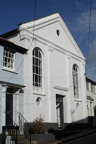
Jarvis Hall is a former Nonconformist chapel in the village of Steyning, in the Horsham district of the English county of West Sussex. Since its construction in 1835, the Classical-style building has been used by four different Nonconformist Christian denominations: the Countess of Huntingdon's Connexion, Wesleyan Methodists, the Salvation Army and Plymouth Brethren. The Brethren occupied it last and for the longest time. After about 150 years of religious use, it was sold for residential conversion. English Heritage has listed the former chapel at Grade II for its architectural and historical importance.

Burnley, in Lancashire, England, has a long history of religious worship, dating from at least before 1122 in the case of the Church of England. The chapel at Towneley Hall was the centre for Roman Catholic worship in Burnley until modern times. Well before the Industrial Revolution, the town saw the emergence of many non-conformist churches and chapels. In 1891 the town was the location of the meeting which saw the creation of the Baptist Union of Great Britain and Ireland. In the late 19th century a Jewish synagogue was established, and in recent times evangelical and free churches have appeared, as well as a large purpose-built mosque.

Poole Methodist Chapel is in Wettenhall Road, Poole, Cheshire, England. It is an active Methodist church in the Cheshire South Methodist Circuit. The church is recorded in the National Heritage List for England as a designated Grade II listed building.
Alfred Hill Thompson, ARIBA was an English architect in the Gothic Revival and Arts and Crafts styles, who specialised in small schools and chapels in the Yorkshire area. In partnership with Isaac Thomas Shutt he co-designed the Church of All Saints, Harlow Hill, completed in 1871.

Hainworth is a hamlet 1 mile (2 km) south of Keighley in West Yorkshire, England. The hamlet faces north across the lower end of the Worth Valley with a steep wooded incline towards Keighley.

Ryecroft is a hamlet near to the village of Harden in West Yorkshire, England. The hamlet is on the road between Harden and Haworth, 1.9 miles (3 km) south of Keighley, 1.9 miles (3 km) west of Bingley and 0.6 miles (1 km) west of the centre of Harden.

