Bowman, Chicot County, Arkansas | |
|---|---|
 Bowman  Bowman | |
| Coordinates: 33°27′14″N91°18′11″W / 33.45389°N 91.30306°W | |
| Country | |
| State | |
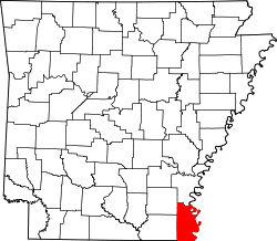
| County | Chicot |
| Elevation | 40 m (131 ft) |
| Time zone | UTC-6 (Central (CST)) |
| • Summer (DST) | UTC-5 (CDT) |
| GNIS feature ID | 57415 [1] |
Bowman is an unincorporated community in Chicot County, Arkansas, United States. [1]