Harwood, Arkansas | |
|---|---|
 Harwood  Harwood | |
| Coordinates: 33°09′46″N91°07′41″W / 33.16278°N 91.12806°W | |
| Country | United States |
| State | Arkansas |
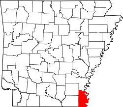
| County | Chicot |
| Elevation | 118 ft (36 m) |
| Time zone | UTC-6 (Central (CST)) |
| • Summer (DST) | UTC-5 (CDT) |
| Area code | 870 |
| GNIS feature ID | 57051 [1] |
Harwood is an unincorporated community in Chicot County, Arkansas, United States. [1]
In 1915, it was the site of the 5,000-acre Florence Plantation. [2]