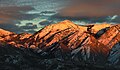
Wasatch Peak is a 13,156-foot elevation (4,010 m) mountain summit located in Summit County, Utah, United States.

Mount Raymond is a 10,241-foot elevation (3,121 m) mountain summit located in Salt Lake County, Utah, United States.
Gobblers Knob is a 10,246-foot elevation (3,123 m) mountain summit located in Salt Lake County, Utah, United States.

Kesler Peak is a 10,403-foot elevation (3,171 m) mountain summit located in Salt Lake County, Utah, United States.

Willard Peak is a 9,763-foot elevation (2,976 m) mountain summit located on the common border Box Elder County shares with Weber County in Utah, United States.
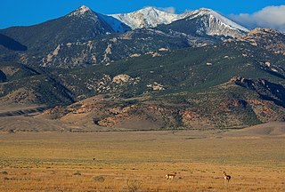
Haystack Peak is a 12,020-foot elevation (3,664 m) mountain summit located in Juab County, Utah, United States.

Spanish Fork Peak is a 10,192-foot elevation (3,107 m) mountain summit located in Utah County, Utah, United States.

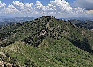
Grandeur Peak is an 8,299-foot-elevation (2,530-meter) mountain summit in the Wasatch Range in Salt Lake County, Utah, United States.

Mount Aire is an 8,621-foot-elevation (2,628-meter) mountain summit located in Salt Lake County, Utah, United States.

O'Sullivan Peak, also known as Sunrise Peak, is an 11,275-foot-elevation (3,437-meter) mountain summit located in Salt Lake County, Utah, United States.

Sugarloaf Mountain is an 11,051-foot-elevation (3,368-meter) summit on the boundary that Salt Lake County shares with Utah County, in Utah, United States.

Mount Baldy is an 11,068-foot-elevation (3,374-meter) summit on the boundary that Salt Lake County shares with Utah County, in Utah, United States.

Clayton Peak, also known unofficially as Mount Majestic, is a 10,721-foot-elevation (3,268-meter) summit on the boundary that Salt Lake County shares with Wasatch County, in Utah, United States.

Mount Millicent is a 10,452-foot-elevation (3,186-meter) summit in Salt Lake County, Utah, United States.

Mount Wolverine is a 10,795-foot-elevation (3,290-meter) summit in Salt Lake County, Utah, United States.

Sunset Peak is a 10,648-foot-elevation (3,246-meter) summit in Utah, United States.

Dromedary Peak is an 11,107-foot-elevation (3,385-meter) mountain summit located in Salt Lake County, Utah, United States.

Mount Tuscarora is a 10,646-foot-elevation (3,245-meter) summit in Salt Lake County, Utah, United States.

Lowe Peak is a 10,589-foot-elevation (3,228-meter) mountain summit located on the common boundary that Tooele County shares with Utah County in Utah, United States.
Kelsey Peak is a 10,373-foot-elevation (3,162-meter) mountain summit located on the common boundary that Tooele County shares with Utah County in Utah, United States.