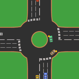
Bricklayers' Arms is a road intersection between the A2 and the London Inner Ring Road in south London, England. It is the junction of Tower Bridge Road, Old Kent Road, New Kent Road and Great Dover Street; Old Kent Road and New Kent Road are connected eastbound only by a flyover.

The London Inner Ring Road, or Ring Road as signposted, is a 12-mile (19 km) route with an average diameter of 2.75–5.5 miles (4.43–8.85 km) formed from a number of major roads that encircle Central London. The ring road forms the boundary of the London congestion charge zone, although the ring road itself is not part of the zone.

England is a country that is part of the United Kingdom. It shares land borders with Wales to the west and Scotland to the north-northwest. The Irish Sea lies west of England and the Celtic Sea lies to the southwest. England is separated from continental Europe by the North Sea to the east and the English Channel to the south. The country covers five-eighths of the island of Great Britain, which lies in the North Atlantic, and includes over 100 smaller islands, such as the Isles of Scilly and the Isle of Wight.

Old Kent Road is a major thoroughfare in South East London, England, passing through the London Borough of Southwark. It was originally part of an ancient trackway that was paved by the Romans and used by the Anglo-Saxons who named it Wæcelinga Stræt. It is now part of the A2, a major road from London to Dover. The road was important in Roman times linking London to the coast at Richborough and Dover via Canterbury. It was a route for pilgrims in the Middle Ages as portrayed in Chaucer's Canterbury Tales, when Old Kent Road was known as Kent Street. The route was used by soldiers returning from the Battle of Agincourt.
Contents
- Coaching inn
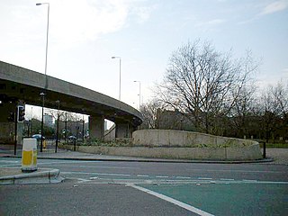
- Flyover
- Railway facilities
- Bricklayers' Arms branch
- Passenger terminus
- Bricklayers' Arms Goods Depot
- Willow Walk Goods Depot
- Motive Power depot and repair shop
- Current use of the site
- Notes
- References
- External links
The area is named after a local coaching inn that was situated at the junction. It is close to the former site of a large railway facility sharing the same name.

The coaching inn was a vital part of Europe's inland transport infrastructure until the development of the railway, providing a resting point for people and horses. The inn served the needs of travellers, for food, drink, and rest. The attached stables, staffed by hostlers, cared for the horses, including changing a tired team for a fresh one. Coaching inns were used by private travellers in their coaches, the public riding stagecoaches between one town and another, and the mail coach. Just as with roadhouses in other countries, although many survive, and some still offer overnight accommodation, in general coaching inns have lost their original function and now operate as ordinary pubs.