
State Route 152 is a state highway that runs from east to west near the middle of the U.S. state of California from State Route 1 in Watsonville to State Route 99 southeast of Merced. Its western portion provides access to and from Interstate 5 toward Southern California for motorists in or near Gilroy and San Jose.

State Route 140 is a state highway in the U.S. state of California, 102 miles (164 km) in length. It begins in the San Joaquin Valley at Interstate 5 near Gustine, and runs east into Sierra Nevada, terminating in Yosemite National Park.
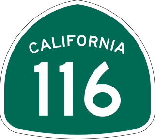
State Route 116 (SR 116) is a state highway in the U.S. state of California in Sonoma County. The route runs from SR 1 on the Pacific coast near Jenner to SR 121 south of Sonoma.
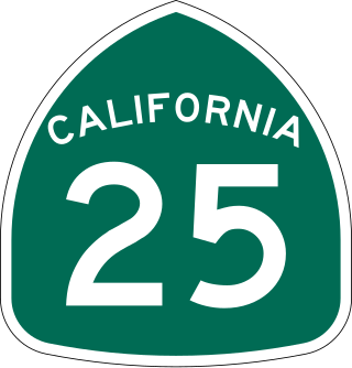
State Route 25 is a state highway in the U.S. state of California between State Route 198 in Monterey County and U.S. Route 101 in Santa Clara south of Gilroy. For most of its length, SR 25 runs through the center of San Benito County.

State Route 33 is a north–south state highway in the U.S. state of California. It runs north from U.S. Route 101 in Ventura through the Transverse Ranges and the western side of the San Joaquin Valley to Interstate 5 at a point east of Tracy. SR 33 replaced part of U.S. Route 399 in 1964 during the "great renumbering" of routes. In the unincorporated sections of Kern County it is known as the West Side Highway. In addition, the California Legislature designated the entire Kern County portion as the Petroleum Highway in 2004. The southernmost portion in Ventura is a freeway known as the Ojai Freeway, while it is known as the Maricopa Highway from Ojai to Maricopa.

State Route 29 is a state highway in the U.S. state of California that travels from Interstate 80 in Vallejo north to State Route 20 in Upper Lake. It serves as the primary road through the Napa Valley, providing access to the Lake County region to the north and the rest of the San Francisco Bay Area to the south.

State Route 96 is a state highway in the U.S. state of California that follows the Trinity and Klamath Rivers between State Route 299 in Willow Creek and Interstate 5 near Yreka in Northern California. For most of the route it goes through the Karuk Tribal Reservation, the Yurok Tribal Reservation, and the Hoopa Tribal Reservation. Over half of the length is the Bigfoot Scenic Byway, passing through "the region boasting the most sightings of Bigfoot of anywhere in the country" according to the National Forest Scenic Byway Program.

State Route 28 is a state highway in the U.S. state of California that travels along the northern shore of Lake Tahoe, starting at Route 89 in Tahoe City and ending at the Nevada state border, whereupon it becomes Nevada State Route 28.

State Route 36 is an east–west state highway in the U.S. state of California that is routed from U.S. Route 101 in Humboldt County to U.S. Route 395 just east of Susanville in Lassen County. The highway passes through Red Bluff, the county seat of Tehama County, on the northern edge of the Sacramento Valley. The portion of SR 36 travelling past Lassen Volcanic National Park and Lake Almanor is part of the Volcanic Legacy Scenic Byway, a National Scenic Byway. Also, Route 36 between Alton and Susanville is a designated Blue Star Memorial Highway.

State Route 44 is a state highway in the U.S. State of California that travels in an east–west direction from State Routes 273 and 299 in Redding to Lassen Volcanic National Park before ending at State Route 36 west of Susanville. This final portion, between the park and its terminus, is part of the Volcanic Legacy Scenic Byway, a National Scenic Byway.

State Route 53, also known as the Clearlake Expressway for part of its length, is a state highway in the U.S. state of California that runs in a north–south direction in Lake County east of Clear Lake, It connects SR 29 and SR 20 via the city of Clearlake.

State Route 121 is a state highway in the U.S. state of California. It runs through the Wine Country region of Sonoma and Napa counties. Its southern terminus is at State Route 37 at Sears Point, and its northern terminus is at State Route 128 near Lake Berryessa. SR 121 passes through the Carneros region of the southern Sonoma Valley and Napa Valley.

State Route 161 is a state highway in the U.S. state of California that runs along the California–Oregon state line in Siskiyou County. It begins at U.S. Route 97 north of Dorris and goes east to the intersection of SR 139 and Oregon Route 39 north of Tulelake. SR 161 is part of the Volcanic Legacy Scenic Byway.

State Route 127 is a state highway in the U.S. state of California that connects Interstate 15 in Baker to Nevada State Route 373 at the Nevada state line, passing near the eastern boundary of Death Valley National Park. The entire length of the highway closely follows the central portion of the former Tonopah and Tidewater Railroad and loosely follows the Amargosa River.

State Route 147 is a state highway in the U.S. state of California. The route runs along the eastern side of Lake Almanor. It serves as a bypass to connect State Route 89 and State Route 36 on the eastern side of the lake, whereas the two highways already meet on the western side in Chester.

State Route 151 is a state highway in the U.S. state of California. The route runs along Shasta Dam Boulevard in Shasta County from Shasta Dam to Interstate 5 near Shasta Lake City.
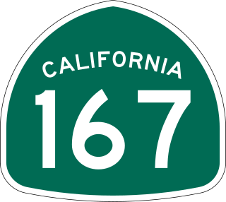
State Route 167 is a state highway in the U.S. state of California in Mono County. From U.S. Route 395, SR 167 runs along Pole Line Road north of Mono Lake eastward to the Nevada state line where it meets Nevada State Route 359. This road runs almost completely straight, and can be seen almost 15 miles (24 km) into the distance as a straight line.
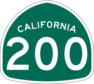
State Route 200 is a state highway in the U.S. state of California near Arcata in Humboldt County. It is a cut-off connecting U.S. Route 101 and State Route 299. It runs along the north bank of the Mad River, to the north of the 101-299 junction. It is also known as North Bank Road.
State Route 270, also known as Bodie Road, is a state highway in the U.S. state of California. It is a spur route off of U.S. Route 395 south of Bridgeport in Mono County, leading into Bodie State Historic Park.
State Route 271 is a state highway in the U.S. state of California that runs along a former routing of U.S. Route 101 in Mendocino and Humboldt counties. It also connects with State Route 1 just before that route's terminus with US 101 in Leggett. After US 101 was realigned, SR 271 was reduced to being a frontage road in discontinuous segments. While US 101 stays mostly in second growth redwoods, SR 271 is used as a scenic alternate through several old growth redwood groves.

