Landmass

Last updated
An image of Antarctica differentiating its landmass (dark grey) from its ice shelves (minimum extent, light grey, and maximum extent, white) Antarctic Grows.jpg
An image of Antarctica differentiating its landmass (dark grey) from its ice shelves (minimum extent, light grey, and maximum extent, white)

A landmass, or land mass, is a large region or area of land that is in one piece and not broken up by oceans. [1] [2] The term is often used to refer to lands surrounded by an ocean or sea, such as a continent or a large island. [3] [4] In the field of geology, a landmass is a defined section of continental crust extending above sea level. [5]

Contents

Continents are often thought of as distinct landmasses and may include any islands that are part of the associated continental shelf. When multiple continents form a single contiguous land connection, the connected continents may be viewed as a single landmass. Earth's largest landmasses are (starting with largest): [6] [7] [8]

  1. Afro-Eurasia (main landmass of the geoscheme region of the same name and its continental parts Africa and Eurasia - or Europe and Asia; the center of Earth's land hemisphere, comprising more than half of Earth's landmass)
  2. Americas (main landmass of the geo-region of the same name and its continental parts North and South America; comprising most of the landmass of the Western Hemisphere)
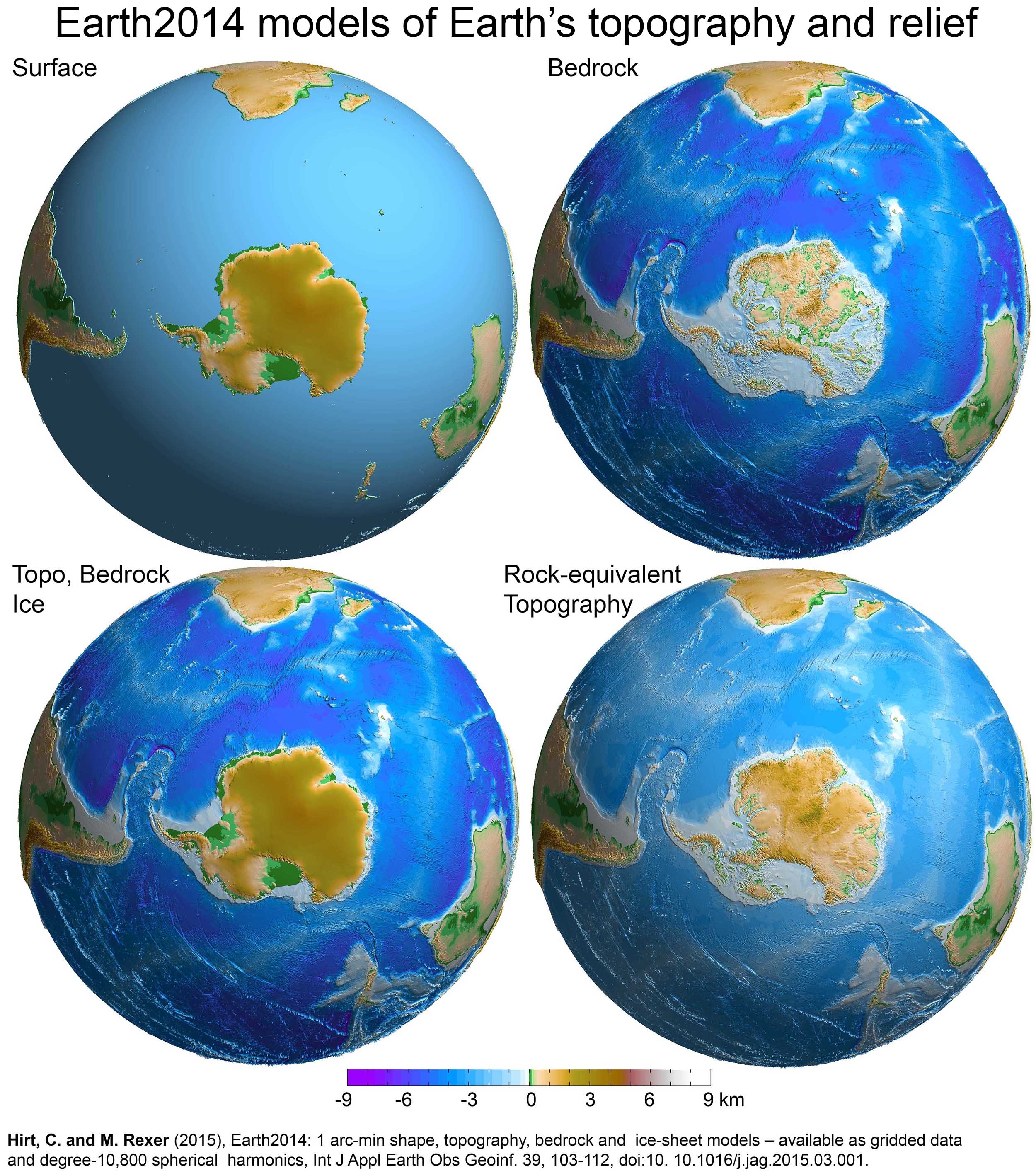
  3. Antarctica (main landmass of the geo-region and continent of the same name)
  4. Mainland Australia (main landmass of the geo-region Oceania, its sub-region Australasia, the continent Australia and the country Australia)

Continential landmasses

Continental landmasses are not usually classified as islands despite being completely surrounded by water. [Note 1] However, because the definition of continent varies between geographers, the Americas are sometimes defined as two separate continents while mainland Australia is sometimes defined as an island as well as a continent. Nevertheless, for the purposes of this list, mainland Australia along with the other major landmasses have been listed as continental landmasses for comparison. The figures are approximations and are for the four major continental landmasses only. [Note 2] The artificial Panama and Suez canals are disregarded, as they are not natural waters that separate the continents.

RankContinental landmass [Note 3] AreaNation(s)Notes
(km2)(sq mi)
1 Afro-Eurasia 79,810,726 [Note 4] 30,815,094

126 countries

7 de facto states

48 countries on mainland Africa [Note 5] and 78 countries on mainland Eurasia (38 countries on continental Asia [Note 6] and 40 countries on continental Europe [Note 7] ).
Two states on mainland Africa and five states on mainland Eurasia (three states on continental Asia [Note 8] and two states on continental Europe).
2 Americas 37,699,623 [Note 9] 14,555,906

22 countries
French Guiana

Ten countries on mainland North America [Note 10] and twelve countries on mainland South America.
An overseas department and region of France, located on mainland South America.
3 Antarctica 12,272,800 [Note 11] 4,738,600None7 countries have made 7 territorial claims. All territorial claims in Antarctica are in abeyance under the Antarctic Treaty System.

Antarctica is a special case, for if its ice is considered not as land, but as water, it is not a single landmass, but several landmasses of much smaller area, since the ice-bedrock boundary is below sea level in many regions of the continent. [13] If its ice cover were to be lifted, some rocks that are currently below sea level would rise as the weight of the ice would be removed, [14] although this would in part be counteracted, and in some areas of the continent overtaken, by eustatic rises in sea level. [15]
4 Australia 7,591,608 [Note 12] 2,931,136Australia Mainland Australia is more than three times the size of Greenland, the largest island. [17] Australia is sometimes dubbed "The Island Continent" or "Earth's largest island, but its smallest continent". [18]
Dymaxion map (Fuller map) with continental landmasses (I,II,III,IV) and largest islands (1-30) roughly to scale Fuller projection with largest islands.svg
Dymaxion map (Fuller map) with continental landmasses (I,II,III,IV) and largest islands (1–30) roughly to scale

See also

Notes

  1. The United States Geological Survey is a notable exception. The United States-based scientific agency considers all landmasses surrounded by ocean water, including continental mainlands, as islands. Under their definition, Africa, Australia, Eurasia, North America, and South America are classified as continental mainland islands. [9]
  2. Physiographically, there are only four continents (including offshore continental islands which sit on the nearby continental shelves) that are completely surrounded by water: Afro-Eurasia (57% of the global land area), the Americas (28.5%), Antarctica (9%), and Australia (5%). The remaining 0.5% is made up of remote oceanic islands, mostly scattered within Oceania in the central and south Pacific Ocean. [10]
  3. Including landmasses which are above water and over 2,500,000 km2 (970,000 sq mi). The submerged continent of Zealandia (approx. 5,000,000 km2 (1,900,000 sq mi)) is excluded. [11]
  4. Figure derived from the Global Islands Explorer website, by adding the areas of mainland Africa (29,370,907 km2 (11,340,171 sq mi)) and mainland Eurasia (50,439,819 km2 (19,474,923 sq mi)).
  5. Egypt has a small portion of its land located on mainland Eurasia. Equatorial Guinea's capital city is located on an island.
  6. Azerbaijan, Georgia, Kazakhstan, and Turkey each have a small portion of their land located on continental Europe. Malaysia has a significant portion of its land located on an island.
  7. Russia has a big portion of its land located on continental Asia. Denmark's capital city is located on an island.
  8. Abkhazia and South Ossetia are both located south of the Greater Caucasus watershed and thus geographically parts of Asia.
  9. Figure derived from the Global Islands Explorer website, by adding the areas of mainland North America (20,090,075 km2 (7,756,821 sq mi)) and mainland South America (17,609,548 km2 (6,799,084 sq mi)).
  10. Depending on the definition, a significant portion of Panama (land east of the Panama Canal) could be considered a part of mainland South America.
  11. Area of mainland Antarctica, without the ice shelves and nearby islands. [12]
  12. Figure derived from the Geoscience Australia website, the area of mainland Tasmania (64,519 km2 (24,911 sq mi)) has been deducted. [16] The Global Islands Explorer website has given a slightly larger figure of 7,618,696 km2 (2,941,595 sq mi) for the area of mainland Australia.

Related Research Articles

<span class="mw-page-title-main">Land bridge</span> Connection between two land form bodies

In biogeography, a land bridge is an isthmus or wider land connection between otherwise separate areas, over which animals and plants are able to cross and colonize new lands. A land bridge can be created by marine regression, in which sea levels fall, exposing shallow, previously submerged sections of continental shelf; or when new land is created by plate tectonics; or occasionally when the sea floor rises due to post-glacial rebound after an ice age.

<span class="mw-page-title-main">Contiguous United States</span> 48 states of the US apart from Alaska and Hawaii

The contiguous United States consists of the 48 adjoining U.S. states and the District of Columbia of the United States of America in central North America. The term excludes the only two non-contiguous states, which are Alaska and Hawaii, and all other offshore insular areas, such as the U.S. territories of American Samoa, Guam, the Northern Mariana Islands, Puerto Rico, and the U.S. Virgin Islands. The colloquial term "Lower 48" is also used, especially in relation to Alaska.

<span class="mw-page-title-main">Pole of inaccessibility</span> Geographic location

In geography, a pole of inaccessibility is the farthest location in a given landmass, sea, or other topographical feature, starting from a given boundary, relative to a given criterion. A geographical criterion of inaccessibility marks a location that is the most challenging to reach according to that criterion. Often it refers to the most distant point from the coastline, implying the farthest point into a landmass from the shore, or the farthest point into a body of water from the shore. In these cases, a pole of inaccessibility is the center of a maximally large circle that can be drawn within an area of interest only touching but not crossing a coastline. Where a coast is imprecisely defined, the pole will be similarly imprecise.

<span class="mw-page-title-main">Geography of Asia</span>

Geography of Asia reviews geographical concepts of classifying Asia, comprising 58 countries and territories.

<span class="mw-page-title-main">Boundaries between the continents</span>

Determining the boundaries between the continents is generally a matter of geographical convention. Several slightly different conventions are in use. The number of continents is most commonly considered seven but may range as low as four when Afro-Eurasia and the Americas are both considered as single continents. An island can be considered to be associated with a given continent by either lying on the continent's adjacent continental shelf or being a part of a microcontinent on the same principal tectonic plate. An island can also be entirely oceanic while still being associated with a continent by geology or by common geopolitical convention. Another example is the grouping into Oceania of the Pacific Islands with Australia and Zealandia.

Continental crustal fragments, partly synonymous with microcontinents, are pieces of continents that have broken off from main continental masses to form distinct islands that are often several hundred kilometers from their place of origin.

<span class="mw-page-title-main">Tricontinental Chile</span> Geopolitical concept denoting Chiles unique position

Tricontinental Chile is a geopolitical concept denoting Chile's unique position with its mainland in South America, Easter Island in Oceania (Polynesia) and the Chilean Antarctic Territory in Antarctica. This concept is built on the basis that there are Chilean territories as far away from the mainland as to be considered part of Polynesia and on a larger scale, Oceania, and Chile's claims to Antarctica provide it a basis for claiming to be a part of Antarctica as well.

<span class="mw-page-title-main">Geography of Australia</span>

The geography of Australia encompasses a wide variety of biogeographic regions being the world's smallest continent, while comprising the territory of the sixth-largest country in the world. The population of Australia is concentrated along the eastern and south-eastern coasts. The geography of the continent is extremely diverse, ranging from the snow-capped mountains of the Australian Alps and Tasmania to large deserts, tropical and temperate forests, grasslands, heathlands and woodlands.

<span class="mw-page-title-main">Zealandia</span> Mostly submerged continental crust area in Oceania

Zealandia, also known as Te Riu-a-Māui (Māori) or Tasmantis, is an almost entirely submerged mass of continental crust in Oceania that subsided after breaking away from Gondwana 83–79 million years ago. It has been described variously as a submerged continent, continental fragment, and microcontinent. The name and concept for Zealandia was proposed by Bruce Luyendyk in 1995, and satellite imagery shows it to be almost the size of Australia. A 2021 study suggests Zealandia is over a billion years old, about twice as old as geologists previously thought.

<span class="mw-page-title-main">Afro-Eurasia</span> Landmass consisting of Africa, Asia, and Europe

Afro-Eurasia is a landmass comprising the continents of Africa, Asia, and Europe. The terms are compound words of the names of its constituent parts. Afro-Eurasia has also been called the "Old World", in contrast to the "New World" referring to the Americas.

<span class="mw-page-title-main">Continent</span> Large geographical region identified by convention

A continent is any of several large geographical regions. Continents are generally identified by convention rather than any strict criteria. A continent could be a single landmass or a part of a very large landmass, as in the case of Asia or Europe. Due to this, the number of continents varies; up to seven or as few as four geographical regions are commonly regarded as continents. Most English-speaking countries recognize seven regions as continents. In order from largest to smallest in area, these seven regions are Asia, Africa, North America, South America, Antarctica, Europe, and Australia. Different variations with fewer continents merge some of these regions; examples of this are merging North America and South America into America, Asia and Europe into Eurasia, and Africa, Asia, and Europe into Afro-Eurasia.

<span class="mw-page-title-main">Pangaea</span> Supercontinent from the late Paleozoic to early Mesozoic eras

Pangaea or Pangea was a supercontinent that existed during the late Paleozoic and early Mesozoic eras. It assembled from the earlier continental units of Gondwana, Euramerica and Siberia during the Carboniferous approximately 335 million years ago, and began to break apart about 200 million years ago, at the end of the Triassic and beginning of the Jurassic. Pangaea was C-shaped, with the bulk of its mass stretching between Earth's northern and southern polar regions and surrounded by the superocean Panthalassa and the Paleo-Tethys and subsequent Tethys Oceans. Pangaea is the most recent supercontinent to have existed and the first to be reconstructed by geologists.

<span class="mw-page-title-main">Australia (continent)</span> One of Earths seven main divisions of land

The continent of Australia, sometimes known in technical contexts by the names Sahul, Australia-New Guinea, Australinea, or Meganesia to distinguish it from the country of Australia, is located within the Southern and Eastern hemispheres. The continent includes mainland Australia, Tasmania, the island of New Guinea, the Aru Islands, the Ashmore and Cartier Islands, most of the Coral Sea Islands, and some other nearby islands. Situated in the geographical region of Oceania, Australia is the smallest of the seven traditional continents.

This is a list of articles related to plate tectonics and tectonic plates.

<span class="mw-page-title-main">Submerged continent</span> Continental mass, extensive in size, but mainly undersea

A submerged continent or a sunken continent is a region of continental crust, extensive in size but mainly undersea. The terminology is used by some paleogeologists and geographers in reference to some landmasses.

A paleocontinent or palaeocontinent is a distinct area of continental crust that existed as a major landmass in the geological past. There have been many different landmasses throughout Earth's time. They range in sizes, some are just a collection of small microcontinents while others are large conglomerates of crust. As time progresses and sea levels rise and fall more crust can be exposed making way for larger landmasses. The continents of the past shaped the evolution of organisms on Earth and contributed to the climate of the globe as well. As landmasses break apart, species are separated and those that were once the same now have evolved to their new climate. The constant movement of these landmasses greatly determines the distribution of organisms on Earth's surface. This is evident with how similar fossils are found on completely separate continents. Also, as continents move, mountain building events (orogenies) occur, causing a shift in the global climate as new rock is exposed and then there is more exposed rock at higher elevations. This causes glacial ice expansion and an overall cooler global climate. The movement of the continents greatly affects the overall dispersal of organisms throughout the world and the trend in climate throughout Earth's history. Examples include Laurentia, Baltica and Avalonia, which collided together during the Caledonian orogeny to form the Old Red Sandstone paleocontinent of Laurussia. Another example includes a collision that occurred during the late Pennsylvanian and early Permian time when there was a collision between the two continents of Tarimsky and Kirghiz-Kazakh. This collision was caused because of their askew convergence when the paleoceanic basin closed.

References

  1. "Landmass". Cambridge Dictionary. Cambridge.org Dictionary. Retrieved 17 January 2023.
  2. "Landmass". Merriam-Webster. Merriam-Webster.com Dictionary. Retrieved 17 January 2023.
  3. Cook, Peter J.; Carleton, Chris M., eds. (9 November 2000). Continental Shelf Limits: The Scientific and Legal Interface. Oxford University Press. p. 298. doi:10.1093/oso/9780195117820.001.0001. ISBN   9780197561218 via Google Books.
  4. Nijman, Jan; Muller, Peter O.; de Blij, H.J. (2017). "Introduction". Regions: Geography: Realms, Regions, and Concepts (17th ed.). Wiley. p. 11. ISBN   978-1-119-30189-9.
  5. "Landmass". Dictionary.com. Dictionary.com, LLC. Retrieved 25 July 2020.
  6. Dempsey, Caitlin (2013-10-15). "Geography Facts about the World's Continents". Geography Realm. Retrieved 2022-08-26.
  7. Dunn, Ross E.; Mitchell, Laura J.; Ward, Kerry (23 August 2016). The New World History: A Field Guide for Teachers and Researchers. University of California Press. pp. 232–. ISBN   978-0-520-28989-5 via Google Books.
  8. R.W. McColl, ed. (2005). "continents". Encyclopedia of World Geography. Vol. 1. Facts on File, Inc. p. 215. ISBN   978-0-8160-7229-3 . Retrieved 25 August 2022. And since Africa and Asia are connected at the Suez Peninsula, Europe, Africa, and Asia are sometimes combined as Afro-Eurasia or Eurafrasia. The International Olympic Committee's official flag, containing [...] the single continent of America (North and South America being connected as the Isthmus of Panama).
  9. USGS – Global Islands Explorer
  10. Stephen Hawking; Lucy Hawking (9 January 2020). "Earth: What's It Made Of?". Unlocking the Universe. Puffin. p. 62. ISBN   9780241418864.
  11. GNS Science – Earth's 8th Continent
  12. "Antarctica in Context" (PDF). Landsat Image Mosaic Of Antarctica. United States Geological Survey.
  13. 3D visualisations of the Earth2014 SUR, BED, TBI and RET topography layers over the Southern Hemisphere, centred to Antarctica
  14. Global warming and the stability of the West Antarctic Ice Sheet, Michael Oppenheimer, 1998 (see map of Antarctica showing regions where bedrock is below sea level)
  15. Jonathan L. Bamber; River; Vermeersen; LeBrocq (May 2009). "Reassessment of the Potential Sea-Level Rise from a Collapse of the West Antarctic Ice Sheet". Science. 324 (59295): 901–903. Bibcode:2009Sci...324..901B. doi:10.1126/science.1169335. PMID   19443778. S2CID   11083712.
  16. "Area of Australia – States and Territories". Geoscience Australia. 15 May 2014. Retrieved 3 November 2021.
  17. "Joshua Calder's World Island Info – Continent or Island?". Worldislandinfo.com. Retrieved 28 December 2021.
  18. "Australia in Brief - Department of Foreign Affairs and Trade". Dfat.gov.au. Archived from the original on 20 August 2003. Retrieved 30 August 2010.