State Route 72 is a state highway in the U.S. state of California. The route runs along Whittier Boulevard in the Los Angeles area from SR 39 in La Habra to Interstate 605 in Whittier. SR 72 forms part of El Camino Real.

State Route 107 is a state highway in the U.S. state of California that forms part of Hawthorne Boulevard in the Los Angeles Area from State Route 1 in Torrance north to Redondo Beach Boulevard at the Redondo Beach–Lawndale border.

State Route 131, named Tiburon Boulevard along its entire length, is a state highway in the U.S. state of California in Marin County. It is a short route that connects U.S. Route 101 with the town of Tiburon.

State Route 66 is a state highway in the U.S. state of California that runs along a section of old U.S. Route 66 in Los Angeles and San Bernardino counties. It goes from State Route 210 in La Verne east to Interstate 215 in San Bernardino, passing through Claremont, Upland, Rancho Cucamonga, Fontana and Rialto along Foothill Boulevard. In San Bernardino, it is the part of Fifth Street west of H Street.
U.S. Route 101 Business is a business loop of U.S. Route 101 that runs along Wildwood Avenue in Rio Dell in Humboldt County, California. Its southernmost section between US 101 near Scotia to the north end of the Eel River Bridge is legally defined as an unsigned state highway, State Route 283. The route was defined in 1970 as a transfer from a realigned US 101 after a freeway bypass was built.

State Route 165 is a rural north–south state highway in the U.S. state of California. It runs in the San Joaquin Valley from Interstate 5 south of Los Banos to State Route 99 in Turlock.
State Route 193 is a state highway in the U.S. state of California that runs through Placer and El Dorado counties. It begins as an east–west arterial road running from Lincoln to Newcastle, just west of Auburn. Then after concurrencies with Interstate 80 and State Route 49 through Auburn, SR 193 resumes heading eastward from Cool to Georgetown, then turning south to rejoin SR 49 just north of Placerville.

State Route 103 is a state highway in the U.S. state of California that forms part of the Terminal Island Freeway in Los Angeles and Long Beach. It runs from State Route 47 near Terminal Island north to State Route 1 in Long Beach. At the south end of SR 103, the Terminal Island Freeway runs south with SR 47 over the Commodore Schuyler F. Heim Bridge to its end at Ocean Boulevard on Terminal Island, at the former Long Beach Naval Shipyard. SR 47 then turns west there to its end at Interstate 110.

State Route 185 is a state highway in the San Francisco Bay Area of the U.S. state of California. It runs along sections of Mission Boulevard in Hayward, East 14th Street in San Leandro and International Boulevard in Oakland. At its south end, SR 185 connects with State Routes 92 and 238 in Hayward. At the north end of SR 185 at International Boulevard and 42nd Avenue, the short State Route 77 heads southwest to Interstate 880.

State Route 161 is a state highway in the U.S. state of California that runs along the California–Oregon state line in Siskiyou County. It begins at U.S. Route 97 north of Dorris and goes east to the intersection of SR 139 and Oregon Route 39 north of Tulelake. SR 161 is part of the Volcanic Legacy Scenic Byway.

State Route 151 is a state highway in the U.S. state of California. The route runs along Shasta Dam Boulevard in Shasta County from Shasta Dam to Interstate 5 near Shasta Lake City.
State Route 158 is a state highway in the U.S. state of California. Known as the June Lake Loop, it is a loop route of U.S. Route 395 in Mono County that serves the community of June Lake.

State Route 244 is an unsigned state highway in the U.S. state of California located northeast of Sacramento. It serves as a short freeway connection between the Interstate 80/Interstate 80 Business junction and Auburn Boulevard. SR 244 was first added to the state highway system in 1959 as Legislative Route 288, and was renumbered as SR 244 in the 1964 renumbering. Portions of this route have been removed from the system as recently as 1994.

State Route 175 is a state highway in the U.S. state of California that runs through the Mayacamas Mountains, connecting U.S. Route 101 in Hopland in Mendocino County with State Route 29 in Middletown in Lake County.

State Route 202 is a state highway in the U.S. state of California that serves as a spur route from State Route 58 in Tehachapi in Kern County to the California Correctional Institution.

State Route 223, locally known as Bear Mountain Boulevard, is a state highway in the U.S. state of California that runs west to east through the agricultural land south of Bakersfield in Kern County. Running from Interstate 5 (I-5) to State Route 58 near the city of Arvin, it also intersects with State Route 99 near Greenfield. SR 223 forms a truck route for transporting goods to the three main corridors in the area, I-5, SR 58 and SR 99, without having to drive through Bakersfield.
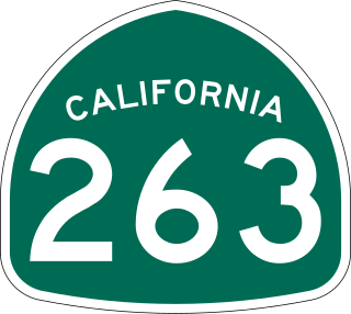
State Route 263 is a state highway in the U.S. state of California in Siskiyou County, running parallel to Interstate 5 to the west. Route 263 connects State Route 3 near the north city limits of Yreka to State Route 96 eight miles (13 km) north. Although SR 263 was once part of U.S. Route 99, it is not signed as part Business Loop 5.

State Route 267, known as North Shore Boulevard, is a state highway in the U.S. state of California. It connects Interstate 80 in Truckee with State Route 28 in Kings Beach on Lake Tahoe's shoreline. It serves as an alternate route to State Route 89 for connecting between Interstate 80 and State Route 28 near the Nevada border. SR 267 also serves the Northstar California ski resort.
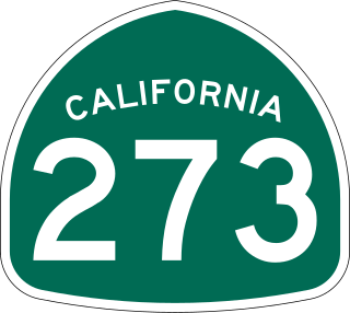
State Route 273 is a state highway in the U.S. state of California that serves as a business loop of Interstate 5 that travels directly through the downtown districts of Anderson and Redding in Shasta County.
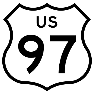
U.S. Route 97 (US 97) is a United States Numbered Highway, stretching from Weed, California to the Canadian border in Oroville, Washington. The California portion of US 97 runs north from I-5 in Weed to the Oregon state line. This is the majority of a shortcut between I-5 and Klamath Falls, Oregon, added to both states' state highway systems in 1931. It was designated US 97 in 1935, replacing an east–west section in southern Oregon.


