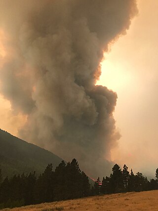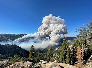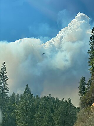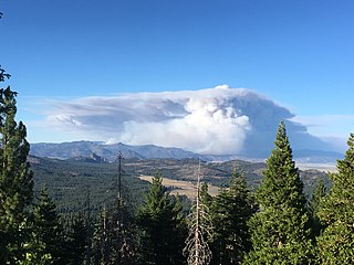
The Alice Creek Fire was a wildfire north of Lincoln in the Lewis and Clark National Forest, located in Lewis and Clark County in Montana in the United States. The fire, started by a lightning strike, was reported on July 22, 2017. The fire burned at least 29,252 acres (118 km2). The Alice Creek Fire crossed the Continental Divide, impacting wildlife, specifically aquatic life, and threatened the Alice Creek Historic District.

The High Cascades Complex was a group of 20 fires burning in four protected areas in Oregon, in the United States, specifically: Crater Lake National Park, Rogue River – Siskiyou National Forest, Umpqua National Forest, and Fremont–Winema National Forest. The first fire in the complex, the Blanket Creek Fire, was started by a lightning strike on July 29, 2017. In total, the fires have burned 72,309 acres (293 km2) and are 28% contained. The fires are directly impacting the communities of Prospect, Union Creek and Diamond Lake, park headquarters, old growth forests that house endangered species like the spotted owl and volcanic features.

The Nash Fire is a wildfire that occurred in the Deschutes National Forest and Willamette National Forest, on the southwest slope of the South Sister Mountain in Oregon in the United States. The fire, which was started by lightning, started on August 10, 2017. The Nash Fire was part of the Horse Creek Complex but for reporting purposes was removed from the complex by authorities. The fire threatened the campgrounds and structures at Elk Lake, Hosmer Lake, Lava Lake, and Little Lava Lake.

The Jones Fire was a wildfire in the Willamette National Forest, approximately 10 miles northeast of Lowell, in Oregon in the United States. The fire, which was first reported on August 10, 2017, burned a total of 10,114 acres (41 km2) and was started by lightning. The fire threatened the community of Lowell and distributed various activities in the park, including the start of deer hunting season.

The Whitewater Fire was a wildfire in and near the Mount Jefferson Wilderness, approximately 13 miles east of Detroit, Oregon, United States. The fire, which was caused by a lightning strike and first reported on July 23, 2017, has burned approximately 14,500 acres (59 km2) and is currently no longer active. It is one of eight fires to burn in Willamette National Forest in the Fall of 2017.

The 2018 Washington wildfire season officially began June 1, 2018. A statewide state of emergency was declared by Governor Jay Inslee on July 31.

The Cranston Fire was a wildfire that burned in southwest Riverside County, California, in the United States. The fire was started on July 25, 2018, by Brandon M. McGlover, in an act of arson. The fire burned a total of 13,139 acres (53 km2), before it was fully contained on August 10. The Cranston Fire impacted the communities of Idyllwild, Mountain Center, and Anza as well as recreational activities in the Lake Hemet area, San Bernardino National Forest and Mount San Jacinto State Park. Over 7,000 people were evacuated due to the Cranston Fire. These communities also went without power for 11 days in 100° temperatures.

The Lake Fire was a wildfire that burned during the 2020 California wildfire season in the Angeles National Forest in Los Angeles County in the state of California in the United States. The fire, which was first reported on August 12, 2020, burned 31,089 acres (12,581 ha) near Lake Hughes. It was fully contained on September 28. The cause of the fire remains unknown. The fire has damaged 3 structures, destroyed 12 structures and 21 outbuildings, and injured 4 firefighters.

The 2020 Loyalton Fire was a large wildfire in Lassen, Plumas and Sierra counties in California and Washoe County in Nevada. After it was ignited by lightning on August 14, 2020, the fire burned 47,029 acres (19,032 ha) in the Tahoe National Forest and the Humboldt-Toiyabe National Forest before it was fully contained on August 26. The Loyalton Fire was notable for generating three fire tornadoes on August 15, necessitating first-of-their-kind warnings by the National Weather Service.

The 2020 Creek Fire was a very large wildfire in central California's Sierra National Forest, in Fresno and Madera counties. One of the most significant fires of California's record-setting 2020 wildfire season, it began on September 4, 2020, and burned 379,895 acres (153,738 ha) over several months until it was declared 100% contained on December 24, 2020. The Creek Fire is the sixth-largest wildfire in recorded California history and the third-largest single fire—i.e. not part of a larger wildfire complex—following the 2021 Dixie Fire.

The North Complex Fire was a massive wildfire complex that burned in the Plumas National Forest in Northern California in the counties of Plumas and Butte. Twenty-one fires were started by lightning on August 17, 2020; by September 5, all the individual fires had been put out with the exception of the Claremont and Bear Fires, which merged on that date, and the Sheep Fire, which was then designated a separate incident. On September 8, strong winds caused the Bear/Claremont Fire to explode in size, rapidly spreading to the southwest. On September 8, 2020, the towns of Berry Creek and Feather Falls were immediately evacuated at 3:15 p.m. PDT with no prior warning. By September 9, 2020, the towns of Berry Creek and Feather Falls had been leveled, with few homes left standing. The fire threatened the city of Oroville, before its westward spread was stopped. The fire killed 16 people and injured more than 100. The complex burned an estimated 318,935 acres (129,068 ha), and was 100% contained on December 3. The fire was managed by the U.S. Forest Service in conjunction with Cal Fire, with the primary incident base in Quincy. The North Complex Fire is the eighth-largest in California's history, and was the deadliest fire in the 2020 California wildfire season.

The Western United States experienced a series of major wildfires in 2020. Severe August thunderstorms ignited numerous wildfires across California, Oregon, and Washington, followed in early September by additional ignitions across the West Coast. Fanned by strong, gusty winds and fueled by hot, dry terrains, many of the fires exploded and coalesced into record-breaking megafires, burning more than 10.2 million acres of land, mobilizing tens of thousands of firefighters, razing over ten thousand buildings, and killing at least 37 people. The fires caused over $19.884 billion in damages, including $16.5 billion in property damage and $3.384 billion in fire suppression costs. Climate change and poor forest management practices contributed to the severity of the wildfires.

The SQF Complex fire—also called the SQF Lightning Complex—was a wildfire complex that burned in Tulare County in Central California in 2020. Comprising the Castle and Shotgun fires, it affected Sequoia National Forest and adjacent areas. Both fires began on August 19, 2020, and burned a combined total of 175,019 acres before the complex as a whole was declared 100 percent contained on January 6, 2021. In the course of the fires, 232 structures were destroyed. There were no fatalities.

The Tamarack Fire was a wildfire that burned 68,637 acres (27,776 ha), primarily in the Mokelumne Wilderness in Alpine County, California, Douglas County, Nevada and Lyon County, Nevada, as part of the 2021 California wildfire season.

The McFarland Fire was a wildfire that burned in the Shasta-Trinity National Forest north of Wildwood in Trinity County, Shasta County, and Tehama County, California in the United States. Started by a lightning strike, the fire was first reported on July 29, 2021 on McFarland Ridge south of Highway 36. As of September 16, 2021, the fire had burned 122,653 acres (49,636 ha) and destroyed 46 structures.

The Beckwourth Complex was a wildfire complex that burned in the Plumas National Forest in Plumas and Lassen counties. The two major fires of the complex, the Dotta Fire and the Sugar Fire, started on June 30 and July 2 northeast of Beckwourth, California. Started by lightning strikes, the two fires collectively burned 105,670 acres (42,763 ha). The complex resulted in the evacuation of numerous residential areas and the closure of portions of Plumas National Forest. In the community of Doyle, California, 33 homes were destroyed.

The Antelope Fire was a wildfire that burned in the Klamath National Forest, the Modoc National Forest, the Shasta-Trinity National Forest, and in Lava Beds National Monument in Siskiyou County, California, in the United States. The fire was started by a lightning strike and was first reported on August 1, 2021. As of October 15, the fire had burned 145,632 acres (58,935 ha).

The Tiger Fire was a wildfire that burned 16,278 acres (6,587 ha) in the U.S. state of Arizona from June to July 2021. The fire was caused by a dry lightning strike in the Prescott National Forest. Although Horsethief Basin Lake was evacuated and both the community of Crown King and the census-designated place of Black Canyon City were threatened, no injuries or deaths were reported, and no buildings were destroyed. Over 300 fire personnel were assigned to contain the blaze.

The 2022 Washington wildfire season officially began in March 2022. As of August 4, 2022, there have been four large wildfires that have burned 30,800 acres (12,500 ha) across the US state of Washington. This season started quieter than normal due to unusually colder weather that kept Eastern and Southeastern Washington burning index's largely below normal into July. As of October 2022, a total of 140,000 acres (57,000 ha) of land in the state was burned – the fewest number of acres burned since 2012.

The 2022 Oregon wildfire season was a series of wildfires burning in the U.S. state of Oregon.


