List of continents
| Name | Era | Time before present | Image | Reference |
|---|---|---|---|---|
| Vaalbara | Eoarchean | 3.6-2.7 Ga |  | [2] |
| Ur | Paleoarchean | 3.1 Ga |  | [4] |
| Kenorland | Neoarchean | 2.7 Ga |  | [5] |
| Arctica | Neoarchean | 2.565 Ga | 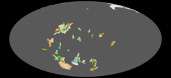 | [6] |
| Columbia | Paleoproterozoic | 2.1-1.5 Ga |  | [7] |
| Atlantica | Paleoproterozoic | 2.0 Ga |  | [8] |
| Nena | Paleoproterozoic | 1.9 Ga | [9] | |
| Baltica | Paleoproterozoic | 1.8 Ga |  | [10] |
| Rodinia | Neoproterozoic | 1100-633 Ma | [11] | |
| Avalonia | Neoproterozoic | 750 Ma |  | [12] |
| Pannotia | Neoproterozoic | 500-600 Ma |  | [13] |
| Pampia | Neoproterozoic | 555-515 Ma | [11] | |
| Gondwana | Neoproterozoic | 550 Ma |  | [14] |
| Cimmeria | Neoproterozoic | 550 Ma |  | [15] |
| Laurasia | Neoproterozoic | 550 Ma |  | [16] |
| Cuyania | Paleozoic | ~420-390 Ma | [17] | |
| Chilenia | Paleozoic | ~420-390 Ma | [18] | |
| Pangaea | Paleozoic | 335 Ma | 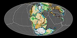 | [16] |
| Africa | Paleozoic | 300 Ma | 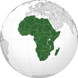 | [19] |
| South America | Mesozoic | 225 Ma | 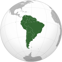 | [20] |
| North America | Mesozoic | 200 Ma |  | [21] |
| Mauritia | Mesozoic | 70-60 Ma |  | [22] |
| Asia | Mesozoic | 66 Ma | 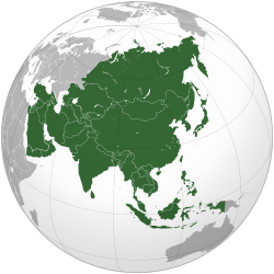 | [23] |
| Australia | Cenozoic | 10 Ma |  | [24] |
| Europe | Cenozoic | 5 Ma |  | [25] |
| Pangaea Proxima | ~250 myf |  | [3] | |
| Novopangaea | ~250 myf |  | [26] | |
| Aurica | ~250 myf | [26] | ||
| Amasia | ~250 myf |  | [26] |