
Moira Shire Council is a Local Government Area in the Northern Victoria Region of Victoria, Australia. Located in the north-east part of the state, it covers an area of 4,045 square kilometres (1,562 sq mi). As at June 2021 the population was 30,018.
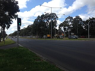
Mulgrave is a suburb in Melbourne, Victoria, Australia, 25 km south-east of Melbourne's Central Business District, located within the City of Monash local government area. Mulgrave recorded a population of 19,889 at the 2021 census.
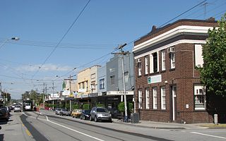
Malvern East is a suburb in Melbourne, Victoria, Australia, 13 km south-east of Melbourne's Central Business District, located within the City of Stonnington local government area. Malvern East recorded a population of 22,296 at the 2021 census.

Strathmerton is a town in Victoria, Australia.
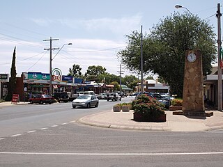
Cobram is a town in Victoria, Australia. It is on the Murray River which forms the border between Victoria and New South Wales. Cobram along with the nearby towns of Numurkah and Yarrawonga is part of Shire of Moira and is the administrative centre of the council. Its twin town of Barooga is located on the north side of the Murray River. Surrounding Cobram are a number of orchards, dairy farms and wineries. At the 2016 census, Cobram had a population of 6,014. Barooga's population is currently 1,817.

Berrigan is a town on the Riverina Highway in the Riverina region of New South Wales, Australia. Berrigan is in the Berrigan Shire local government area and contains the Berrigan Shire Council offices. At the 2016 census, Berrigan had a population of 1,260.

Barooga is a border town in the Riverina region of New South Wales, Australia, located in the Berrigan Shire local government area. It is situated just north of the Murray River which forms the border with Victoria. Barooga's population at the 2016 census was 1,817.
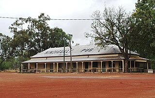
Yarroweyah is a town in northern Victoria, Australia. The town is located in the Shire of Moira local government area, 251 kilometres (156 mi) north of the state capital, Melbourne and 10 kilometres (6 mi) west of Cobram. The town is situated near the intersection of Kenny Road, Kokoda Road and the Murray Valley Highway. At the 2016 census, Yarroweyah and the surrounding area had a population of 548.

The Shire of Cobram was a local government area on the Murray River in the Goulburn Valley region, about 240 kilometres (149 mi) north of Melbourne, the state capital of Victoria, Australia. The shire covered an area of 322 square kilometres (124.3 sq mi), and existed from 1953 until 1994.

The Shire of Nathalia was a local government area on the Murray River in the Goulburn Valley region, about 220 kilometres (137 mi) north of Melbourne, the state capital of Victoria, Australia. The shire covered an area of 1,238.97 square kilometres (478.4 sq mi), and existed from 1879 until 1994.

The Shire of Numurkah was a local government area on the Murray River in the Goulburn Valley region, about 210 kilometres (130 mi) north of Melbourne, the state capital of Victoria, Australia. The shire covered an area of 820 square kilometres (316.6 sq mi), and existed from 1957 until 1994.

The Shire of Tungamah was a local government area in the Goulburn Valley region, about 240 kilometres (149 mi) northeast of Melbourne, the state capital of Victoria, Australia. The shire covered an area of 1,143 square kilometres (441.3 sq mi), and existed from 1878 until 1994.

The Shire of Yarrawonga was a local government area on the Murray River, in the Goulburn Valley region, about 260 kilometres (162 mi) northeast of Melbourne, the state capital of Victoria, Australia. The shire covered an area of 626.78 square kilometres (242.0 sq mi), and existed from 1891 until 1994.
Nindigully is a rural town within the locality of Thallon in the Shire of Balonne, Queensland, Australia.
Muckatah is a locality in northern Victoria, Australia in the local government area of the Shire of Moira.
Katamatite East is a locality in Victoria, Australia in the local government area of the Shire of Moira. Cobram East borders the north of the locality, Katamatite borders the west and south of the locality, and Boosey borders the east of the locality.
Marlbed is a locality in the Shire of Buloke, Victoria, Australia. Marlbed post office opened on 1 August 1888, was renamed Jil Jil on 1 May 1911 and was closed on 31 January 1943.
Wondecla is a rural locality in the Tablelands Region, Queensland, Australia. In the 2016 census Wondecla had a population of 638 people.
The Goulburn Valley Football Association (GVFA) is an Australian rules football competition that was first established in 1888 in the Goulburn Valley of Victoria, Australia, with the foundation clubs being Cobram, Muckatah, Nathalia, Numurkah, Wunghnu and Yarroweyah.
The Cobram railway line was a short branch of the Tocumwal line in the north-eastern region of the Victorian railway network.
