
Hotchkiss is a statutory town in Delta County, Colorado, United States. The population was 875 at the 2020 census.

Interstate 76 (I-76) is an east–west Interstate Highway in the Western United States that runs from I-70 in Arvada, Colorado – near Denver – to an interchange with I-80 near Big Springs, Nebraska. The highway measures 187.29 miles (301.41 km) long, mostly situated in Colorado but approximately three miles (4.8 km) of which is in Nebraska. Along the route, the highway runs concurrent with US Route 6 (US 6), US 85 in the Denver metropolitan area, and US 34 from Wiggins to Fort Morgan. It has no auxiliary Interstates, but it has two business routes that are located in northeastern Colorado. This route is not connected with the other I-76 that spans from Ohio to New Jersey.
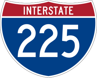
Interstate 225 (I-225) is an auxiliary Interstate Highway in the U.S. state of Colorado. The freeway is a 11.959-mile-long (19.246 km) connector spur route of I-25 that acts as an eastern bypass in the Denver metropolitan area and serves Aurora. It also provides direct access to Denver International Airport for the Denver Tech Center and the southern suburbs of Denver. I-225 is one of the two existing auxiliary Interstate Highways in Colorado and it is the only auxiliary route of I-25, as there are no auxiliary routes for I-25 in New Mexico and Wyoming. The route begins at I-25 in the Denver Tech Center and runs north to I-70 north of Aurora. It interchanges with State Highway 83 (SH 83), SH 30 and I-70 Business/US 40/US 287, known locally as Colfax Avenue. The freeway was first proposed in the 1950s along with the first Interstate Highways within Denver. Construction did not begin until 1964 at the I-70 interchange and proceeded south through Aurora until final completion in early 1976 with the final link to I-25 opening to traffic.

State Highway 97 is a 19.86-mile (31.96 km) state highway, maintained by the U.S. state of Oklahoma. It connects two towns in the northeast part of the state: Sapulpa and Sand Springs. Several communities of West Tulsa are along the road between these two towns, including Pretty Water, Allen, and Prattville.
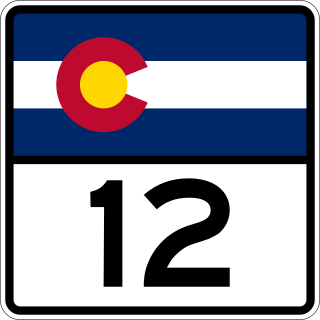
State Highway 12, also known as the Highway of Legends National Scenic Byway, in the U.S. state of Colorado is a mountainous state highway through the Rocky Mountains in southern Colorado. The route travels from La Veta through the mountains to Trinidad. It is included in the Colorado Scenic and Historic Byways system and runs through the San Isabel National Forest. In 2021, the highway was designated a National Scenic Byway.
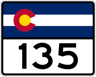
State Highway 135 (SH 135) is a 27.48-mile-long (44.22 km) state highway in the U.S. state of Colorado. SH 135's southern terminus is at U.S. Route 50 (US 50) in Gunnison, and the northern terminus is at 6th Street in Crested Butte. It is the primary connection between Crested Butte and the outside world and is the only paved road leading to Crested Butte.

State Highway 103 in the U.S. state of Colorado runs from Interstate 70 (I-70), U.S. Route 6 and US 40 at Idaho Springs to county roads 151 and 103 at Squaw Pass. The 13 miles (19 km) from Idaho Springs to SH 5 forms about half of the Mount Evans Scenic Byway.
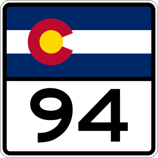
State Highway 94 is an 85.5-mile-long (137.6 km) east–west Colorado state highway that goes east beginning from US 24 just east of Colorado Springs and ending at U.S. Highway 40/U.S. Highway 287 in rural Cheyenne County west of Wild Horse. The highway serves Schriever Air Force Base and the towns of Ellicott, Yoder, and Rush, where it then crosses through rural country. It also serves the Punkin Center area where it comes to a junction with SH 71. It then passes through more very rural country until it reaches a stop at US 40/287 west of the unincorporated town of Wild Horse.

State Highway 159 is a 33.661-mile-long (54.172 km) state highway in far southern Colorado. SH 159's southern terminus is a continuation as New Mexico State Road 522 (NM 522) at the New Mexico state line, and the northern terminus is at U.S. Route 160 (US 160) near Fort Garland.

State Highway 112 (SH 112) is a 27.802-mile-long (44.743 km) state highway in southern Colorado. Built in 1916 and formally defined in 1922, the route begins at its western end in Del Norte at a junction with U.S. Highway 160 (US 160). From there the road travels east crossing US 285 two miles (3.2 km) west of Center before reaching its eastern terminus at Hooper where it meets SH 17.
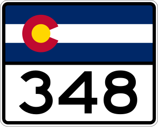
State Highway 348 (SH 348) is a 17.1-mile (27.5 km) state highway immediately southeast of Montrose and Delta counties in Colorado, United States that connects U.S. Route 50 (US 50) in Olathe US 50 in Delta.

State Route 162 (SR-162) is a state highway located in San Juan County, Utah, United States. It begins at US-191 east of Bluff. It then follows the former alignment of SR-163 to Montezuma Creek. There, it intersects UT-262 at its southern terminus. Afterwards, it follows SR-262's former alignment past Aneth to the Colorado state line. Colorado State Highway 41 takes over in the Centennial State, ending at a junction with US-160 6 miles east of the Four Corners Monument.
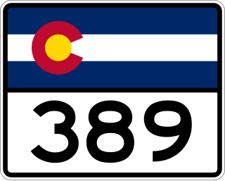
State Highway 389 is a 12.38-mile (19.92 km) state highway in Las Animas County, Colorado, United States, that connects New Mexico State Road 551 at the New Mexico state line with U.S. Route 160, north of Branson.
New Mexico State Road 17 (NM 17) is a 9.59-mile-long (15.43 km) state highway in Rio Arriba County, New Mexico. Its southern end is at US 64-84 in Chama and its northern end is at Colorado State Highway 17 at the Colorado state line.

State Highway 257 (SH 257) is an 18.478-mile (29.737 km) state highway in the Front Range in Weld County, Colorado, United States, connecting Colorado State Highway 60 (SH 60) in Milliken with Colorado State Highway 14 (SH 14) in northwestern Severance.

State Highway 57 (SH 57) is a short, 0.534-mile (0.859 km) state highway in Kit Carson County, Colorado, United States, that connects Interstate 70 (I‑70), south of Stratton with U.S. Route 24 (US 24) in Stratton.
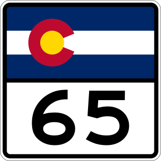
State Highway 65 (SH 65) is a state highway in Colorado that crosses the Grand Mesa. The highway along with a road to Lands End Overlook were designated as the Grand Mesa National Scenic Byway in 1996. SH 65's southern terminus is at SH 92 east of Delta, and its northern terminus is at Interstate 70 (I-70) and U.S. Route 6 (US 6) northeast of Palisade.

The West Elk Loop Scenic and Historic Byway is a 205-mile (330 km) National Forest Scenic Byway and Colorado Scenic and Historic Byway located in Delta, Garfield, Gunnison, Montrose, and Pitkin counties Colorado, USA. The byway reaches its zenith at Kebler Pass, elevation 10,007 feet (3,050 m), between Crested Butte and Paonia.

