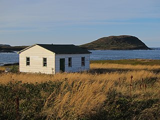
Charlottetown, Bonavista Bay is a local service district and designated place in the Canadian province of Newfoundland and Labrador. It is on the island of Newfoundland within Terra Nova National Park.
Petite Forte is a local service district and designated place in the Canadian province of Newfoundland and Labrador. It is on Placentia Bay and is connected by road via Route 215. Petite Forte is located on the Burin Peninsula which is on the southeast coast of the island of Newfoundland in the province of Newfoundland and Labrador. It fought attempts by the government in the 1960s to resettle. Petite Forte has a population of 69 according to the 2021 census.

Francois is a local service district and designated place in the Canadian province of Newfoundland and Labrador. It is located on the southern coast of Newfoundland on François Bay at the end of a small fjord. There is a general store, a post office and a small museum, accessed by concrete pathways and boardwalks. Most residents pronounce the name "Fran-sway", and its proper spelling is without the cedilla found in the French word françois.
Norman's Bay is a local service district and designated place in the Canadian province of Newfoundland and Labrador. It is an isolated community at the head of Norman Bay, an extension of Martin Bay. The population of the community was 15 in the 2021 census.
Wild Cove is a local service district and designated place in the Canadian province of Newfoundland and Labrador. It is on the Baie Verte Peninsula of the island of Newfoundland.
Bellevue is a local service district and designated place in the Canadian province of Newfoundland and Labrador.
Bellevue Beach is a local service district and designated place in the Canadian province of Newfoundland and Labrador.
Diamond Cove is a local service district and designated place in the Canadian province of Newfoundland and Labrador.
Forresters Point is a local service district and designated place in the Canadian province of Newfoundland and Labrador.
Marysvale is a local service district and designated place in the Canadian province of Newfoundland and Labrador.
North Harbour is a local service district and designated place in the Canadian province of Newfoundland and Labrador on St. Mary's Bay of the island of Newfoundland.
Piccadilly Head is a local service district and designated place in the Canadian province of Newfoundland and Labrador.
Pollard's Point is a local service district and designated place in the Canadian province of Newfoundland and Labrador.

South Dildo is a local service district and designated place in the Canadian province of Newfoundland and Labrador.
Thornlea is a local service district and designated place in the Canadian province of Newfoundland and Labrador.
Valley Pond is a local service district and designated place in the Canadian province of Newfoundland and Labrador.

Hay Cove is a local service district in the Canadian province of Newfoundland and Labrador.
Lethbridge and Area is a local service district (LSD) in the Canadian province of Newfoundland and Labrador.
Shoe Cove is a local service district in the Canadian province of Newfoundland and Labrador.


