Downsville, Maryland | |
|---|---|
 | |
 Downsville, Maryland  Downsville, Maryland | |
| Coordinates: 39°33′17″N77°48′06″W / 39.55472°N 77.80167°W | |
| Country | United States |
| State | Maryland |
| County | Washington |
| Area | |
• Total | 0.63 sq mi (1.62 km2) |
| • Land | 0.63 sq mi (1.62 km2) |
| • Water | 0 sq mi (0.00 km2) |
| Elevation | 466 ft (142 m) |
| Population (2020) | |
• Total | 341 |
| • Density | 545.8/sq mi (210.75/km2) |
| Time zone | UTC-5 (Eastern (EST)) |
| • Summer (DST) | UTC-4 (EDT) |
| Area codes | 301, 240 |
| GNIS feature ID | 2583609 [2] |
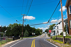
Downsville is an unincorporated community and census-designated place (CDP) in southwestern Washington County, Maryland, United States. Its population was 355 as of the 2010 census. [3] It is located southeast of Williamsport on Maryland Route 63 and on Maryland Route 632, southwest of Hagerstown. It is officially included in the Hagerstown Metropolitan Area (Hagerstown-Martinsburg, MD-WV Metropolitan Statistical Area).
