Dresden, Missouri | |
|---|---|
 | |
 Interactive map of Dresden, Missouri | |
| Coordinates: 38°45′04″N93°20′06″W / 38.75111°N 93.33500°W | |
| Country | United States |
| State | Missouri |
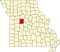
| County | Pettis |
| Elevation | 827 ft (252 m) |
| Time zone | UTC-6 (Central (CST)) |
| • Summer (DST) | UTC-5 (CDT) |
| GNIS feature ID | 717048 [1] |
Dresden (also Dresdon) is an unincorporated community in Pettis County, Missouri, United States.
