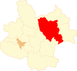
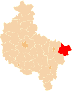
Bruki Unisławskie is a village in the administrative district of Gmina Unisław, within Chełmno County, Kuyavian-Pomeranian Voivodeship, in north-central Poland.

Polichna is a village in the administrative district of Gmina Szastarka, within Kraśnik County, Lublin Voivodeship, in eastern Poland. It lies approximately 4 kilometres (2 mi) south of Szastarka, 14 km (9 mi) south-east of Kraśnik, and 51 km (32 mi) south of the regional capital Lublin.
Wymysłówka is a village in the administrative district of Gmina Bełżyce, within Lublin County, Lublin Voivodeship, in eastern Poland.

Janinów is a village in the administrative district of Gmina Rokiciny, within Tomaszów Mazowiecki County, Łódź Voivodeship, in central Poland. It lies approximately 20 kilometres (12 mi) north-west of Tomaszów Mazowiecki and 30 km (19 mi) south-east of the regional capital Łódź.

Józefów is a village in the administrative district of Gmina Czastary, within Wieruszów County, Łódź Voivodeship, in central Poland. It lies approximately 3 kilometres (2 mi) north-east of Czastary, 14 km (9 mi) east of Wieruszów, and 97 km (60 mi) south-west of the regional capital Łódź.

Góry is a village in the administrative district of Gmina Sokolniki, within Wieruszów County, Łódź Voivodeship, in central Poland. It lies approximately 5 kilometres (3 mi) north-east of Sokolniki, 18 km (11 mi) east of Wieruszów, and 90 km (56 mi) south-west of the regional capital Łódź.
Stary Radzic is a village in the administrative district of Gmina Ludwin, within Łęczna County, Lublin Voivodeship, in eastern Poland.

Podlasie is a village in the administrative district of Gmina Żelechów, within Garwolin County, Masovian Voivodeship, in east-central Poland. It lies approximately 8 kilometres (5 mi) west of Żelechów, 15 km (9 mi) south-east of Garwolin, and 70 km (43 mi) south-east of Warsaw.
Giżyn is a village in the administrative district of Gmina Strzegowo, within Mława County, Masovian Voivodeship, in east-central Poland.
Tokary-Gajówka is a village in the administrative district of Gmina Korczew, within Siedlce County, Masovian Voivodeship, in east-central Poland.

Żarnowiec is a settlement in the administrative district of Gmina Dopiewo, within Poznań County, Greater Poland Voivodeship, in west-central Poland. It lies approximately 6 kilometres (4 mi) south-west of Dopiewo and 21 km (13 mi) west of the regional capital Poznań.
Chwałkowice is a village in the administrative district of Gmina Strzałkowo, within Słupca County, Greater Poland Voivodeship, in west-central Poland.
Chartów is a village in the administrative district of Gmina Słońsk, within Sulęcin County, Lubusz Voivodeship, in western Poland.

Jałowiec is a village in the administrative district of Gmina Ryjewo, within Kwidzyn County, Pomeranian Voivodeship, in northern Poland. It lies approximately 3 kilometres (2 mi) south-west of Ryjewo, 10 km (6 mi) north of Kwidzyn, and 64 km (40 mi) south of the regional capital Gdańsk.

Wilcze Błota is a village in the administrative district of Gmina Lubichowo, within Starogard County, Pomeranian Voivodeship, in northern Poland. It lies approximately 5 kilometres (3 mi) south of Lubichowo, 19 km (12 mi) south-west of Starogard Gdański, and 63 km (39 mi) south of the regional capital Gdańsk.

Mortąg is a village in the administrative district of Gmina Stary Dzierzgoń, within Sztum County, Pomeranian Voivodeship, in northern Poland. It lies approximately 3 kilometres (2 mi) south-east of Stary Dzierzgoń, 29 km (18 mi) east of Sztum, and 80 km (50 mi) south-east of the regional capital Gdańsk.

Nicponia is a village in the administrative district of Gmina Gniew, within Tczew County, Pomeranian Voivodeship, in northern Poland. It lies approximately 2 kilometres (1 mi) south-west of Gniew, 32 km (20 mi) south of Tczew, and 62 km (39 mi) south of the regional capital Gdańsk.

Różyn is a village in the administrative district of Gmina Lubomino, within Lidzbark County, Warmian-Masurian Voivodeship, in northern Poland. It lies approximately 17 kilometres (11 mi) west of Lidzbark Warmiński and 36 km (22 mi) north of the regional capital Olsztyn.

Macierz is a village in the administrative district of Gmina Moryń, within Gryfino County, West Pomeranian Voivodeship, in north-western Poland. It lies approximately 5 kilometres (3 mi) south-east of Moryń, 48 km (30 mi) south of Gryfino, and 67 km (42 mi) south of the regional capital Szczecin.

Holy Cross Church, Września - is a wooden church in the north-western part of Września, Poland, located in the Lipówka district, on Świętokrzyska street, next to the storage reservoir Wrześnica. The church is registered as a protected monument Greater Poland Voivodeship - No. 2293/A.


