Eugene, Florida | |
|---|---|
Unincorporated community | |
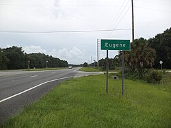 Sign along US 19-98 and ALT US 27 as they enter Eugene. | |
 Eugene, Florida | |
| Coordinates: 29°36′42″N83°05′16″W / 29.61167°N 83.08778°W | |
| Country | United States |
| State | Florida |
| County | Dixie |
| Elevation | 39 ft (12 m) |
| Time zone | UTC-5 (Eastern (EST)) |
| • Summer (DST) | UTC-4 (EDT) |
| Area code | 352 |
| GNIS feature ID | 294758 [1] |
Eugene is an unincorporated area in Dixie County, Florida. The Florida State Road Department rendered Eugene on a 1936 road map. [2] A 1967 state geology report noted Pamlico Dune near Eugene on U.S. Highway 27. [3] Eugene is south of Cross City and North of Old Town, Florida on U.S. Route 98 in Florida. The Nature Coast State Trail also passes by.
