European Geoparks Network

Last updated

The European Geoparks Network (EGN) functions as the regional organization of the Global Geoparks Network (GGN) and the UNESCO International Geosciences and Geoparks Programme (UNESCO-IGGP). Its main objective is to ensure cooperation between geoparks for the protection of geological heritage and the promotion of sustainable development of their territories in Europe. In 2020 January, the EGN had 75 institutional members (UNESCO Global Geoparks) from 26 European countries and there are several aspiring geopark projects, applying for a UNESCO label and therefore the permanent EGN membership.

Contents

History

The 1990s are widely considered as the birth of geoheritage as a dedicated domain of the geosciences, dealing with the preservation and valorisation of the Earth's abiotical heritage, its geodiversity. The idea of coordinated work on geology-focused territorial frameworks in Europe was discussed during the International Geological Congress in Beijing, 1997. After preparatory meetings in 1999, four European territories assembled in Lesvos, between 3–5 June 2000: [1]

They signed the convention on the establishment of the European Geoparks Label and the Network itself, with the intention of sharing information and expertise, as well as defining common tools.

On 20 April 2001, during the 3rd EGN Coordination Meeting, the Convention of Cooperation was signed between UNESCO Division of Earth Sciences and the EGN at Parc Cabo de Gata in Spain, defining the basis of the partnership between the two signatories.

In February 2004 the Global Geoparks Network (GGN) was founded in Paris by the members of EGN and the Chinese Geopark Network. The international partnership was developed under the umbrella of UNESCO and in October 2004 the Madonie Declaration was issued during the 5th Annual Meeting of EGN. It recognized the EGN as the official branch of the UNESCO – Global Geoparks Network in Europe. The declaration also underlines that EGN serves as a reference for the creation of similar continental networks of geoparks worldwide.

From March 2015 (35th European Geoparks Meeting, Paris, France), EGN continued as the regional geopark network of GGN. In November 2015, the 38th UNESCO General Conference adopted the International Geosciences and Geoparks Programme, officially approving the geopark concept to its framework and merging it with the existing International Geoscience Programme. The UNESCO Global Geopark label was created and all institutional members of EGN received it automatically.

Organization

The EGN operates under the auspices of the Statutes of the Global Geoparks Network, supplemented with the Rules of Operation of EGN, based on the Charter of EGN, signed in 2000. [2] Its headquarters are located in the Haute-Provence UNESCO Global Geopark in Digne-les-Bains, France.

The members of EGN consist of: [3]

National geoparks committees / forums

In several European countries, national geopark networks were founded after the decision of the Coordination Committee of EGN in 2007. [4] They function as the forums to enhance the cooperation of geoparks and the promotion of the geopark concept on a national level and taking over directly selected activities of EGN / GGN in a country.

As of 2020, the following national committees / forums exist.

Members

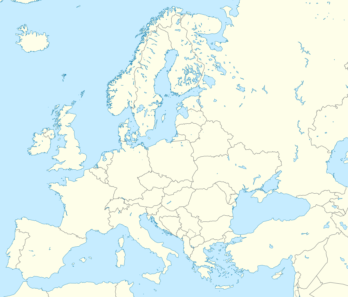
Europe blank laea location map.svg
Map pointer black.svg
Haute-Provence
Map pointer black.svg
Vulkaneifel
Map pointer black.svg
Lesvos Island
Map pointer black.svg
Psiloritis
Map pointer black.svg
TERRA.Vita
Map pointer black.svg
Copper Coast
Map pointer black.svg
Marble Arch Caves
Map pointer black.svg
Madonie
Map pointer black.svg
Rocca di Cerere
Map pointer black.svg
Steirische Eisenwurzen
Map pointer black.svg
Bergstrasse-Odenwald
Map pointer black.svg
North Pennines
Map pointer black.svg
Luberon
Map pointer black.svg
North-West Highlands
Map pointer black.svg
Swabian Albs
Map pointer black.svg
Harz - Braunschweiger Land - Ostfalen
Map pointer black.svg
Hateg Country Dinosaurs
Map pointer black.svg
Beigua
Map pointer black.svg
Fforest-Fawr
Map pointer black.svg
Bohemian Paradise
Map pointer black.svg
Cabo de Gata-Nijar
Map pointer black.svg
Naturtejo
Map pointer black.svg
Sierras Subbéticas
Map pointer black.svg
Sobrarbe-Pirineos
Map pointer black.svg
Gea Norvegica
Map pointer black.svg
Papuk
Map pointer black.svg
English Riviera
Map pointer black.svg
Adamello-Brenta
Map pointer black.svg
GeoMôn
Map pointer black.svg
Arouca
Map pointer black.svg
Shetland
Map pointer black.svg
Chelmos – Vouraikos
Map pointer black.svg
Novohrad-Nógrád
Map pointer black.svg
Magma
Map pointer black.svg
Basque Coast
Map pointer black.svg
Cilento e Vallo di Diano
Map pointer black.svg
Rokua
Map pointer black.svg
Tuscan Mining Park
Map pointer black.svg
Vikos-Aaaos
Map pointer black.svg
Muskau Arch
Map pointer black.svg
Sierra Norte de Sevilla
Map pointer black.svg
Burren and Cliffs of Moher
Map pointer black.svg
Katla
Map pointer black.svg
Massif des Bauges
Map pointer black.svg
Apuan Alps
Map pointer black.svg
Villuercas-Ibores-Jara
Map pointer black.svg
Chablais
Map pointer black.svg
Central Catalunya
Map pointer black.svg
Bakony-Balaton
Map pointer black.svg
Azores
Map pointer black.svg
Karavanke/Karawanken
Map pointer black.svg
Idrija
Map pointer black.svg
Hondsrug
Map pointer black.svg
Sesia - Val Grande
Map pointer black.svg
Kula
Map pointer black.svg
Molina and Alto Tajo
Map pointer black.svg
El Hierro
Map pointer black.svg
Monts d’Ardèche
Map pointer black.svg
Erz der Alpen
Map pointer black.svg
Odsherred
Map pointer black.svg
Terras de Cavaleiros
Map pointer black.svg
Lanzarote and Chinijo Islands
Map pointer black.svg
Reykjanes
Map pointer black.svg
Pollino
Map pointer black.svg
Sitia
Map pointer black.svg
Troodos
Map pointer black.svg
Causses du Quercy
Map pointer black.svg
Las Loras
Map pointer black.svg
Beaujolais
Map pointer black.svg
Famenne-Ardenne
Map pointer black.svg
Conca de Tremp–Montsec
Map pointer black.svg
Courel Mountain
Map pointer black.svg
Vis Archipelago
Map pointer black.svg
Trollfjell
European Geoparks Network
Situated outside the map: Azores, El Hierro, Lanzarote and Chinijo Islands

Former members

(at 18 April 2018):

Meetings and activities

The executive decisions and operative work of EGN take place within the half-year coordination meetings, hosted every spring and autumn by one of the institutional members. [5] The six-monthly coordination meetings of the autumn periods run parallel with the Annual Meetings (2000 – 2012) and European Geoparks Conferences, now organized every two years. These are open to non-institutional and non-individual EGN members as well, functioning as venues of scientific exchange and networking opportunity, related to the geoparks concept.

List of European Geoparks Conferences / Annual Meetings of EGN
ConferenceVenueDate
1st European Geoparks Annual MeetingMolinos – Teruel (Spain)October 2000
2nd European Geoparks Annual Meeting Petrified Forest Lesvos Island (Greece)October 2001
3rd European Geoparks Annual MeetingKamptal Geopark (Austria)October 2002
4th European Geoparks Annual MeetingPsiloritis Natural Park (Crete, Greece)October 2003
5th European Geoparks Annual Meeting Madonie Natural Park (Sicily, Italy)October 2004
6th European Geoparks Annual MeetingPetrified Forest Lesvos Island (Greece)October 2005
7th European Geoparks Annual Meeting Northwest Highlands Geopark (Scotland, United Kingdom)September 2007
8th European Geoparks ConferenceNaturtejo Geopark (Portugal)September 2009
9th European Geoparks ConferenceLesvos Petrified Forest Geopark (Greece)September 2010
10th European Geoparks ConferenceGea Norvegica Geopark (Norway)September 2011
11th European Geoparks ConferenceArouca Geopark (Portugal)September 2012
12th European Geoparks ConferenceCilento e Vallo di Diano Geopark (Italy)September 2013
13th European Geoparks Conference Rokua Geopark (Finland)September 2015
14th European Geoparks Conference Azores Geopark (Azores, Portugal)September 2017
15th European Geoparks ConferenceSierra Norte de Sevilla Geopark (Spain)September 2019

See also

Related Research Articles

Geopark

A geopark is a unified area that advances the protection and use of geological heritage in a sustainable way, and promotes the economic well-being of the people who live there. There are global geoparks and national geoparks.

International Union of Geological Sciences

The International Union of Geological Sciences (IUGS) is an international non-governmental organization devoted to international cooperation in the field of geology.

Sigri (village)

Sigri is a small fishing village near the western tip of Lesbos Island. Its name derives through Greek σίγουρος from the Venetian word siguro, meaning "safe", based on the fact that it has a safe harbour. Sigri has a Turkish castle, built in 1746 during the Ottoman occupation, which looks over the bay and the long island of Nissiopi, which stretches across the mouth of the bay and acts as a buffer to the prevailing winds. The port of Sigri is able to accommodate large vessels, even cruise ship-size ferry boats coming from the mainline. Almost all shipping to Lesbos, however, comes into the east of the island.

Geotourism Tourism associated with geological attractions and destinations

Geotourism is tourism associated with geological attractions and destinations. Geotourism deals with the abiotic natural and built environments. Geotourism was first defined in England by Thomas Alfred Hose in 1995.

The International Geoscience and Geoparks Programme (IGCP) is a cooperative enterprise of UNESCO and the International Union of Geological Sciences (IUGS).

Natural History Museum of the Lesvos Petrified Forest

The Natural History Museum of the Lesvos Petrified Forest is a geological museum located in the village of Sigri on the island of Lesbos in Greece. Established in 1994, it is a center for the study, management, and preservation of the petrified forest of Lesbos and for public education about the site. It is a founding member of the European Geoparks Network and is a member of UNESCO's Global Geoparks Network.

Madonie Mountain range in Sicily, Italy

The Madonie are one of the principal mountain ranges on the island of Sicily, located in the Northern part of the island.

Fforest Fawr Geopark

Fforest Fawr Geopark was the first Geopark to be designated in Wales having gained membership of both the European Geoparks Network and the UNESCO-assisted Global Network of National Geoparks in October 2005. The Geopark aims to promote and support sustainable tourism and other opportunities to improve the economy of the area whilst safeguarding the natural environment. Its aims largely coincide with the statutory duties and purpose of the National Park within which it sits.

Marble Arch Caves Global Geopark Lies on the Fermanagh-Cavan border, Ireland

The Marble Arch Caves Global Geopark straddles the border between Northern Ireland and the Republic of Ireland. It is centred on the Marble Arch Caves and in 2001 it became one of the first geoparks to be designated in Europe.

UNESCO Global Geoparks UN-designated outstanding geological sites and landscapes

The 195 Member States of UNESCO ratified the creation of a new label, the UNESCO Global Geoparks, on 17 November 2015. This expressed governmental recognition of the importance of managing outstanding geological sites and landscapes in a holistic manner. This new designation formalized UNESCO's relationship with the Global Geoparks Network (GGN), which received ad hoc support from UNESCO since 2001. The network was set up to conserve earth's geological heritage, as well as to promote the sustainable research and development by the concerned communities. The GGN membership is formed by geoparks—local areas focused on the protection of geological features and the celebration of that and the wider heritage.

Madonie Regional Natural Park

The Madonie Regional Natural Park is an Italian regional park located in Sicily, between Palermo and Cefalù and covers 39,972 acres.

The Novohrad – Nógrád Geopark (NNG), a geopark straddling the border between Hungary and Slovakia, is one of the first transnational geoparks in the world. It is a member of the UNESCO Global Geoparks Network and European Geoparks Network.

The derivation of the term geoheritage is from geological heritage. It is thus a heritage category comparable to other forms of natural heritage, such as biodiversity. Some geoheritage sites, or "geosites", are related to human activity such as mining, and can also be viewed in terms of cultural heritage.

The Asia Pacific Geoparks Network (APGN) is the regional geopark network of the Global Geoparks Network (GGN) and the UNESCO International Geosciences and Geoparks Programme (UNESCO-IGGP). Its main role is to coordinate the activities of GGN in the UNESCO regions of Asia and the Pacific, to promote networking between global geoparks and geopark professionals in the region and to provide support for sustainable economic development in geopark areas. As of 2020 February, the APGN had 60 institutional members in countries. The Pacific region is currently not represented by a global geopark, but there are ongoing geopark projects, just as in other countries of Asia.
The Basque Coast Geopark, formally the Basque Coast UNESCO Global Geopark, is an area of the Basque Country in the north of Spain which became a member of the European Geoparks Network in 2010, one of several Global Geoparks in Spain. It comprises 89 square kilometres of countryside with a 23km long cliffed coast fronting the Bay of Biscay. Inland it comprises hilly country which reaches up to Sesiarte which is 755m above sea level. The main communities within the Geopark are Zumaia, Deba and Mutriku. The A8 Cantabrian motorway runs east-west through the Geopark.

References

  1. "History". www.europeangeoparks.org. Retrieved 2020-02-13.
  2. "Rules of operation". www.europeangeoparks.org. Retrieved 2020-02-13.
  3. "Structure of the European Geoparks Network". www.europeangeoparks.org. Retrieved 2020-02-13.
  4. "National Geoparks Fora". www.europeangeoparks.org. Retrieved 2020-02-05.
  5. "Meetings". www.europeangeoparks.org. Retrieved 2020-02-13.