Fairview Alpha | |
|---|---|
 Fairview Alpha  Fairview Alpha  Fairview Alpha | |
| Coordinates: 31°58′16″N93°11′12″W / 31.97111°N 93.18667°W [1] | |
| Country | United States |
| State | Louisiana |
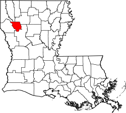
| Parish | Natchitoches, Red River |
| Time zone | UTC-6 (Central (CST)) |
| • Summer (DST) | UTC-5 (CDT) |
| Area code | 318 |
| GNIS feature ID | 541142 [1] |
Fairview Alpha is an unincorporated community in Natchitoches and Red River parishes in the U.S. state of Louisiana. At one time, it was known as Messick and Alpha.