La Haute-Côte-Nord is a regional county municipality in northeastern Quebec, Canada, in the Côte-Nord region. It is located on the Gulf of Saint Lawrence where the Saguenay River flows into it. The seat is Les Escoumins. The municipality has a land area of 11,612.68 square kilometres (4,483.68 sq mi) and its population was 10,846 inhabitants as of the 2016 census. Its largest community is the city of Forestville.

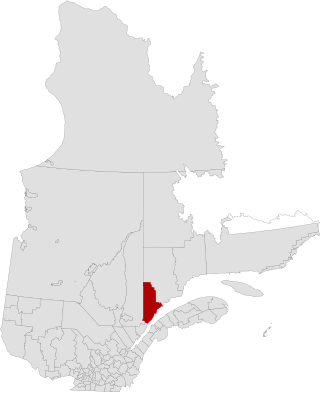
Le Fjord-du-Saguenay is a regional county municipality in the Saguenay-Lac-Saint-Jean region of Quebec, Canada. Its seat is Saint-Honoré, which is also its most populous municipality.
Petit-Saguenay is a municipality in the Canadian province of Quebec, located in Le Fjord-du-Saguenay Regional County Municipality. The municipality, located on Route 170 near L'Anse-Saint-Jean, had a population of 727 in the Canada 2011 Census, which dropped to 634 in the 2016 census.

Route 381 is a provincial highway located in the Capitale-Nationale and Saguenay–Lac-Saint-Jean regions of Quebec. It runs from Baie-Saint-Paul at the junction of Route 138 and ends in the La Baie sector of the City of Saguenay at the junction of Route 170.

Rivière-Éternité is a municipality, being part of Le Fjord-du-Saguenay Regional County Municipality, located in the administrative region of Saguenay–Lac-Saint-Jean, in Quebec, Canada.

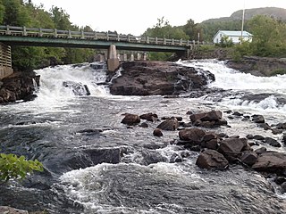
The Ha! Ha! River is a watercourse in Saguenay–Lac-Saint-Jean, Quebec, Canada.
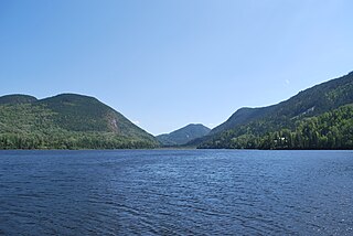
Lake Ha! Ha! is a waterbody tributary of the Ha! Ha! River. It is located in the municipality of Ferland-et-Boilleau, Quebec, in the Le Fjord-du-Saguenay Regional County Municipality (MRC), in administrative region of Saguenay-Lac-Saint-Jean, in Quebec, located in the Saguenay River valley, in Canada.
Petit lac Ha! Ha! is a freshwater lake in the Ferland-et Boilleau municipality, in the administrative region of Saguenay-Lac-Saint-Jean, in the province of Quebec, in Canada. It is located on the east side of Lake Ha! Ha! into which it drains.
The Brébeuf Lake is a body of water tributary of the Saint-Jean River. It is in the municipality of Rivière-Éternité, Quebec, Canada.
The Lac Desprez is a fresh body of water in the watershed of ruisseau à John and Malbaie River. This body of water is located in the unorganized territory of Lalemant, in the Le Fjord-du-Saguenay Regional County Municipality, in the administrative region of Saguenay–Lac-Saint-Jean, in the province of Quebec, in Canada.
The Rivière Pierre is a tributary of Brébeuf Lake, flowing in the municipality of Ferland-et-Boilleau and ivière-Éternité, in the Fjord-du-Saguenay, in the administrative region of Saguenay-Lac-Saint-Jean, in the province of Quebec, in Canada. The lower part of the Pierre river valley is integrated into the zec du Lac-Brébeuf.
The Bras de Ross is a tributary of Brébeuf Lake, flowing in the municipality of Ferland-et-Boilleau and Rivière-Éternité, in the Le Fjord-du-Saguenay Regional County Municipality, in the administrative region of Saguenay–Lac-Saint-Jean, in the province of Quebec, in Canada. The lower part of the Ross Valley is integrated into the zec du Lac-Bébeuf.
The "Lac des Cèdres" is the head of the Rivière des Cèdres, in the watershed of Ha! Ha! River And Saguenay River. This body of water straddles the municipality of Ferland-et-Boilleau and Saint-Félix-d'Otis, in the Fjord-du-Saguenay, in the administrative region of Saguenay–Lac-Saint-Jean, in province of Quebec, in Canada.

The Rivière des Cèdres is a tributary of the Ha! Ha! River, flowing in the municipality of Ferland-et-Boilleau, in the Le Fjord-du-Saguenay Regional County Municipality, in the administrative region of Saguenay-Lac-Saint-Jean, in the province, in Quebec, in Canada.
The lac Huard is a body of water crossed by the Huard River, in the catchment area of the Ha! Ha! River and Saguenay River. This body of water is located in the municipality of Ferland-et-Boilleau, in the Le Fjord-du-Saguenay Regional County Municipality, in the administrative region of Saguenay–Lac-Saint-Jean, in the province of Quebec, in Canada.
The Huard River is a tributary of the Ha! Ha! River, Flowing in the municipality of Ferland-et-Boilleau, in the Le Fjord-du-Saguenay Regional County Municipality, in the administrative region of Saguenay-Lac-Saint-Jean, in the province of Quebec, in Canada.
The rivière à Pierre is a stream flowing in Quebec, in Canada. It crosses the administrative regions of:
The Bras d'Hamel is a stream flowing in the municipality of Ferland-et-Boilleau and in the city of Saguenay (city), in the administrative region of Saguenay-Lac-Saint-Jean, in the province of Quebec, in Canada.
The Bras Rocheux is a tributary of the Bras d'Hamel, flowing in the administrative region of Saguenay–Lac-Saint-Jean, in the province of Quebec, in Canada. The course of the river successively crosses:
The arm of the Coco is a tributary of the rivière à Mars, flowing in the unorganized territory of Lac-Ministuk, in the Le Fjord-du-Saguenay Regional County Municipality, in the administrative region of Saguenay–Lac-Saint-Jean, in the province of Quebec, in Canada.


