References
Municipalities and communities of Stone County, Arkansas, United States | ||
|---|---|---|
| Cities | 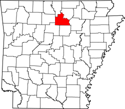 | |
| CDPs | ||
| Other unincorporated communities | ||
| Ghost town | ||
35°49′09″N92°23′40″W / 35.81917°N 92.39444°W
| | This article about a location in Stone County, Arkansas is a stub. You can help Wikipedia by expanding it. |