Franklin Township | |
|---|---|
 | |
| Coordinates: 40°15′53″N85°03′21″W / 40.26472°N 85.05583°W | |
| Country | United States |
| State | Indiana |
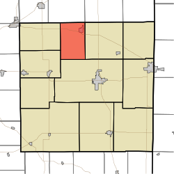
| County | Randolph |
| Government | |
| • Type | Indiana township |
| Area | |
• Total | 24 sq mi (62 km2) |
| • Land | 23.93 sq mi (62.0 km2) |
| • Water | 0.07 sq mi (0.18 km2) |
| Elevation | 978 ft (298 m) |
| Population | |
• Total | 1,124 |
| • Density | 46.97/sq mi (18.14/km2) |
| Time zone | UTC-5 (Eastern (EST)) |
| • Summer (DST) | UTC-4 (EDT) |
| Area code | 765 |
| FIPS code | 18-25594 [3] |
| GNIS feature ID | 453313 |
Franklin Township is one of eleven townships in Randolph County, Indiana. As of the 2020 census, its population was 1,124 (down from 1,265 at 2010 [4] ) and it contained 540 housing units.
