Vélez is a town and municipality of the Santander Department in northeastern Colombia.

Pailitas is a town and municipality in the Colombian Department of Cesar.

Río de Oro is a town and municipality in the Colombian Department of Cesar.

San Diego is a town and municipality in the Colombian Department of Cesar. It was founded on 19 July 1609.

Pivijay is a town and municipality of the Colombian Department of Magdalena. Founded in 1774 by José Flores, Julian Valera y Antonio Sánchez. Promoted to municipality in 1912.

Pinillos is a town and municipality located in the Bolívar Department, northern Colombia.
La Esperanza is a Colombian municipality and town located in the department of North Santander.
San Calixto is a Colombian municipality located in the department of Norte de Santander.
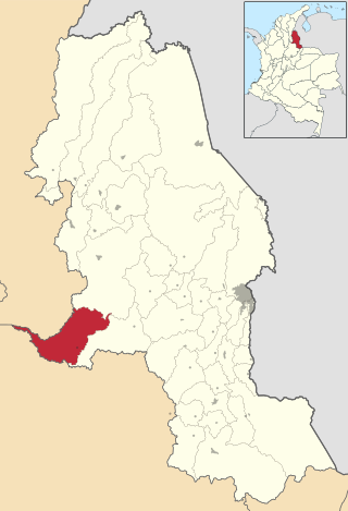
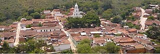
Bolívar is a town and municipality in the Santander Department in northeastern Colombia.
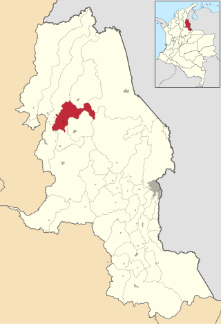
El Guacamayo is a town and municipality in the Santander Department in northeastern Colombia.
Los Santos is a town and municipality in the Santander Department in northeastern Colombia.

Hato Corozal is a town and municipality in the Department of Casanare, Colombia.

Aguadas is a town and municipality in the Colombian department of Caldas. It is bordered to the north by Abejorral, to the east by Sonsón, to the southeast by Salamina, to the south by Pacora, to the west by Caramanta and Valparaiso, and to the northwest by La Pintada. The municipality of Aguadas, located in the northern part of the department, was founded in 1808 by José Narciso Estrada. In addition to the fame of Aguadeño hats, which are very similar to palm-straw Panama hats. Aguadas offers visitors its historic center, which was declared a national monument in 1982. It has a temperate climate thanks to the variety of climates ranging from warm to moor.

Supía is a town and municipality in the Colombian Department of Caldas. Located along the Colombian coffee growing axis, it was part of the "Coffee Cultural Landscape" UNESCO World Heritage Site in 2011.

Restrepo is a town and municipality in the Meta Department, Colombia.

San Martín is a town and municipality in the Meta Department, Colombia.

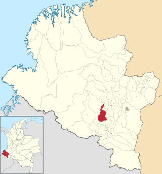
Policarpa is a town and municipality in the Nariño Department, Colombia.

Sandona is a town and municipality in Nariño Department, Colombia.
Túquerres is a town and municipality in the Nariño Department, Colombia.

Notre-Dame-de-Grâce—Westmount is a federal electoral district in Quebec. It encompasses areas formerly included in the electoral districts of Notre-Dame-de-Grâce—Lachine (40%), Westmount—Ville-Marie (59%) and Outremont (1%).