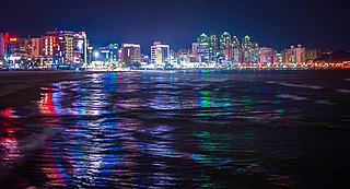
Pohang, formerly spelled Po-Hang, is the largest city in North Gyeongsang Province, South Korea, with a population of 499,363 as of 2022, bordering the Sea of Japan to the east, Yeongcheon to the west, Gyeongju to the south, and Cheongsong and Yeongdeok to the north.

Damyang County (Damyang-gun) is a county in Jeollanam-do, South Korea. Tourism is a major local industry. Notable local products include bamboo goods and strawberries.
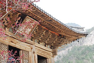
Buan County is a county in Jeonbuk State, South Korea. It is bounded by the city of Jeongeup on the east, the county of Gochang on the south, the city of Gimje on the north, and Yellow Sea on the west. Buan is divided into 1 eup, 12 myeon, and 510 ri. Buan had a 2001 estimated population of 74,716 people and a 2018 population of 54,441 people with an area of 493.35 km2. Famous people from Buan include Joseon Dynasty kisaeng and poet, Yi Mae-chang. Like many rural areas in southern Korea, it has seen shrinking population with many younger people moving north to larger cities such as Seoul. This county should not be confused with Muan, the new capital of South Jeolla Province.

Muju County (Muju-gun), is a county in North Jeolla Province (Jeollabuk-do), South Korea. Muju is known for its Muju Firefly Festival and is a tourist area.

South Korea is made up of 22 first-tier administrative divisions: 6 metropolitan cities, 1 special city, 1 special self-governing city, and 14 provinces, including three special self-governing provinces and five claimed by the ROK government. These are further subdivided into a variety of smaller entities, including cities, counties, districts, towns, townships, neighborhoods and villages.
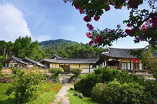
Nonsan is a city in South Chungcheong Province, South Korea. It is located at 36°12′N127°5′E. The origin of Nonsan's geographical names is said to have come from the small garden " Nolmoe, " which rises in the middle of farming fields, where rice paddies and mountain are said to reflect geographical features. The city belongs to the Daejeon Metropolitan Area.

Seocheon County is a county in Chungcheongnam-do, South Korea. It is famous for its seafood and location near the mouth of the Geum River.

Mungyeong is a city in North Gyeongsang Province, South Korea. The local government, economy, and transportation networks are all centered in Jeomchon, the principal town. Mungyeong has a lengthy history, and is known today for its various historic and scenic tourist attractions. The city's name means roughly "hearing good news." Recently, development has been somewhat stagnant with the decline of the coal industry. Since the 1990s, the proportion of people who rely on the tourism industry through Mungyeong Saejae has gradually increased.
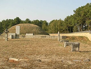
Sangju is a city in North Gyeongsang Province, central South Korea. Although Sangju is rather rural, it is very old and was once a key city. Along with Gyeongju, it gives rise to half of the name of the Gyeongsang provinces. Sangju is nicknamed Sam Baek, or "Three Whites", referring to three prominent agricultural products rice, silkworm cocoons, and dried persimmons from the area.

Cheongdo County (Cheongdo-gun) is a county in North Gyeongsang Province, South Korea. It is connected to the national transportation grid by the Gyeongbu Line railroad and the Daegu-Busan Expressway. The seat of government is located in the center of the county, in Hwayang-eup.

Uljin County is a county in North Gyeongsang Province, South Korea. Before 1963, Uljin was in Gangwon Province.

Miryang, formerly also spelled as 推火郡, Milbeol (密伐) and Milseong (密城), is a city in Gyeongsangnam-do Province, South Korea. Its name is originated from the tribal country named Miri midong guk (彌離彌凍國). There are various hypotheses as to the meaning of Miryang, such as Milky Way, Galaxy, dragon's field, Wheat Field and the watery field. Neighboring cities include Changnyeong to the west, Cheongdo to the north, Ulsan to the east, and Yangsan, Gimhae, and Changwon to the south. The city bird is the Korean magpie, the city tree is the pine, and the city flower is the royal azalea.
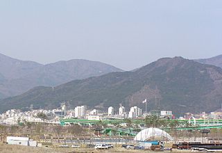
Yangsan is a city in Gyeongsangnam-do Province, South Korea.
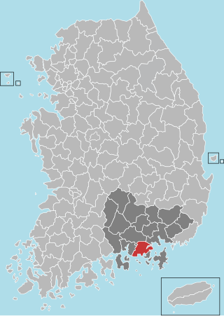
Goseong County (Goseong-gun) is a county in South Gyeongsang Province, South Korea
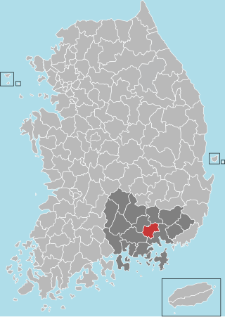
Haman County (Haman-gun) is a county in South Gyeongsang Province, South Korea. The local government is seated in the town of Gaya-eup. The county magistrate is Seok Gyu Jin.
The primary subdivisions of Gyeongju in South Korea consist of 4 eup, 8 myeon, and 11 dong. These units are the same into which all of the cities and counties of South Korea are divided. The dong units occupy the area of the city center, which was formerly occupied by Gyeongju-eup. Eup refers to a substantial village, whereas the myeon are more rural. The current divisions are as follows, using the numbers given on the map:

The National Institute of Fisheries Science , is a scientific body operated by the South Korean government, under the authority of the Ministry for Food, Agriculture, Forestry and Fisheries. It was first established in 1921. Subsidiary institutes operate in each of the major Korean fisheries.

Haedong Yonggung Temple is a Buddhist temple in Gijang-gun, Busan, South Korea.

Ulju County is a county occupying much of western Ulsan, South Korea.

Jwacheon Station is a railway station of the Donghae Line in Jangan-eup, Gijang County, Busan, South Korea. The station is unrelated to the station of the same name of Busan Metro.


