
Goldfield is an unincorporated small desert city and the county seat of Esmeralda County, Nevada.

Lida, Nevada is a small ghost town in Esmeralda County, Nevada, near the border with California. The GNIS classifies it as a populated place. It is located on State Route 266, north of Magruder Mountain.
Warm Springs is a former town in the Tonopah Basin in Nye County, Nevada, near the mountain pass which divides the Kawich and Hot Creek ranges. It is located at the junction of U.S. Route 6 and State Route 375, around 50 miles east of Tonopah. Only two abandoned buildings remain.

Belmont is a ghost town in Nye County, Nevada, United States along former State Route 82. The town is a historic district listed in the National Register of Historic Places. It is Nevada Historical Marker number 138.

The Big Smoky Valley is a landform of the Tonopah Basin between the Toiyabe and Toquima mountain ranges. It is about 100 miles (160 km) in length.

Dyer is an unincorporated town, located in Fish Lake Valley, Esmeralda County, Nevada, United States. It had a population of 324 as of the 2018 American Community Survey. The town serves the surrounding area's sparse rural population of mainly ranchers and indigenous Paiute people. The town has a gas station/store, cafe, post office and airport.

Silver Peak is an unincorporated community and census-designated place (CDP) in Esmeralda County, Nevada, United States. It lies along State Route 265, 20 miles (32 km) south of U.S. Route 6 and 30 miles (48 km) west of Goldfield, the county seat of Esmeralda County. It has a post office, with the ZIP code of 89047. The population of Silver Peak was 142 as of 2019.
Blair, Nevada is a mining ghost town in Esmeralda County, Nevada.

Millers is a ghost town located in Esmeralda County, Nevada. Deserted today, Millers sprang up as a mining boomtown after the Tonopah boom began. A highway rest-stop is located there, resulting in Millers still being listed on many travel maps.

Carrara is a ghost town in Nye County, Nevada. The townsite is located in the Amargosa Desert adjacent to US Route 95 about 8.5 miles southeast of Beatty. The old Tonopah and Tidewater Railroad line was about one half mile to the southwest. An old road, previously a railroad grade, runs straight for about 3 miles to the northeast up Carrara Canyon on the southeast flank of the Bare Mountains to an old marble quarry. The quarry is about 1400 feet higher in elevation than the townsite.
Thorne, Nevada is a rail junction and former town located in Mineral County, Nevada.
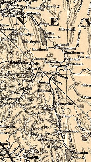
Basalt is a formerly populated place located in Mineral County, Nevada.
White Rock is an extinct town in Elko County, in the U.S. state of Nevada.
Arlemont is an extinct town in Esmeralda County, in the U.S. state of Nevada.
Blair Junction is the neglected site of a formerly populated settlement in Esmeralda County, in the U.S. state of Nevada.
Sweetwater is an extinct town in Lyon County, in the U.S. state of Nevada.

McLeans is a ghost town located in Esmeralda County, Nevada and former station on the Tonopah and Goldfield Railroad east of Blair Junction and west of Millers.
Alkali is a ghost town located in Esmeralda County, Nevada. Alkali is the site of Alkali Hot Spring, which was operated as a spa by Geni and Joe Guisti in the 1930s. During Goldfield's peak, the site included an indoor wooden swimming pool with a separate area for children and a large building containing a dining room, kitchen, dance hall and bar. In front of the dining room were tall tamarisk trees and a large picnic table where visitors could either order from the dining room or bring their own lunches. The Guisti residence was at the rear of the dining room. Geni Guisti served young folks grape juice over ice at the bar, which was considered a real treat. Friday and Saturday night dances were attended by Tonopah residents.

Grantsville is a former town in Nye County, Nevada.


