Gmina Rędziny is a rural gmina in Częstochowa County, Silesian Voivodeship, in southern Poland. Its seat is the village of Rędziny, which lies approximately 10 kilometres (6 mi) north-east of Częstochowa and 70 km (43 mi) north of the regional capital Katowice.
Barnowiec is a village in the administrative district of Gmina Kołczygłowy, within Bytów County, Pomeranian Voivodeship, in northern Poland. It lies approximately 3 kilometres (2 mi) south of Kołczygłowy, 20 km (12 mi) north-west of Bytów, and 93 km (58 mi) west of the regional capital Gdańsk.

Błoniec is a village in the administrative district of Gmina Busko-Zdrój, within Busko County, Świętokrzyskie Voivodeship, in south-central Poland.
Czysta is a village in the administrative district of Gmina Końskie, within Końskie County, Świętokrzyskie Voivodeship, in south-central Poland.
Drzenkowice is a village in the administrative district of Gmina Ćmielów, within Ostrowiec County, Świętokrzyskie Voivodeship, in south-central Poland. It lies approximately 5 kilometres (3 mi) south-west of Ćmielów, 9 km (6 mi) south-east of Ostrowiec Świętokrzyski, and 60 km (37 mi) east of the regional capital Kielce.
Jeżów is a village in the administrative district of Gmina Waśniów, within Ostrowiec County, Świętokrzyskie Voivodeship, in south-central Poland. It lies approximately 4 kilometres (2 mi) south of Waśniów, 16 km (10 mi) south-west of Ostrowiec Świętokrzyski, and 43 km (27 mi) east of the regional capital Kielce.

Rędziny is a village in Częstochowa County, Silesian Voivodeship, in southern Poland. It is the seat of the gmina called Gmina Rędziny. It lies approximately 10 kilometres (6 mi) north-east of Częstochowa and 70 km (43 mi) north of the regional capital Katowice.
Brzozówka is a village in the administrative district of Gmina Stary Targ, within Sztum County, Pomeranian Voivodeship, in northern Poland. It lies approximately 5 kilometres (3 mi) north-east of Stary Targ, 13 km (8 mi) east of Sztum, and 60 km (37 mi) south-east of the regional capital Gdańsk.
Guzki is a village in the administrative district of Gmina Ełk, within Ełk County, Warmian-Masurian Voivodeship, in northern Poland.
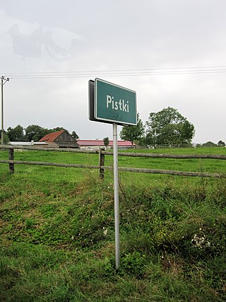
Pistki is a village in the administrative district of Gmina Ełk, within Ełk County, Warmian-Masurian Voivodeship, in northern Poland.
View Lake is a small village located in Ontario, Canada. It is situated on the boundary of the Regional Municipality of Durham and the city of Kawartha Lakes, on the southern shores of Lake Scugog. The village was unincorporated in Victoria County prior to the formation of the city of Kawartha Lakes in 2001, and continues to have a very small population. It contains two small parks, and in the past, contained a train stop near its general store.
Stoisław is a village in the administrative district of Gmina Będzino, within Koszalin County, West Pomeranian Voivodeship, in north-western Poland. It lies approximately 6 kilometres (4 mi) east of Będzino, 8 km (5 mi) north-west of Koszalin, and 133 km (83 mi) north-east of the regional capital Szczecin.
Drešnica is a village in the municipality of Blace, Serbia. According to the 2002 census, the village has a population of 102 people.
Luiste is a village in Märjamaa Parish, Rapla County in western Estonia.

Villanueva Mesía is a municipality in the province of Granada, Spain. In 2010, it had a population of 2158 inhabitants.
Rader is an unincorporated community in the northeast corner of Webster County, in the Ozarks of southwest Missouri. The community is located on Missouri Route ZZ between Conway to the northwest and Grovespring to the southeast. Rader is on the southern floodplain of the Osage Fork Gasconade River.

