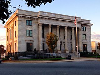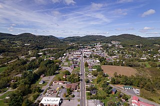
Rutherford County is a county in the southwestern area of the U.S. state of North Carolina. As of the 2020 census, the population was 64,444. Its county seat is Rutherfordton. Rutherford County comprises the Forest City, NC Micropolitan Statistical Area.

Catawba County is a county in the U.S. state of North Carolina. As of the 2020 census, the population was 160,610. Its county seat is Newton, and its largest community is Hickory.

Camden County is a consolidated city-county located in the U.S. state of North Carolina. As of the 2020 census, the population was 10,355, making it the fourth-least populous county in North Carolina. Its county seat is Camden. Camden County is included in the Virginia Beach-Chesapeake, VA-NC Combined Statistical Area.

Elon is a town in Alamance County, North Carolina, United States. It is part of the Burlington metropolitan statistical area. The population as of the 2020 census was 11,324. The town of Elon is home to Elon University.

Graham is a city and the county seat of Alamance County, North Carolina, United States. It is part of the Burlington, North Carolina Metropolitan Statistical Area. As of the 2020 census the population was 17,153.

Sparta is a town and the county seat of Alleghany County, North Carolina, United States. As of the 2020 census, the population of the town was 1,834.

Jefferson is a town in and the county seat of Ashe County, North Carolina, United States. The population was 1,622 at the 2020 U.S. census.

Harrisburg is a town in Cabarrus County, North Carolina, United States. It is a northeastern suburb of Charlotte. In the 2020 census, the population was 18,967.

Butner is a town in Granville County, North Carolina, United States. The population was 8,397 as of the 2020 census. Butner was managed by the state of North Carolina from 1947 through 2007.

Nashville is a town in Nash County, North Carolina, United States. The town was founded in 1780 and features Victorian and Queen Anne style homes. It is part of the Rocky Mount, North Carolina Metropolitan Statistical Area. The population of Nashville was 5,632 in 2020. It is the county seat of Nash County.

Indian Trail is a suburban town in Union County, North Carolina, United States. A part of the Charlotte metropolitan area, Indian Trail has grown rapidly in the 21st century, going from 1,942 residents in 1990 to 39,997 in 2020.

Henderson is a city and the county seat of Vance County, North Carolina, United States. The population was 15,060 at the 2020 census.

Rolesville is a town in northeastern Wake County, North Carolina, United States, a suburb of the capital city of Raleigh. It is the second oldest town in Wake County. The population was 9,475 at the 2020 census.

Henrietta is a city in and the county seat of Clay County, Texas, United States. It is part of the Wichita Falls metropolitan statistical area. The population was 3,111 at the 2020 census, a decline of 30 from the 2010 tabulation of 3,141.
Tigerville is an unincorporated community and census-designated place in Greenville County, South Carolina, United States. As of the 2010 United States Census the population was 1,312. It lies 12 miles (19 km) north of Taylors, 10 miles (16 km) northeast of Travelers Rest, and 14 miles (23 km) northwest of Greer. North Greenville University, a private institution of higher education affiliated with the Southern Baptist Convention, and whose baseball team won the national NCAA Division II baseball tournament in 2022, is located in Tigerville. The community is part of the Greenville–Mauldin–Easley Metropolitan Statistical Area.

Camden is an unincorporated community and census-designated place in Camden County, North Carolina, United States. It is the county seat of Camden County, a consolidated city-county. As of the 2010 census, the Camden town had a population of 599.
Demographics of North Carolina covers the varieties of ethnic groups who reside in North Carolina and relevant trends.

The U.S. state of South Carolina is located in the Southern United States. It is the 23rd largest state by population, with a population of 5,118,425 according to 2020 United States Census estimates.
Caroleen is an unincorporated community and census-designated place (CDP) in southeastern Rutherford County, North Carolina, United States. Its population was 560 as of the 2020 census. Caroleen has a post office with ZIP code 28019. U.S. Route 221 Alternate passes through the community.
Cliffside is an unincorporated community and census-designated place (CDP) in southeastern Rutherford County, North Carolina, United States. Its population was 530 as of the 2020 census. Cliffside has a post office with ZIP code 28024. U.S. Route 221 Alternate and North Carolina Highway 120 pass through the community.


