
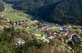
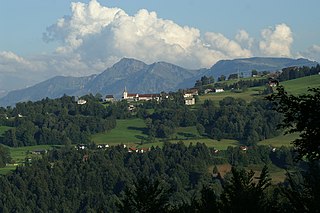
Alberschwende is a municipality and a village in the district of Bregenz in the Austrian state of Vorarlberg.
Muggendorf is a municipality in the district of Wiener Neustadt-Land in the Austrian state of Lower Austria.

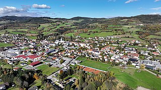
Weiz is a town in the eastern part of the Austrian state of Styria.

Satteins is a town in the Austrian state of Vorarlberg.
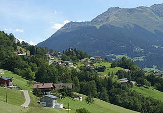
Bartholomäberg is a municipality and a village in the district of Bludenz in the Austrian state of Vorarlberg.

Lassee is a town in the district of Gänserndorf in the Austrian state of Lower Austria.

Hürm is a town in the district of Melk in the Austrian state of Lower Austria.
Pöggstall is a town in the district of Melk in the Austrian state of Lower Austria.

Herzogenburg is a town in the district of Sankt Pölten-Land in the Austrian state of Lower Austria.

Wölbling is a municipality in the district of Sankt Pölten-Land in the Austrian state of Lower Austria.

Bludesch is a municipality in the district of Bludenz in the Austrian state of Vorarlberg.

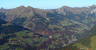
Bürserberg is a municipality in Austria in Vorarlberg in the Bludenz district with 549 inhabitants.

Raggal is a municipality in the district of Bludenz in the Austrian state of Vorarlberg.

Sankt Gallenkirch is a municipality in the district of Bludenz in the Austrian state of Vorarlberg.
Sonntag is a municipality in the district of Bludenz in the Austrian state of Vorarlberg.
Buch is a municipality in the district of Bregenz in the Austrian state of Vorarlberg.
Gaißau is a municipality in the district of Bregenz in the Austrian state of Vorarlberg.

Höchst is a municipality in the district of Bregenz in the Austrian state of Vorarlberg.

Koblach is a municipality in the district of Feldkirch in the Austrian state of Vorarlberg.
Altschwendt is a municipality in the district of Schärding in the Austrian state of Upper Austria.


