
Manjeshwar is a town and a minor port in Kasaragod district at the northern tip of Kerala. It is situated at a distance of 584 kilometres (360 mi) from the state capital Thiruvananthapuram, 28 kilometres (20 mi) north of district HQ Kasaragod and 30 kilometres (20 mi) south of Mangalore city in neighbouring Karnataka. It is a coastal town in Kasaragod district.
Bangramanjeshwar (Bangramanjeshwaram) is a census town in Kasaragod district in the state of Kerala, India.
Kuttikole is a village and Grama Panchayat in the Kasaragod district in the Indian state of Kerala.
Kadannapalli is a census town in Kannur district of Kerala state, India.
Adhur is a village in Kasaragod district in the state of Kerala, India.

Badiyadka officially known as "Badiadka" is a town and gram panchayat in the Kasaragod district, state of Kerala, India.

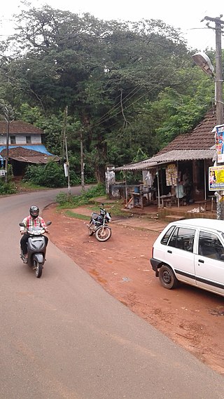
Bandadka is a small town in Kasaragod district in the state of Kerala, India. It is also called as Kottakal because of Bandadka Fort. It comes under Kuttikole Grama Panchayat. It is located 38 km (24 mi) towards east from District headquarters Kasaragod, 568 km (353 mi) away from State capital Thiruvananthapuram, 5 km (3.1 mi) west of Karnataka border and 20 km (12 mi) away from Sullia. Bandadka Pin code is 671541 and postal head office is Chengala.

Delampady is a village and Grama Panchayat in Kasaragod district in the state of Kerala, India.

Karadka is a village, block panchayat and grama panchayat in Kasaragod district in the state of Kerala, India.
Karindalam is a village in Kasaragod district in the state of Kerala, India.

Kunjathur is a census town in Kasaragod district in the state of Kerala, India. It is 22 km (14 mi) south of Mangalore.

Paivalike is a village in Kasaragod district in the state of Kerala, India. Paivalike is 11 km (6.8 mi) east of Uppala town and 40 km (25 mi) south of Mangalore city.
Kasaragod or Casrod a taluk which along with Hosdurg taluk, Manjeshwaram Taluk and Vellarikundu taluk constitute the Kasaragod district, Kerala, India. Its educational center is Vidyanagar. The major areas include Kasaragod municipality, Chemnad, Bedira, and Chengala. The Central Plantation Crops Research Institute is located in the taluk.
Pallikkara is a census town and a grama panchayat in Hosdurg Taluk of Kasargod district in the state of Kerala, India. This place was once famous for its Tobacco plants until the late 1980s and the Historical landmark Bekal Fort lies in this Village. A beach park near to the fort also attracts tourists to this place.

Perla is an administrative capital of Enmakaje Panchayat, which is in Kasaragod district, Kerala, India.
Adoor is a village in Kasaragod district in the Indian state of Kerala. Adoor is located 38 km east of Kasaragod town and 7 km away from State Highway 55 or Cherkala-Jalsoor road.
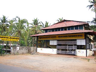
Kallar is a village in Kasaragod district in the Indian state of Kerala. Kallar is located on Kanhangad-Panathur road of 40 km south east of Kasaragod town and 27 km north east of Kanhangad.
Bare is a census town in Udma Grama Panchayat of Hosdurg taluk in Kasaragod district in Indian state of Kerala.
Kolthur is a village in Kasaragod taluk of Kasaragod district in Indian state of Kerala.
Puthur is a census town in Kasaragod district in the Indian state of Kerala. Puthur is a suburb of Kasaragod city.
