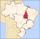
Roque Gonzales is a municipality located in the northwestern region of the southernmost state of Rio Grande do Sul, Brazil, east of the Uruguay River and the Argentinian border. Roque Gonzales was named after the jesuit missionary and saint Roque González de Santa Cruz.
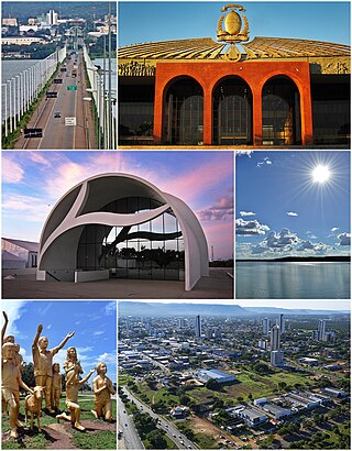
Palmas is the capital and largest city of the state of Tocantins, Brazil. According to IBGE estimates from 2024, the city has 323,625 inhabitants and an area that covers 2,218.93 square kilometers.
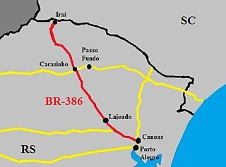
The BR-386 is a Brazilian federal highway running between the southern states of Rio Grande do Sul and Santa Catarina. It has a total length of 525 km (326 mi).
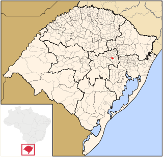
Lajeado is an important city in the valley of the Taquari River, Rio Grande do Sul, Brazil. The population is 97,432 in an area of 90.09 km2. Some of the largest distributors of food and fuel of the state are found in Lajeado. The city is mostly urban. Its current mayor is Marcelo Caumo. It was founded on January 26, 1891, when it was separated from the municipality of Estrela. It was colonized by German and Italian people.

Anta Gorda is a municipality in the state of Rio Grande do Sul, Brazil. The surrounding municipalities are Guaporé, Doutor Ricardo, Encantado, Ilópolis, and Arvorezinha. It is about 210 km from Porto Alegre.

Arroio do Meio is a municipality in the state of Rio Grande do Sul, Brazil. It is 98 km from Porto Alegre. It is on the banks of the Taquari River.
Dois Lajeados is a municipality in the state of Rio Grande do Sul, Brazil. As of 2020, the estimated population was 3,405.
Lajeado do Bugre is a municipality in the state of Rio Grande do Sul, Brazil. As of 2020, the estimated population was 2,566.
São Valentim do Sul is a municipality in the state of Rio Grande do Sul, Brazil. It was raised to municipality status in 1992, the area being taken out of the municipality of Dois Lajeados. As of 2020, the estimated population was 2,245.

Pedra Talhada Biological Reserve is a federally administered biological reserve in eastern Brazil. It contains a remnant of the tropical Atlantic Forest biome.

Guaporé is a Brazilian municipality located in the state of Rio Grande do Sul. It is the state's greatest jewelry and lingerie producer, ranking second in the country. The city was mainly colonized by Italian immigrants in the 19th century and still retains their traditions. The name comes from the Guaraní language and its meaning is disputed, most likely being Desert Valley.

Clube Atlético Ubirajá more known as Bira is a Brazilian basketball club locate in Lajeado, in the Rio Grande do Sul State and competes in NBB.
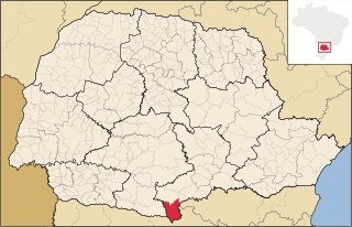
General Carneiro is a Brazilian municipality located in the extreme south of the state of Paraná. According to the census carried out by the IBGE in 2010, its population is 13,667 inhabitants.

Lajeado Grande is a municipality in the state of Santa Catarina in the South region of Brazil.
Lajeado Novo is a municipality in the state of Maranhão in the Northeast region of Brazil.
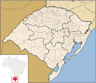
Forquetinha is a municipality in the state of Rio Grande do Sul, Brazil. It was raised to municipality status in 1996, the area being taken out of the municipality of Lajeado.
Gruta das Areias is a complex of caverns located in the region of Lajeado, in the municipality of Iporanga, São Paulo, Brazil. It is therefore part of the Areias System, located in the southwestern part of the carbonatic area Lajeado-Bombas, on the right bank of the Betari river, in the municipality of Iporanga, southeast of the state. It comprises the caves Ressurgência das Areias (SP-016), the 5.565 meter-long cave Areias de Cima (SP-018) and the Areias de Baixo (SP-019) cave, also popularly called Areias I and II. It is also part of the so-called Açungui group of caverns formed between the Mesoproterozoic and Neoproterozoic, between 1.6 billion and 539 million years ago.
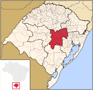
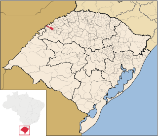
The Centro Oriental Rio-Grandense is one of the seven Mesoregion of the state of Rio Grande do Sul in Brazil. It consists of 54 municipalities, grouped in three Microregions:

The University of Taquari Valley is a private research university based in Lajeado, state of Rio Grande do Sul, Brazil. It currently has 13,235 students. As of 2011, it had 404 full-time teaching staff. It offers 45 courses on the undergraduate level, 4 on the master's level and one on the doctorate (PhD) level, also counting with 28 research projects, mainly on the areas of biology, food technology and biotechnology.
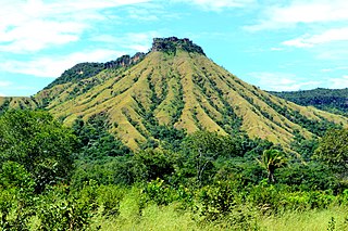
The Lajeado State Park is a state park in the state of Tocantins, Brazil. It protects a fragile, dry, hilly environment near the state capital of Palmas.