
Interstate 90 (I-90) is an east–west transcontinental freeway and the longest Interstate Highway in the United States at 3,021 miles (4,862 km). It begins in Seattle, Washington, and travels through the Pacific Northwest, Mountain West, Great Plains, Midwest, and the Northeast, ending in Boston, Massachusetts. The highway serves 13 states and has 15 auxiliary routes, primarily in major cities such as Chicago, Cleveland, Buffalo, and Rochester.
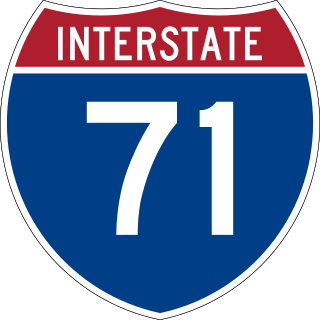
Interstate 71 (I-71) is a north–south Interstate Highway in the midwestern and southeastern regions of the United States. Its southern terminus is at an interchange with I-64 and I-65 in Louisville, Kentucky, and its northern terminus at an interchange with I-90 in Cleveland, Ohio. I-71 runs concurrently with I-75 from a point about 20 miles (32 km) south of Cincinnati, Ohio, into Downtown Cincinnati. While most odd numbered Interstates run north–south, I-71 takes more of a northeast–southwest course, with some east–west sections, and is mainly a regional route serving Kentucky and Ohio. It links I-80 and I-90 to I-70 and ultimately links to I-40. Major metropolitan areas served by I-71 include Louisville, Cincinnati, Columbus, and Cleveland.

State Route 21 (SR 21) is a north–south state highway in northeastern Ohio. The southern terminus is north of Strasburg on U.S. Route 250. The northern terminus is at an interchange with Interstate 77 in Cuyahoga Heights.

State Route 2, formerly known as Inter-county Highway 2 until 1921 and State Highway 2 in 1922, is an east–west highway crossing most of northern Ohio. Its western terminus is at the Indiana state line near Hicksville where the route becomes Indiana State Road 37 which continues to Fort Wayne, Indiana. The eastern terminus of the route is in Painesville Township in Lake County at U.S. Route 20 (US 20).

Interstate 271 (I-271) is an auxiliary Interstate Highway in the suburbs of Cleveland and Akron in the US state of Ohio. The highway is officially designated the Outerbelt East Freeway but is rarely referred to by that name by locals, instead simply referring to it as "271".

U.S. Route 322 is a 494-mile-long (795.0 km), east–west United States Highway, traversing Ohio, Pennsylvania, and New Jersey. The road is a spur of US 22 and one of the original highways from 1926. A portion of it at one time was concurrent with the Lakes-to-Sea Highway.
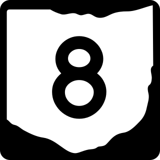
State Route 8 is a road in the U.S. state of Ohio. SR 8 stretches from the eastern junction of Interstate 76 (I-76) and I-77 in Akron to Public Square in Cleveland. It is one of nine routes to enter downtown Cleveland at Public Square. The route's first few miles are as a limited-access freeway from I-76 and I-77, heading north. The freeway section of the highway has 16 interchanges, and is cosigned with SR 59 for a short distance from Perkins Street in Akron to Front Street in Cuyahoga Falls. The freeway portion ends at I-271 in Macedonia.

State Route 59 is an east–west state highway in the U.S. state of Ohio, serving the Akron metropolitan area. The western terminus of State Route 59 is in downtown Akron at a partial interchange with the Interstate 76/Interstate 77 concurrency, and the eastern terminus is at State Route 5, 0.5 miles (0.80 km) east of Ravenna. The route is approximately 23 miles (37 km) long and was certified in 1969 over what had previously been part of SR 5. It serves as a major or as the primary east–west roadway for the cities of Cuyahoga Falls, Kent, Ravenna, and Stow, the village of Silver Lake, and Franklin and Ravenna Townships.

Interstate 490 (I-490) is a 2.43-mile (3.91 km) auxiliary Interstate Highway in Cleveland, Ohio. The western terminus is a junction with I-90 and I-71 on Cleveland's west side. After spanning the Cuyahoga River, I-490 reaches its eastern terminus at a junction with East 55th Street, just east of I-77.
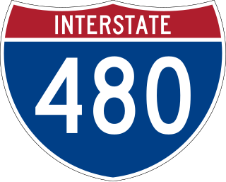
Interstate 480 (I-480) is a 41.77-mile-long (67.22 km) auxiliary Interstate Highway of I-80 in the US state of Ohio that passes through much of the Greater Cleveland area, including the southern parts of the city of Cleveland. I-480 is one of 13 auxiliary Interstate Highways in the state. The western terminus of I-480 is an interchange with I-80 and the Ohio Turnpike in North Ridgeville. Starting east through suburban Lorain County, I-480 enters Cuyahoga County, then approaches Cleveland Hopkins International Airport, which serves as the primary airport for Northeast Ohio. After traversing Brooklyn and crossing the Cuyahoga River on the Valley View Bridge, the highway continues east toward the communities of Bedford and Twinsburg toward its eastern terminus at I-80 and the Ohio Turnpike in Streetsboro. On its route, I-480 crosses I-71 and I-77 and is concurrent with I-271 for approximately four miles (6.4 km). In 1998, the governor of Ohio, George Voinovich, gave I-480 the additional name of the "Senator John Glenn Highway", in honor of the former NASA astronaut and US senator from Ohio for 24 years.
The Cleveland Memorial Shoreway, often shortened to "the Shoreway", is a limited-access freeway in Cleveland and Bratenahl, Ohio. It closely follows the shore of Lake Erie and connects the east and west sides of Cleveland via the Main Avenue Bridge over the Cuyahoga River. The entire length of the Shoreway is part of the Lake Erie Circle Tour (LECT) and all but the very eastern end of the Shoreway is part of State Route 2. The Shoreway also carries parts of Interstate 90 and State Route 283 on its eastern side, and parts of U.S. Route 6 and U.S. Route 20 on its western side. The Cleveland neighborhood of Detroit-Shoreway is named after the two roads that form the northern border, the Shoreway and Detroit Avenue.

Ohio State Route 176 is a route linking Interstate 71 (I-71) in Cleveland to I-77 near Richfield. The freeway portion is known as the Jennings Freeway, while the at-grade portion is mostly Broadview Road.

State Route 237 is a nearly 14-mile (23 km) north–south signed route in Cuyahoga County, Ohio. Its southern terminus is at SR 82 in Strongsville, and its northern terminus is in Lakewood where U.S. Route 20 (US 20) joins the US 6 / SR 2 concurrency.

State Route 633 is a short north–south state highway in the northeastern portion of the U.S. state of Ohio. Occupying a portion of Lloyd Road, SR 633 has its southern terminus at a signalized intersection with U.S. Route 20 (US 20) in Wickliffe. Its northern terminus is also in Wickliffe, but at a signalized intersection with Lakeland Boulevard, which provides access to current SR 2 freeway by way of a trumpet interchange just to the east.
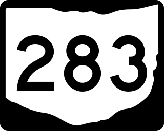
State Route 283 is an east–west state highway in the northeastern portion of the U.S. state of Ohio. Its western terminus at U.S. Route 6 2+1⁄2 miles northeast of Downtown Cleveland, and its eastern terminus at U.S. Route 20 in Painesville. Most of the route is known as Lakeshore Boulevard until it approaches the Grand River in Lake County. During its final stretch, its name changes to Olive Street, River Street, and finally to Richmond Street. The entire highway is part of the Lake Erie Circle Tour.
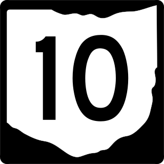
State Route 10 is a state highway located in and around Cleveland, Ohio. The route's western terminus is in Eaton Township in Lorain County, and the eastern terminus is in Cleveland's University Circle neighborhood.
Interstate 90 (I-90) runs east–west across the northern tier of the US state of Ohio. Much of it is along the Ohio Turnpike, but sections outside the turnpike pass through Cleveland and northeast into Pennsylvania.

U.S. Route 20 (US 20) is a United States Numbered Highway that runs from Newport, Oregon, to Boston, Massachusetts. Within the state of Ohio, the route runs from the Indiana border near Edon to the Pennsylvania border at Conneaut. The route passes through rural areas west of Toledo and passes through Public Square in Cleveland. It is one of nine other routes to enter Downtown Cleveland at Public Square, and it serves some of Cleveland's northeastern suburbs.

State Route 175 (SR 175) is a 15.70-mile (25.27 km) long north–south state highway in the northeastern part of the U.S. state of Ohio. The southern terminus of SR 175 is at a signalized intersection with SR 43 in Solon. Its northern terminus is at a signalized intersection with SR 283 in Euclid.

The transportation system of Cleveland is a network that includes several modes of transportation including sidewalks, roads, public transit, bicycle paths and regional and international airports.

