Landau an der Isar

Last updated
Landau an der Isar
Stadtpfarrkirche Landau-2.JPG
Parish church
Wappen Landau an der Isar.svg
Location of Landau an der Isar within Dingolfing-Landau district
Landau a.d.Isar in DGF.pngReisbachSimbach
Germany adm location map.svg
Red pog.svg
Landau an der Isar
Bavaria location map.svg
Red pog.svg
Landau an der Isar
Coordinates: 48°40′N12°40′E / 48.667°N 12.667°E / 48.667; 12.667
Country Germany
State Bavaria
Admin. region Niederbayern
District Dingolfing-Landau
Government
   Mayor (202026) Matthias Kohlmayer [1]
Area
  Total84.37 km2 (32.58 sq mi)
Elevation
390 m (1,280 ft)
Population
 (2023-12-31) [2]
  Total14,402
  Density170/km2 (440/sq mi)
Time zone UTC+01:00 (CET)
  Summer (DST) UTC+02:00 (CEST)
Postal codes
94405
Dialling codes 09951
Vehicle registration DGF (formerly: LAN)
Website www.landau-isar.de
360deg Panorama Landau a.d. Isar Landau Bahnhof Panorama.jpg
360° Panorama Landau a.d. Isar
Postcard of Landau an der Isar, 1917 Landau - Isar 2 - Postcard.jpg
Postcard of Landau an der Isar, 1917

Landau an der Isar (Central Bavarian: Landa an da Isar) is the second-largest town in the Lower Bavarian district, or Landkreis, of Dingolfing-Landau, in the state of Bavaria, Germany. It lies on the river Isar, 120 km downstream from Munich. In 2020, its population was around 14,000.

Contents

History

Landau was founded in 1224 by the Wittelsbach Ludwig I, Duke of Bavaria. The town had been a Pflegamt for many years and belonged to the Landshut Rentamt  [ bar; de; es ] of the Electorate-Principality (Kurfürstentum) of Bavaria. Landau possessed a town court with broad magisterial powers (Landgericht).

Until the Bavarian county reform, or Kreisreform in German, in 1972, Landau was the district seat (Kreisstadt) of its own Landkreis, having the license plate code LAN. In the reform, the former townships of Frammering, Mettenhausen, Reichersdorf and Zeholfing, along with parts of the townships of Kammern and Ganacker, were merged with the town of Landau. The incorporation of the townships of Nieder- and Oberhöcking followed in 1978.

Celebrities

Former Landauers

Honorary town citizens

Sights to see

Economy and infrastructure

Economy: prominent companies

Traffic/roadways

The town is bound by the Bundesstraße 20 and the Bundesautobahn 92 and lies on the train line Landshut–Wörth a.d.Isar–Dingolfing–Landau a.d.Isar–Wallersdorf–Plattling.

Government offices

Related Research Articles

Deggendorf is a Landkreis (district) in Bavaria, Germany. It is bordered by the districts of Regen, Freyung-Grafenau, Passau, Rottal-Inn, Dingolfing-Landau and Straubing-Bogen.

Dingolfing-Landau is a Landkreis (district) in Bavaria, Germany. It is bounded by the districts of Straubing-Bogen, Deggendorf, Rottal-Inn and Landshut.

Erding is a Landkreis (district) in Bavaria, Germany. It is bounded by the districts of Landshut, Mühldorf, Ebersberg, Munich and Freising.
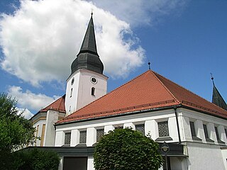
<span class="mw-page-title-main">Simbach, Dingolfing-Landau</span> Municipality in Bavaria, Germany

Simbach is a market town and municipality in the district of Dingolfing-Landau, Bavaria, Germany. As of 2020, it had a population of around 4,000 and an area of 51.23 km².

<span class="mw-page-title-main">Landshut</span> Town in Bavaria, Germany

Landshut is a town in Bavaria in the south-east of Germany. Situated on the banks of the River Isar, Landshut is the capital of Lower Bavaria, one of the seven administrative regions of the Free State of Bavaria. It is also the seat of the surrounding district and has a population of more than 75,000. Landshut is the largest city in Lower Bavaria, followed by Passau and Straubing, and Eastern Bavaria's second after Regensburg.

Landshut is a Landkreis (district) in Bavaria, Germany. It is bounded by the districts of Kelheim, Straubing-Bogen, Dingolfing-Landau, Rottal-Inn, Mühldorf, Erding and Freising. The city of Landshut is enclosed by, but does not belong to the district. It is nonetheless its administrative seat.

Rottal-Inn is a Landkreis (district) in the southeastern part of Bavaria, Germany. Neighboring districts are Altötting, Mühldorf, Landshut, Dingolfing-Landau and Passau. To the southeast is the Austrian state of Upper Austria (Braunau).

Straubing-Bogen is a Landkreis (district) in the eastern part of Bavaria, Germany. Neighboring districts are Cham, Regen, Deggendorf, Dingolfing-Landau, Landshut and Regensburg. The independent town of Straubing is surrounded by the district. The seat of the government of the district (Landratsamt) is located in Straubing.

<span class="mw-page-title-main">Moosburg an der Isar</span> Town in Bavaria, Germany

Moosburg an der Isar is a town in the Landkreis Freising of Bavaria, Germany.
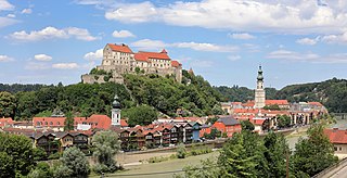
<span class="mw-page-title-main">Burghausen, Altötting</span> Town in Bavaria, Germany

Burghausen is the largest town in the Altötting district of Upper Bavaria in Germany. It is situated on the Salzach river, near the border with Austria. Burghausen Castle rests along a ridgeline, and is the longest castle in the world.
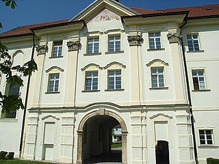
<span class="mw-page-title-main">Aldersbach</span> Municipality in Bavaria, Germany

Aldersbach is a municipality in the district of Passau in Bavaria in Germany. The former Cistercian Aldersbach Abbey, of which the Baroque church remains, is located in the village. There is also a brewery with museum. Aldersbach has around 4,500 inhabitants.

<span class="mw-page-title-main">Eichendorf</span> Municipality in Bavaria, Germany

Eichendorf(Bavarian: Oachadoaf) is a municipality in the district of Dingolfing-Landau in Bavaria in Germany.

<span class="mw-page-title-main">Dingolfing</span> Town in Bavaria, Germany

Dingolfing is a town in southern Bavaria, Germany. It is the seat of the Landkreis (district) Dingolfing-Landau. Dingolfing is home of a BMW assembly plant.

<span class="mw-page-title-main">Plattling</span> Town in Bavaria, Germany

Plattling is a town in the district of Deggendorf, Bavaria, Germany, on the river Isar, 9 km southwest of Deggendorf, just before it enters the Danube.

<span class="mw-page-title-main">Ergolding</span> Municipality in Bavaria, Germany

Ergolding is a municipality in the district of Landshut, in Bavaria, Germany. It is situated on the left bank of the Isar, 5 km northeast of Landshut.

<span class="mw-page-title-main">Niederviehbach</span> Municipality in Bavaria, Germany

Niederviehbach is a municipality in the district of Dingolfing-Landau in Bavaria in Germany. It lies on the Isar River.

<span class="mw-page-title-main">Bayerbach bei Ergoldsbach</span> Municipality in Bavaria, Germany

Bayerbach is a municipality in the district of Landshut in Bavaria in Germany.

<span class="mw-page-title-main">Zeilarn</span> Municipality in Bavaria, Germany

Zeilarn is a municipality in the district of Rottal-Inn in Bavaria, Germany.

<span class="mw-page-title-main">Gangkofen</span> Municipality in Bavaria, Germany

Gangkofen is a municipality in the county ("Landkreis") of Rottal-Inn in Bavaria in Germany.
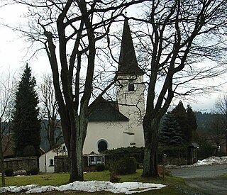
<span class="mw-page-title-main">Stadlern</span> Municipality in Bavaria, Germany

Stadlern is a municipality in the district of Schwandorf in Bavaria, Germany.

References