Langley Wood and Homan's Copse (grid reference SU230206 ) is a 219.28 hectare biological Site of Special Scientific Interest in Wiltshire, notified in 1985. [1]

Langley Wood and Homan's Copse (grid reference SU230206 ) is a 219.28 hectare biological Site of Special Scientific Interest in Wiltshire, notified in 1985. [1]

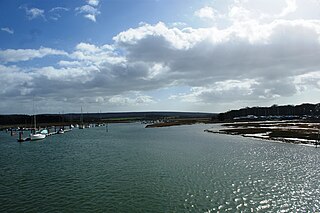
The River Yar on the Isle of Wight, England, rises near the beach at Freshwater Bay, on the south coast, and flows only a few miles north to Yarmouth where it meets the Solent. Most of the river is a tidal estuary. Its headwaters have been truncated by erosion of the south coast.

Blackmoor Copse is a woodland in southeast Wiltshire, England, managed as a nature reserve by the Wiltshire Wildlife Trust. The copse lies within Pitton and Farley parish, about 5+1⁄2 miles (9 km) east of Salisbury.
Bembridge School And Cliffs SSSI is a 12.58 hectare geological Site of Special Scientific Interest near Bembridge on the Isle of Wight, notified in 1999.

Kellaways - West Tytherton, River Avon SSSI is a 4.1 hectare geological Site of Special Scientific Interest in Wiltshire, notified in 1998.
Bincknoll Dip Woods is a woodland in Wiltshire, England.
Polyne Quarry is a 0.1 hectare Site of Special Scientific Interest (SSSI) in Cornwall, England, UK. It is located to the north of Polperro civil parish, 2 miles (3.2 km) to the west of Looe.
Chickengrove Bottom is a 9.8 hectare biological Site of Special Scientific Interest to the south east of the village of Bowerchalke in Wiltshire, notified in 1975.
Landford Bog is an 11.6 hectare biological Site of Special Scientific Interest at Landford in southeast Wiltshire, England. It was notified in 1987.
Landford Heath is an 11.75 hectare biological Site of Special Scientific Interest near Landford in southeast Wiltshire, England. It was notified in 1994.

Loosehanger Copse and Meadows is a 56.27 hectare biological Site of Special Scientific Interest in Wiltshire, England, notified in 1992.

Dibden Bay is a 229.4-hectare (567-acre) biological Site of Special Scientific Interest (SSSI) between Marchwood and Hythe in Hampshire.

Wheal Alfred is the site of a former copper and lead mine and a designated Site of Special Scientific Interest (SSSI) in west Cornwall, England, UK. The mine is located 1 mile (1.6 km) east of the town of Hayle and is also a Geological Conservation Review site. The mine is famous to geologists for its important mineral specimens such as mimetite and pyromorphite.
Meddon Moor is a Site of Special Scientific Interest (SSSI) in Cornwall, England. The moor is located in the very north-eastern corner of Cornwall, on the border with Devon, within the civil parish of Morwenstow. The Devon village of Meddon lies 500 metres (1,600 ft) to the north-east of the moor.

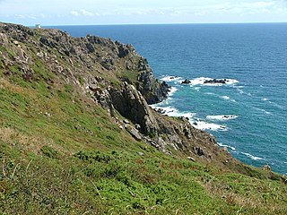
Baulk Head to Mullion is a coastal Site of Special Scientific Interest (SSSI) in Cornwall, England, UK, noted for both its biological and geological characteristics.

Gerrans Bay to Camels Cove is a coastal Site of Special Scientific Interest (SSSI) in south Cornwall, England, UK, noted for both its biological and geological interest.

Kennack to Coverack is a coastal Site of Special Scientific Interest (SSSI) on the Lizard Peninsula in Cornwall, England, UK, noted for both its biological and geological interest. It is of botanical importance, with 8 Red Data Book of rare and endangered plant species being found on the site as well as other nationally scarce varieties.
Lymsworthy Meadows is a Site of Special Scientific Interest (SSSI) in north Cornwall, England, UK, noted for its biological characteristics.

Meneage Coastal Section is a coastal Site of Special Scientific Interest (SSSI) in southern Cornwall, England, UK, noted for its geological characteristics.
Mulberry Downs Quarry is a disused opencast tin mine in Cornwall, England, UK. Today the site is described as a 'chasm' being a steep or sheer-sided pit 700 foot (210 m) long and up to 100 foot (30 m) deep, and the quarry and immediate surroundings are heavily wooded. The quarry was designated as a Site of Special Scientific Interest (SSSI) in 1973 for its geological interest.

Newlyn Downs is a Site of Special Scientific Interest (SSSI) in north Cornwall, England, UK, noted for its biological characteristics.
Coordinates: 50°59′04″N1°40′25″W / 50.9844°N 1.6737°W