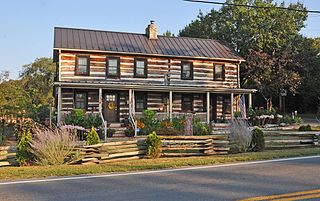
Darkesville is an unincorporated community in Berkeley County, West Virginia, United States. Established in 1791, Darkesville has been nationally recognized as a historic district.
Stumptown is an unincorporated community in Gilmer County, West Virginia, United States, at the confluence of the left and right forks of Steer Creek. It was named for Michael Stump III, a pioneer settler. It lies at an elevation of 725 feet (221 m). The Stumptown Post Office opened May 29, 1883 and closed February 1, 1997.
Linden is an unincorporated community in Roane County, West Virginia, United States, along the Henry Fork. Its elevation is 755 feet (230 m).
Looneyville is an unincorporated community on Flat Creek of the Pocatalico River in Roane County, West Virginia, United States. It is located on West Virginia Route 36. The community is named for Robert Looney, a pioneer settler. The post office was established in 1870.
Petroleum is an unincorporated community in Ritchie County, West Virginia, United States. Its elevation is 699 feet (213 m). Its post office closed on November 9, 2002, but the community still has a ZIP code of 26161. The North Bend Rail Trail passes through the community.
Rock Castle is an unincorporated community in southwestern Jackson County, West Virginia, United States. It lies along Rock Castle Road, south of the city of Ripley, the county seat of Jackson County. Its elevation is 705 feet (215 m).
Kentuck is an unincorporated community in southeastern Jackson County, West Virginia, United States. It lies along Kentuck Road southeast of the city of Ripley, the county seat of Jackson County. Its elevation is 922 feet (281 m).
Kenna is an unincorporated community in southern Jackson County, West Virginia, United States. It lies along West Virginia Route 34 just west of its interchange with Interstate 77, south of the city of Ripley, the county seat of Jackson County. Its elevation is 787 feet (240 m). Although Kenna is unincorporated, it has a post office, with the ZIP code of 25248.
Advent is an unincorporated community in southeastern Jackson County, West Virginia, United States. It lies along Advent Road southeast of the city of Ripley, the county seat of Jackson County, and near Jackson County's borders with Kanawha and Roane counties. Its elevation is 791 feet (241 m). Advent had a post office, which closed on December 25, 2010.
Evans is an unincorporated community in western Jackson County, West Virginia, United States. It lies along West Virginia Route 87 west of the city of Ripley, the county seat of Jackson County. Its elevation is 594 feet (181 m). Although Evans is unincorporated, it has a post office, with the ZIP code of 25241. Evans is home to 20 businesses that employ 70 individuals.
Given is an unincorporated community in southwestern Jackson County, West Virginia, United States. It lies at the intersection of Rock Castle, Shamblin Run, and Wolfe Creek Roads, south of the city of Ripley, the county seat of Jackson County. Its elevation is 689 feet (210 m). Although Given is unincorporated, it has a post office, with the ZIP code of 25245.
Sherman is an unincorporated community in northern Jackson County, West Virginia, United States, along the Ohio River. It lies along West Virginia Route 68 north of the city of Ravenswood. Its elevation is 600 feet (183 m).

Lashmeet is a census-designated place (CDP) in western Mercer County, West Virginia, United States. It lies along West Virginia Route 10 northwest of the city of Princeton, the county seat of Mercer County. Its elevation is 2,539 feet (774 m). Although Lashmeet is unincorporated, it has a post office, with the ZIP code of 24733. As of the 2010 census, its population was 479.
Neola is an unincorporated community in northeastern Greenbrier County, West Virginia, United States. It lies along West Virginia Route 92 north of the city of White Sulphur Springs. Its elevation is 2,037 feet (621 m).
Peniel is an unincorporated community in Roane County, West Virginia, United States. Peniel is located along the Middle Fork Reedy Creek on U.S. Route 33, 6.5 miles (10.5 km) west-northwest of Spencer.
The West Fork Little Kanawha River is a tributary of the Little Kanawha River, 48.1 miles (77.4 km) long, in west-central West Virginia in the United States. Via the Little Kanawha and Ohio rivers, it is part of the watershed of the Mississippi River, draining an area of 246 square miles (640 km2) in a rural region on the unglaciated portion of the Allegheny Plateau. By drainage area, it is the second-largest tributary of the Little Kanawha River, after the Hughes River.

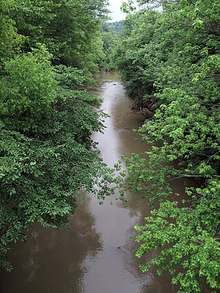
Reedy Creek is a tributary of the Little Kanawha River in western West Virginia in the United States. Via the Little Kanawha and Ohio rivers, it is part of the watershed of the Mississippi River, draining an area of 133 square miles (340 km2) in a rural region on the unglaciated portion of the Allegheny Plateau. It is 22.6 miles (36.4 km) long, or 38.5 miles (62.0 km) long including its Left Fork.
Clover is an unincorporated community in Roane County, West Virginia, United States. Clover is located on West Virginia Route 36, 6.5 miles (10.5 km) southeast of Spencer.
Woodyard was an unincorporated community in Roane County, West Virginia. Its post office is closed.
Flatfork is an unincorporated community in Roane County, in the U.S. state of West Virginia.
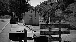
 Left Hand postmark