Mamuju Regency | |
|---|---|
 A mandar traditional house in Mamuju | |
 Coat of arms | |
| Motto(s): Manakarra (A Sacred Land of Inheritance) | |
 | |
| Country | Indonesia |
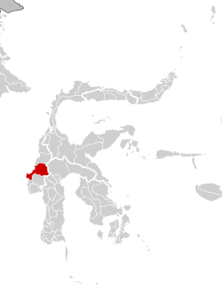
| Province | West Sulawesi |
| Regency | Mamuju |
| Government | |
| • Regent | Siti Sutina Suhardi |
| • Vice Regent | Yuki Permana |
| Area | |
• Total | 4,936.02 km2 (1,905.81 sq mi) |
| Population (mid 2024 estimate) [1] | |
• Total | 297,141 |
| • Density | 60/km2 (160/sq mi) |
| Time zone | UTC+8 (Indonesia Central Time) |
| Area code | +62 426 |
| Website | mamujukab |
Mamuju Regency is a regency (Indonesian : kabupaten Mamuju) of West Sulawesi province, Indonesia. The regency capital is at Karema, while Mamuju town is the capital of West Sulawesi. The population of the regency was 336,879 at the 2010 Census, [2] but it was substantially reduced by the creation of the new Central Mamuju Regency which was cut out of it on 14 December 2012. The reduced Mamuju Regency covers an area of 4,936.02 km2 and had a population of 278,764 at the 2020 Census; [3] the official estimate as at mid 2024 was 297,141 (comprising 149,395 males and 142,844 females in mid 2023). [1]
