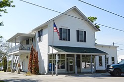
A ZIP Code is a system of postal codes used by the United States Postal Service (USPS). The term ZIP was chosen to suggest that the mail travels more efficiently and quickly when senders use the code in the postal address.

Sterling is an unincorporated, census-designated place in northwestern Milton Township, Wayne County, Ohio, United States with the ZIP code of 44276. The population was 432 at the 2020 census.

Derby is a census-designated place in central Darby Township, Pickaway County, Ohio, United States. It is assigned the ZIP code 43117. The population was 355 at the 2020 census.
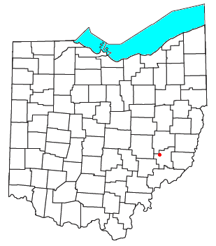
Ava is an unincorporated community in northwestern Noble Township, Noble County, Ohio, United States. It has a post office with the ZIP code 43711. Another location in Ava is a small museum dedicated to the nearby crash of the airship USS Shenandoah in 1925.

Marathon is an unincorporated community and Census-designated place in northeastern Jackson Township, Clermont County, Ohio, United States. Although it is unincorporated, it had a post office, with the ZIP code 45145. The current ZIP code is 45118. It lies along U.S. Route 50.
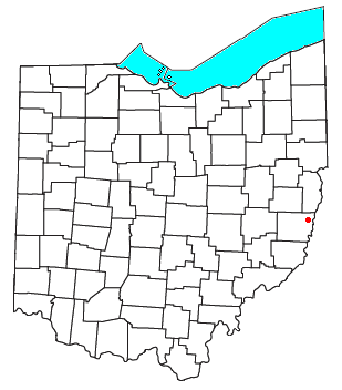
Lansing is a census-designated place in northern Pease Township, Belmont County, Ohio, United States, along Wheeling Creek. As of the 2020 census it had a population of 596. It has a post office with the ZIP code 43934.

Blaine is an unincorporated community in northern Pease Township, Belmont County, Ohio, United States. It is located along Wheeling Creek. It has a post office with the ZIP code 43909.

Damascus is an unincorporated community and census-designated place in southern Mahoning and northern Columbiana counties in the U.S. state of Ohio. As of the 2020 census, it had a population of 418. The community lies at the intersection of U.S. Route 62 and State Routes 173 and 534.
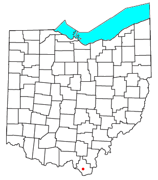
Kitts Hill is an unincorporated community in western Lawrence Township, Lawrence County, Ohio, United States. It has a post office with the ZIP code 45645. It lies along State Route 141 northeast of the city of Ironton, the county seat of Lawrence County. It has a community center that was previously Deering Local School District in the area. The majority of Pre-K through 12th grade education is provided by the Rock Hill Local School District, although very small portions of the area are served by the Dawson-Bryant Local School District.

Wolf Run is an unincorporated community in eastern Springfield Township, Jefferson County, Ohio, United States. It has a post office with the ZIP code 43970. The stream of Wolf Run, which flows northward past the community, is a tributary of Goose Creek, which in turn flows southward to meet Cross Creek in Harrison County's German Township, which in turn flows eastward to meet the Ohio River at Mingo Junction.
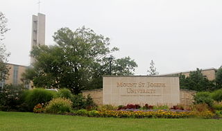
Mount Saint Joseph is an unincorporated community in central Delhi Township, Hamilton County, Ohio, United States. It has a post office with the ZIP code 45051. Because it includes the motherhouse of the Sisters of Charity of Cincinnati, the Internal Revenue Service recognizes 45051 as the eighth most generous ZIP code in the United States, with residents giving 41.50% of their net income to charity. The unincorporated community is also home to the Mount St. Joseph University.
Winona is an unincorporated community in southeastern Butler Township, Columbiana County, Ohio, United States. It has a post office with the ZIP code 44493.

Williamsfield is an unincorporated community in central Williamsfield Township, Ashtabula County, Ohio, United States. It has a post office with the ZIP code 44093. It lies at the intersection of U.S. Route 322 with State Route 7. In 2014, it was named the most stressed community in the United States.

Reno is a census-designated place in southern Marietta Township, Washington County, Ohio, United States. It has a post office with the ZIP code 45773. It is located on the Ohio River a short distance south of the county seat of Marietta. State Route 7 forms its main street. The population was 1,129 at the 2020 census.

Little Hocking is a census-designated place in southern Belpre Township, Washington County, Ohio, United States. It has a post office with the ZIP code 45742. The population of the CPD was 244 at the 2020 census.
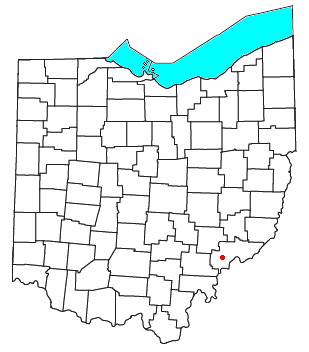
Barlow is an unincorporated community in western Barlow Township, Washington County, Ohio, United States. Although it is unincorporated, it has a ZIP code 45712. It lies at the intersection of State Routes 339 and 550 near the South Fork of Wolf Creek, which meets the Muskingum River at Waterford to the north.

East Fultonham is a census-designated place in central Newton Township, Muskingum County, Ohio, United States. It has a post office with the ZIP code 43735. It is located along U.S. Route 22 a short distance east of the village of Fultonham. The population was 290 at the 2020 census.
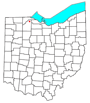
Moline is an unincorporated community in western Lake Township, Wood County, Ohio, United States.
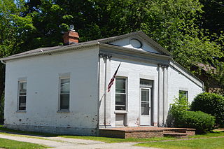
Unionville is an unincorporated community on the line between northwestern Harpersfield Township in Ashtabula County and eastern Madison Township in Lake County, in the U.S. state of Ohio. It has a post office with the ZIP code 44088. It lies along State Route 84.
