Massillon, Iowa | |
|---|---|
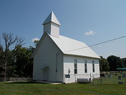 Church Upon a Hill | |
 Massillon, Iowa Location within the state of Iowa  Massillon, Iowa Massillon, Iowa (the United States) | |
| Coordinates: 41°54′53″N90°55′22″W / 41.91472°N 90.92278°W [1] | |
| Country | United States |
| State | Iowa |
| County | Cedar County |
| Elevation | 728 ft (222 m) |
| Time zone | UTC-6 (Central (CST)) |
| • Summer (DST) | UTC-5 (CDT) |
| Area code | 563 |
| GNIS feature ID | 458853 [1] |
Massillon is an unincorporated community in Massillon Township, Cedar County, Iowa, United States. It is south of the Wapsipinicon River on County Road Y24, west of Toronto and north of Lowden in the northeastern corner of the county. [2]
