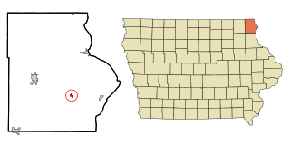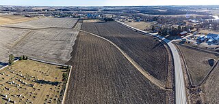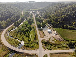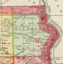
Waterville is a city in Paint Creek Township, Allamakee County, Iowa, United States. The population was 109 at the time of the 2020 census.

Florenceville is an unincorporated community located in Howard County, Iowa, United States. It is adjacent to the village of Granger, Minnesota.

Dorchester is an unincorporated community in northwestern Allamakee County, Iowa, United States. It lies along local roads just off Iowa Highway 76, north of the city of Waukon, the county seat of Allamakee County. Its elevation is 738 feet (225 m). The town was originally settled by Harvey Bell and Edmund Bell, and was named after Dorchester, England. Although Dorchester is unincorporated, it has a post office, with the ZIP code of 52140, which opened on 21 May 1857. Dorchester is located in Waterloo Township.
Prole is an unincorporated rural village in northwestern Warren County, Iowa, United States. It lies along Iowa Highway 28 northwest of the city of Indianola, the county seat of Warren County. Its elevation is 978 feet (298 m). Prole has a post office, with the ZIP code of 50229,
Conover is a ghost town located in Winneshiek County, Iowa, United States. It appears on the Fort Atkinson quadrangle of the United States Geological Survey topographic map and has been subsumed within the U.S. Postal Service ZIP code of nearby Calmar.
Powersville is a rural community in Floyd County, Iowa, United States. It consists of a small granary and several houses.
Lycurgus is a rural unincorporated community in Allamakee County, Iowa, United States.
Church is an unincorporated community in Allamakee County, Iowa, United States.
Volney is an unincorporated community in Allamakee County, Iowa, United States.
Plato is an unincorporated community in Cedar County, Iowa, United States. Plato is located at 41°44′17″N91°18′31″W.
Portland is an unincorporated community and census-designated place (CDP) in Portland Township, Cerro Gordo County, Iowa, United States. As of the 2020 census it had a population of 28.
Waukon Junction is an unincorporated community in Allamakee County, Iowa, United States.
Elon is an unincorporated community in Allamakee County, Iowa, United States.
Quincy is an unincorporated community in Adams County, Iowa, United States.
Cleves is an unincorporated community in Hardin County, Iowa, United States, with a bank, a repair shop, and a grain elevator.
Cornell is an unincorporated community in Herdland Township, Clay County, Iowa, United States. Cornell is located near U.S. Route 71 and is 3.6 miles (5.8 km) north of Sioux Rapids.
Oneida is an unincorporated community in Oneida Township, Delaware County, Iowa, United States. The community is on county highway D13, 3 miles (4.8 km) south of Greeley.
Quandahl is an unincorporated community in Allamakee County, Iowa, United States.
Village Creek is an unincorporated community in Allamakee County, Iowa, United States.
Jacobs was an unincorporated community in Poweshiek County, in the U.S. state of Iowa.


