
Lake of the Ozarks is a reservoir created by impounding the Osage River in the northern part of the Ozarks in central Missouri. Parts of three smaller tributaries to the Osage are included in the impoundment - the Niangua River, Grandglaize Creek, and Gravois Creek. The lake has a surface area of 54,000 acres (220 km2) and 1,150 miles (1,850 km) of shoreline. The main channel of the Osage Arm stretches 92 miles (148 km) from one end to the other. The total drainage area is over 14,000 square miles (36,000 km2). The lake's serpentine shape has earned it the nickname "the Missouri Dragon", which has, in turn, inspired the names of local institutions such as the Magic Dragon Street Meet.

Route 14 is a state highway traveling through the southern part of the U.S. state of Missouri. Its western terminus is at U.S. Route 60 (US 60) in Marionville, and its eastern terminus is at US 63 on the northern edge of West Plains. Route 14 is a two-lane highway for its entire length, however, there are plans to widen Route 14 in some spots.
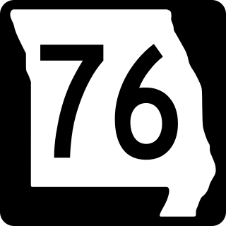
Route 76 is a highway in the west half of southern Missouri running between U.S. Route 60 and U.S. Route 63 at Willow Springs and the Oklahoma state line near Tiff City where it continues as a county road. It bypasses Branson on the Ozark Mountain High Road and is the namesake of the Branson strip, 76 Country Blvd. The road runs for its entirety through the Missouri Ozarks, and is at times very hilly and curvy.

Route 7 is a state highway with its northern terminus at U.S. Route 24 in northeast Independence and its southern terminus at Interstate 44 southeast of Richland. The section between Harrisonville and Clinton provides an important link for traffic between Springfield and Kansas City.

Route 265 is a highway in southwestern Missouri. Its northern terminus is at Interstate 44 in Mount Vernon; its southern terminus is at U.S. Route 65 south of Branson. Much of the highway is concurrent with other routes. It is also known as the Ozark Mountain Parkway.

Route 95 is a highway in southern Missouri. Its northern terminus is at Route 32 at Lynchburg in Laclede County. Its southern terminus is at U.S. Route 160 at Lutie about 2.5 miles west of the Theodosia arm of Bull Shoals Lake in Ozark County.
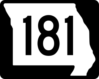
Route 181 is a highway in southern Missouri. Its southern terminus is at US 160 in Gainesville in Ozark County. It passes through eastern Douglas County and reaches its northern terminus at Business U.S. Route 60 in Cabool in Texas County.
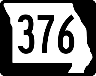
Route 376 is a short highway in Branson, Missouri. Its southern terminus is at Route 265, and its northern terminus is at Route 76.

Route 101 is a short highway in southern Missouri. The route starts at Arkansas Highway 101 at the Arkansas–Missouri state line, and travels northeastward. It travels through the city of Bakersfield, intersecting Route 142. The road then continues north to its northern terminus at U.S. Route 160 in Caulfield. The route was designated in 1941, after a supplementary route was renumbered.
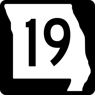
Route 19 is a long state highway in Missouri. Its northern terminus is at U.S. Route 61 in New London and its southern terminus is at U.S. Route 63 on the north side of Thayer. Route 19 is one of Missouri's original 1922 highways, though it initially had a northern terminus at Route 14 in Cuba and was later extended north.

Route 248 is a highway in southwestern Missouri. Its eastern terminus is at U.S. Route 65 in Branson. Its western terminus is at Route 76/Route 86/Route 112 in Cassville.

Route 135 is a highway in central Missouri. Its northern terminus is at Interstate 70/U.S. Route 40/Route 41 west of Boonville; its southern terminus is at Route 5 near the Lake of the Ozarks.

Route 42 is a highway in central Missouri. Its eastern terminus is at Route 28 south of Belle; its western terminus is at US 54 in Osage Beach.

Route 49 is a highway in eastern Missouri. Its northern terminus is at Route 19 in Cherryville; is southern terminus is at U.S. Route 67 five miles (8 km) east of Williamsville.
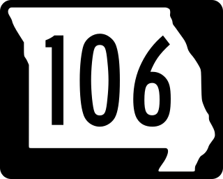
Route 106 is a highway in the southern part of the US State of Missouri. Its eastern terminus is at Route 21 at Ellington; its western terminus is at Route 17 in Summersville. Route 106 runs through the eastern, mountainous Ozarks and through two sections of the Ozark National Scenic Riverways.

Route 103 is a short highway in southeastern Missouri. Its southern terminus is at Route Z inside the Ozark National Scenic Riverways. The route travels north and intersects a few county roads as it leaves the national park. The road ends at U.S. Route 60 in a three-way junction. After being proposed in 1930, a road was built from the national park to US 60 in 1933. The gravel road was designated as Route 103, and it was paved five years later.

Route 176 is a highway in southwestern Missouri. The eastern terminus is at U.S. Route 160 north of Forsyth; its western terminus is at Route 248/Route 265/Route 413 in Galena.
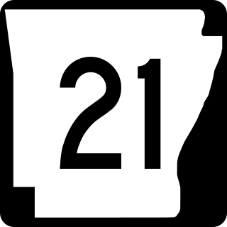
Highway 21 is a north–south state highway in north central Arkansas. The route of 99.14 miles (159.55 km) runs from US Route 64 (US 64) in Clarksville north across US 62 to Missouri Route 13 at the Missouri state line The route is a two-lane highway with the exception of a brief concurrency with US 62, a four-lane highway, in Berryville.

Missouri Route 242, also known as Horseshoe Bend Parkway, is a short highway in central Missouri found within Lake Ozark. The highway runs from the US 54 expressway junction near Osage Beach in Miller County in the east to Route MM in Camden County.

U.S. Route 54 in Missouri is a west-east highway that starts from the Kansas state line in Nevada to the Illinois state line in Louisiana.

