
Interstate 55 (I-55) is a major Interstate Highway in the central United States. As with most primary Interstates that end in a five, it is a major cross-country, north–south route, connecting the Gulf of Mexico to the Great Lakes. The highway travels from LaPlace, Louisiana, at I-10 to Chicago, Illinois, at U.S. Route 41, at McCormick Place. The major cities that I-55 connects to are New Orleans, Louisiana; Jackson, Mississippi; Memphis, Tennessee; St. Louis, Missouri; and Chicago, Illinois.

U.S. Route 166 (US 166) is a 164-mile (264 km) east–west United States highway. This route and US 266 are the only two remaining spurs of historic U.S. Route 66, since US 666 was renumbered to US 491 in 2003.

Route 95 is a highway in southern Missouri. Its northern terminus is at Route 32 at Lynchburg in Laclede County. Its southern terminus is at U.S. Route 160 at Lutie about 2.5 miles west of the Theodosia arm of Bull Shoals Lake in Ozark County.

Route 2 is a highway in western Missouri. Its western terminus is at the Kansas state line about three miles (4.8 km) southwest of West Line; it continues into Kansas as K-68. Its eastern terminus is at Route 52 in Windsor.

Route 94 serves eastern and central Missouri. The entire route closely parallels the Missouri River. The eastern terminus is at U.S. Route 67 in West Alton; its western terminus is at the intersection of U.S. Route 54 and U.S. Route 63 in Jefferson City.

Route 34 is a highway in southeastern Missouri. Its eastern terminus is at the Illinois state line on the Mississippi River at Cape Girardeau where it overlaps Route 74. Its western terminus is at U.S. Route 60 near Van Buren. The road continues into Illinois as Illinois Route 146.

Route 74 is a highway in Cape Girardeau County, Missouri. The western terminus is at Route 25 in Dutchtown. Its eastern terminus is at the Illinois state line at the Mississippi River at Cape Girardeau. The road continues into Illinois as Illinois Route 146. No other towns are on the route.

Route 77 is a highway in southeastern Missouri. Its northern terminus is at Route 25 about four miles (6 km) south of Dutchtown; its southern terminus is at the Mississippi River in southeastern Mississippi County. The Dorena–Hickman Ferry connects the road with Kentucky Route 1354 in Kentucky.
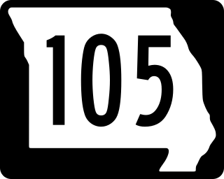
Route 105 is a highway in Mississippi County, Missouri. Its northern terminus is at Interstate 57/U.S. Route 60 in Charleston; its southern terminus is at Route 80 in East Prairie. Other than the two termini, no other towns are on the route.
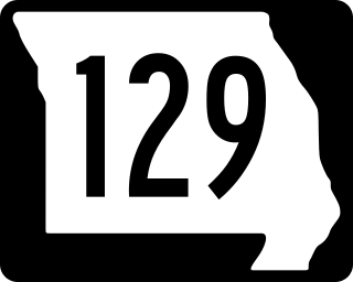
Route 129 is a highway in northern and central Missouri. Its northern terminus is at the Iowa state line where it continues as Appanoose County Road T20; its southern terminus is at Route 3 in Roanoke.

Route 41 is a highway in central Missouri. Its northern terminus is at U.S. Route 24 in southern Carroll County; its southern terminus is at Interstate 70/U.S. Route 40 west of Boonville, where the road continues south as Route 135.

Route 33 is a highway in western Missouri. Its northern terminus is at Route 6 in Maysville; its southern terminus is at U.S. Route 69 in Liberty.
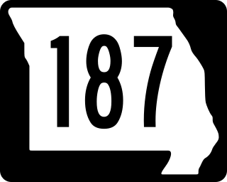
Route 187 is a short segment of highway running less than five miles (8 km) in Howard County, Missouri. Its eastern terminus is at Route 87 south of Glasgow; its western terminus is at Boone's Lick State Historic Site. No towns are on the route.

Route 82 is a highway in southwest Missouri. Its eastern terminus is at Route 83 in northwest Hickory County; its western terminus is at U.S. Route 54 in El Dorado Springs.

Route 92 is a highway in Platte and Clay counties in northwestern Missouri, United States. Its western terminus is a continuation of K-92 on the Centennial Bridge over the Missouri River at the Kansas state line, and the eastern terminus is at U.S. Route 69 in northern Excelsior Springs.

Route 173 is a highway in southwestern Missouri. Its northern terminus is at Route 265/Route 413 in Elsey; its southern terminus is at Route 76 in Cape Fair.

Route 131 is a highway located in Lafayette and Johnson counties in western Missouri. Its northern terminus is at Route 224 in downtown Wellington and its southern terminus is on Route 2 south of Medford.

Interstate 66 (I-66) is a canceled Interstate Highway designated in the Intermodal Surface Transportation Efficiency Act (ISTEA) of 1991 as the East–West TransAmerica Corridor and High Priority Corridor 3. The US Department of Transportation originally planned to extend the current I-66 from its western terminus at Middletown, Virginia, across the country to California. The route west of Kansas was not favored by any of the related state highway departments, and, as a result, I-66 west of Wichita, Kansas, through New Mexico, Arizona, Nevada and California was canceled. Among the reasons for this were lack of interest from any of the state highway departments, and the insufficient projected traffic did not justify an Interstate, especially since many segments had no preexisting highway. The National Park Service was strongly opposed to building I-66 across the Death Valley National Park. The choice for the number I-66 was a hope to capitalize on name association with the decommissioned US Route 66 (US 66). The case for westward expansion of I-66 was started by businesspeople in Wichita. Furthermore, there were no plans to build I-66 across the West Virginia–Virginia state line, leaving it as a non-contiguous highway. The I-66 concept was supported in Kentucky mainly because of the efforts of Representative Hal Rogers; however, the Kentucky Transportation Cabinet (KYTC) completed its feasibility study in 2005 and concluded that building I-66 was too costly and of little traffic benefit with high potential environmental impact and canceled the project in that state. The only remaining study of I-66 was conducted by the Federal Highway Administration (FHWA) and the Illinois Department of Transportation (IDOT) under the 66 Corridor Study, a Tier 1 environmental impact statement (EIS). This study was canceled August 6, 2015, by IDOT, and, subsequently, the FHWA announced the cancellation of the EIS in the Federal Register, ending the last I-66 project and therefore officially canceling the I-66 Trans America Highway.
Interstate 55 (I-55) in the US state of Missouri runs from the Arkansas state line to the Poplar Street Bridge over the Mississippi River in St. Louis.

Arkansas Highway 223 is a north–south state highway in north Arkansas. The route of 29.92 miles (48.15 km) runs from Highway 56 in Calico Rock north across US Route 62/US Route 412 (US 62/US 412) to Missouri Supplemental Route E (SSR-E) at the Missouri state line.


