
Interstate 55 (I-55) is a major Interstate Highway in the central United States. As with most primary Interstates that end in a five, it is a major cross-country, north–south route, connecting the Gulf of Mexico to the Great Lakes. The highway travels from LaPlace, Louisiana, at I-10 to Chicago, Illinois, at U.S. Route 41, at McCormick Place. The major cities that I-55 connects to are New Orleans, Louisiana; Jackson, Mississippi; Memphis, Tennessee; St. Louis, Missouri; and Chicago, Illinois.
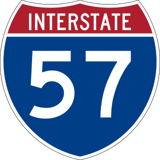
Interstate 57 (I-57) is a north–south Interstate Highway in Missouri and Illinois that parallels the old Illinois Central Railroad for much of its route. It runs from Sikeston, Missouri, at I-55 to Chicago, Illinois, at I-94. I-57 essentially serves as a shortcut route for travelers headed between the South and Chicago, bypassing St. Louis, Missouri and Springfield, Illinois. Between the junction of I-55 and I-57 in Sikeston and the junction of I-55 and I-90/I-94 in Chicago, I-55 travels for 436 miles (702 km), while the combination of I-57 and I-94 is only 396 miles (637 km) long between the same two points. In fact, both the control cities on the overhead signs and the destination mileage signs reference Memphis along southbound I-57, even as far north as its northern origin at I-94 in Chicago. Likewise, at its southern end, Chicago is the control city listed for I-57 on signs on northbound I-55 south of Sikeston, even though I-55 also goes to Chicago.
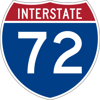
Interstate 72 (I-72) is an Interstate Highway in the midwestern United States. Its western terminus is in Hannibal, Missouri, at an intersection with U.S. Route 61 (US 61); its eastern terminus is at Country Fair Drive in Champaign, Illinois. The route runs through the major cities of Decatur, Illinois, and Springfield, Illinois. In 2006, the Illinois General Assembly dedicated all of I-72 as Purple Heart Memorial Highway. The stretch between Springfield and Decatur is also called Penny Severns Memorial Expressway, and the section between mile 35 and the Mississippi River is known as the Free Frank McWorter Historic Highway.

U.S. Route 412 is an east–west United States highway, first commissioned in 1982. U.S. 412 overlaps expressway-grade Cimarron Turnpike from Tulsa west to Interstate 35 and the Cherokee Turnpike from 5 miles (8.0 km) east of Chouteau, Oklahoma, to 8 miles (13 km) west of the Arkansas state line. It runs the entire length of the Oklahoma Panhandle and traverses the Missouri Bootheel. Despite its numbering it is not associated with U.S. Route 12.

U.S. Route 54 is an east–west United States Highway that runs northeast–southwest for 1,197 miles (1,926 km) from El Paso, Texas, to Griggsville, Illinois. The Union Pacific Railroad's Tucumcari Line runs parallel to US 54 from El Paso to Pratt, Kansas, which comprises about two-thirds of the route.

Interstate 255 (I-255) is a bypass route of I-55 in Greater St. Louis. Along with I-270, it forms a loop around the central portion of the bi-state metro area; a majority of I-255 is located on the Illinois half. It shares its southern terminus with I-270 at the junction with I-55; I-270 and I-255 go to the west and east, respectively. U.S. Route 50 (US 50) joins I-255 at Lemay Ferry Road. It crosses the Mississippi River on the Jefferson Barracks Bridge, enters Illinois, and then turns northeast. There is a junction with I-64, where US 50 breaks off and goes east, and then further north there is a junction with I-55 again, I-70, and US 40, all of which are all cosigned together. The next junction is another one with I-270, which is the northern terminus of I-255. After that, the limited-access freeway continues on as Illinois Route 255 (IL 255). I-255 is 30.82 miles (49.60 km) in length.

Route 86 is a highway in southwest Missouri. The eastern terminus is at U.S. Route 65 just north of Ridgedale. From there, the road crosses the Long Creek arm of Table Rock Lake and continues to Blue Eye west between the Arkansas state line on the south and Table Rock Lake on the north. This section is also in the Mark Twain National Forest, and is recommended as a scenic drive by the Missouri Department of Transportation. From Eagle Rock the road turns north to join with Route 76 at Bates Corner with which it is runs concurrent through Cassville to just east of Rocky Comfort. The road continues north and west towards Neosho, then goes further west before turning north towards Joplin where the road ends at the interchange of Interstate 44 and Route 43. Except for a short section in Neosho, the road is a two-lane highway for its entire length.
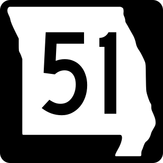
Route 51 is a highway in southeastern Missouri. Its northern terminus is the Illinois state line near Chester, Illinois; its southern terminus is at the Arkansas state line northwest of Piggott, Arkansas. It continues into Illinois as Illinois Route 150 and it continues into Arkansas as Highway 139.
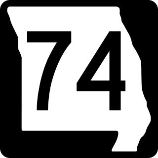
Route 74 is a highway in Cape Girardeau County, Missouri. The western terminus is at Route 25 in Dutchtown. Its eastern terminus is at the Illinois state line at the Mississippi River at Cape Girardeau. The road continues into Illinois as Illinois Route 146. No other towns are on the route.

Route 58 is a highway in western Missouri. Its eastern terminus is at U.S. Route 50 west of Warrensburg; its western terminus is at Route D west of Belton, Missouri. It is one of only a very few highways to end at a state supplemental route.

Route 72 is a highway in southern Missouri. Its eastern terminus is at Route 34 west of Jackson; its western terminus is at I-44 in Rolla.

Route 49 is a highway in eastern Missouri. Its northern terminus is at Route 19 in Cherryville; is southern terminus is at U.S. Route 67 five miles (8 km) east of Williamsville.

Route 47 is a highway in eastern Missouri. Its northern terminus is at Route 79 near Winfield; its southern terminus is at U.S. Route 67 in Bonne Terre.

Route 78 is a highway in the Kansas City, Missouri area. Its eastern terminus is at Route 7 east of Independence; its western terminus is at Interstate 435 in Kansas City. Independence and Kansas City are the only two cities on the route. The highway is known as 22nd Street or 23rd Street. and Lake City Buckner Road.

Interstate 155 (I-155) is an east–west auxiliary route of Interstate 55 (I-55) that runs through the Bootheel of Missouri and the northwestern corner of Tennessee. It begins south of Hayti, Missouri at I-55, passes eastward through Caruthersville, and crosses the Mississippi River on the Caruthersville Bridge into Tennessee. The route then proceeds to Dyersburg, Tennessee, where it terminates at U.S. Route 51 (US 51). I-155 is the only road that directly connects Missouri and Tennessee, and is concurrent with US 412 for its entire length.

Forgottonia, also spelled Forgotonia, is the name given to a 16-county region in Western Illinois in the late 1960s and early 1970s. This geographic region forms the distinctive western bulge of Illinois that is roughly equivalent to "The Tract", the Illinois portion of the Military Tract of 1812, along and west of the Fourth Principal Meridian. Since this wedge-shaped region lies between the Illinois and Mississippi rivers, it has historically been isolated from the eastern portion of Central Illinois.

Illinois Route 103 is a 9.18-mile-long (14.77 km) state route in west-central Illinois, United States. The route, entirely in Schuyler County, runs from U.S. Route 24 near Ripley east to the intersection of US 67 and IL 100 across the Illinois River from Beardstown. In addition to connecting Ripley and Beardstown, IL 103 serves the community of Sugar Grove. The highway is part of both the National Highway System and the Lincoln Heritage Trail. It is maintained by the Illinois Department of Transportation. The route was established in 1924 between Ripley and its current eastern terminus; its western terminus was moved north to its current location in 1932.

Numerous special routes of U.S. Route 67, all business routes, exist. One other route, formerly an alternate route in western Illinois, has since been downgraded to state Route 267.

Several special routes of U.S. Route 30 exist. In order from west to east they are as follows.

The Chicago–Kansas City Expressway is a highway that runs between Chicago, Illinois, and Kansas City, Missouri. The road is known as Route 110 in Missouri and Illinois Route 110 (IL 110) in Illinois. IL 110 was created through legislation on May 27, 2010, as the designated route for the Illinois portion of the Chicago–Kansas City Expressway.

