
Interstate 55 (I-55) is a major Interstate Highway in the central United States. As with most primary Interstates that end in a five, it is a major cross-country, north–south route, connecting the Gulf of Mexico to the Great Lakes. The highway travels from LaPlace, Louisiana, at I-10 to Chicago, Illinois, at U.S. Route 41, at McCormick Place. The major cities that I-55 connects to are New Orleans, Louisiana; Jackson, Mississippi; Memphis, Tennessee; St. Louis, Missouri; and Chicago, Illinois.
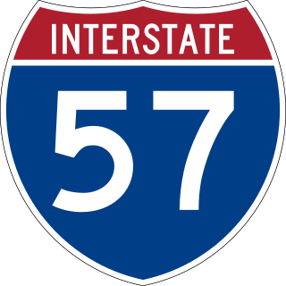
Interstate 57 (I-57) is a north–south Interstate Highway in Missouri and Illinois that parallels the old Illinois Central Railroad for much of its route. It runs from Sikeston, Missouri, at I-55 to Chicago, Illinois, at I-94. I-57 essentially serves as a shortcut route for travelers headed between the Southern U.S. and Chicago, bypassing St. Louis, Missouri, and Springfield, Illinois. Between the junction of I-55 and I-57 in Sikeston and the junction of I-55 and I-90/I-94 in Chicago, I-55 travels for 436 miles (702 km), while the combination of I-57 and I-94 is only 396 miles (637 km) long between the same two points. In fact, both the control cities on the overhead signs and the destination mileage signs reference Memphis along southbound I-57, even as far north as its northern origin at I-94 in Chicago. Likewise, at its southern end, Chicago is the control city listed for I-57 on signs on northbound I-55 south of Sikeston, even though I-55 also goes to Chicago. A southward extension of I-57 from its current southern terminus to Little Rock, Arkansas, is currently in various stages of development.

U.S. Route 412 is an east–west United States highway, first commissioned in 1982. U.S. 412 overlaps expressway-grade Cimarron Turnpike from Tulsa west to Interstate 35 and the Cherokee Turnpike from 5 miles (8.0 km) east of Chouteau, Oklahoma, to 8 miles (13 km) west of the Arkansas state line. It runs the entire length of the Oklahoma Panhandle and traverses the Missouri Bootheel.

Route 43 is a highway in western Missouri. Its northern terminus is at U.S. Route 54 midway between Nevada and Deerfield. Its southern terminus is at the corner of Missouri, Arkansas, and Oklahoma where it continues down the Arkansas/Oklahoma state line as both Arkansas Highway 43 and Oklahoma State Highway 20.

Route 86 is a highway in southwest Missouri. The eastern terminus is at U.S. Route 65 just north of Ridgedale. From there, the road crosses the Long Creek arm of Table Rock Lake and continues to Blue Eye west between the Arkansas state line on the south and Table Rock Lake on the north. This section is also in the Mark Twain National Forest, and is recommended as a scenic drive by the Missouri Department of Transportation. From Eagle Rock the road turns north to join with Route 76 at Bates Corner with which it is runs concurrent through Cassville to just east of Rocky Comfort. The road continues north and west towards Neosho, then goes further west before turning north towards Joplin where the road ends at the interchange of Interstate 44 and Route 43. Except for a short section in Neosho, the road is a two-lane highway for its entire length.

Route 39 is a two-lane highway in southwestern Missouri. Its northern terminus is at U.S. Route 54 between Collins and El Dorado Springs at the community of Cedar Springs; its southern terminus is at the Arkansas state line where it continues as Highway 221.

Route 37 is a highway in southwest Missouri. Its northern terminus is at U.S. Route 160 in Golden City ; its southern terminus is at the Arkansas state line where it continues as Highway 37, though it only runs very briefly before ending at U.S. Route 62 in Gateway, Arkansas.

Route 108 is a short highway in the Bootheel of southeastern Missouri. Its eastern terminus is the Arkansas state line at Arkansas Highway 77, about six miles (10 km) south of Arbyrd, the only town on the route. Its western terminus is at U.S. Route 412 (US 412) about two miles (3 km) north of Arbyrd. Although signed as an east–west route, the route follows mostly north–south roadways. The route was designated in 1930, and was extended east in 1972.
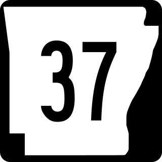
Arkansas Highway 37 is a designation for two state highways in Arkansas. The main segment of 52.40 miles (84.33 km) runs from McCrory to Cord. A short segment of 0.61 miles (0.98 km) runs north in Benton County from U.S. Route 62 to the Missouri state line.
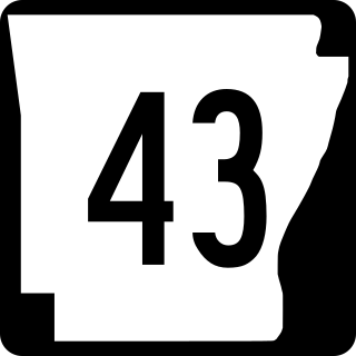
Highway 43 is a designation for three north–south state highways in Arkansas. One segment of 27.1 miles (43.6 km) runs from Highway 264 in Siloam Springs north into Delaware County, Oklahoma along Oklahoma State Highway 20 (SH-20) to terminate at Missouri Route 43 (Route 43) at the Missouri/Oklahoma/Arkansas tri-point near Southwest City, Missouri. A second segment of 20.0 miles (32.2 km) runs northeast from Highway 21 at Boxley to Highway 7 in Harrison. The third segment runs 1.8 miles (2.9 km) north in Harrison from US Route 65 (US 65) to Highway 7.

Route 34 is a highway in southeastern Missouri. Its eastern terminus is at the Illinois state line on the Mississippi River at Cape Girardeau where it overlaps Route 74. Its western terminus is at U.S. Route 60 near Van Buren. The road continues into Illinois as Illinois Route 146.
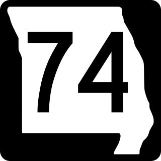
Route 74 is a highway in Cape Girardeau County, Missouri. The western terminus is at Route 25 in Dutchtown. Its eastern terminus is at the Illinois state line at the Mississippi River at Cape Girardeau. The road continues into Illinois as Illinois Route 146. No other towns are on the route.
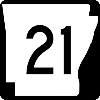
Highway 21 is a north–south state highway in north central Arkansas. The route of 99.14 miles (159.55 km) runs from US Route 64 (US 64) in Clarksville north across US 62 to Missouri Route 13 at the Missouri state line The route is a two-lane highway with the exception of a brief concurrency with US 62, a four-lane highway, in Berryville.
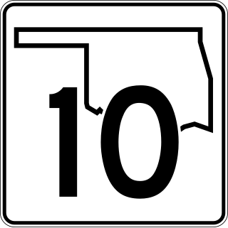
State Highway 10 is a state highway in northeastern Oklahoma. It makes a 233.1 miles (375.1 km) crescent through the northeast corner of the state, running from SH-99 in Osage County to Interstate 40 (I-40) near Gore. It has two lettered spur routes.
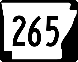
Highway 265 is a designation for three state highways in Northwest Arkansas. The southern segment of 19.70 miles (31.70 km) runs from Highway 170 near Strickler north to I-49/US 71/Highway 112 in south Fayetteville. A second segment begins in east Fayetteville at Highway 16 and runs north through Springdale to Highway 94 in Rogers. Further north, a third segment of 3.324 miles (5.349 km) runs from Highway 94 in Pea Ridge north to the Missouri state line. The highways are maintained by the Arkansas Department of Transportation (ARDOT).

Arkansas Highway 223 is a north–south state highway in north Arkansas. The route of 29.92 miles (48.15 km) runs from Highway 56 in Calico Rock north across US Route 62/US Route 412 (US 62/US 412) to Missouri Supplemental Route E (SSR-E) at the Missouri state line.
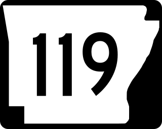
Arkansas Highway 119 is a series of state highways that run in Northeast Arkansas. All routes are maintained by the Arkansas Department of Transportation (ArDOT).

Highway 137 is a north–south state highway in Mississippi County, Arkansas. The route runs 8.82 miles (14.19 km) from Highway 312 north to the Missouri state line.

U.S. Route 67 is the portion of a north-south highway in Missouri that starts at the Arkansas state line south of Neelyville and ends at the Illinois state line northeast of West Alton.

U.S. Highway 71 is a U.S. highway that runs from Krotz Springs, LA to the Fort Frances–International Falls International Bridge at the Canadian border. In Arkansas, the highway runs from the Louisiana state line near Doddridge to the Missouri state line near Bella Vista. In Texarkana, the highway runs along State Line Avenue with US 59 and partially runs in Texas. Other areas served by the highway include Fort Smith and Northwest Arkansas.

