
Route 43 is a highway in western Missouri. Its northern terminus is at U.S. Route 54 midway between Nevada and Deerfield. Its southern terminus is at the corner of Missouri, Arkansas, and Oklahoma where it continues down the Arkansas/Oklahoma state line as both Arkansas Highway 43 and Oklahoma State Highway 20.

Route 39 is a two-lane highway in southwestern Missouri. Its northern terminus is at U.S. Route 54 between Collins and El Dorado Springs at the community of Cedar Springs; its southern terminus is at the Arkansas state line where it continues as Highway 221.

Route 95 is a highway in southern Missouri. Its northern terminus is at Route 32 at Lynchburg in Laclede County. Its southern terminus is at U.S. Route 160 at Lutie about 2.5 miles west of the Theodosia arm of Bull Shoals Lake in Ozark County.

Route 83 is a state highway in western Missouri. Its northern terminus is at U.S. Route 65/Route 7 at Warsaw; its southern terminus is at Route 13 in Bolivar. It is a two-lane highway its entire length.

Route 99 is a short highway in southern Missouri. Its northern terminus is at U.S. Route 60 just north of Birch Tree in Shannon County; its southern terminus is at U.S. Route 160 south of Thomasville in Oregon County 18.3 miles (29.5 km) to the SSE. It crosses the Eleven Point River at Thomasville. Just south of Thomasville Route 99 provides access to the west end of the Eleven Point Wild and Scenic River portion of the Mark Twain National Forest.
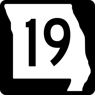
Route 19 is a long state highway in Missouri. Its northern terminus is at U.S. Route 61 in New London and its southern terminus is at U.S. Route 63 on the north side of Thayer. Route 19 is one of Missouri's original 1922 highways, though it initially had a northern terminus at Route 14 in Cuba and was later extended north.

Route 9 is a highway in the Kansas City, Missouri area. Its northern terminus is at Interstate 29/U.S. Route 71 in Kansas City North; its southern terminus is at Interstate 35/Interstate 70/U.S. Route 24/U.S. Route 40 in downtown Kansas City. Even though both termini are in Kansas City, it passes through other towns and cities. It is carried across the Missouri River by the Heart of America Bridge between downtown Kansas City, Missouri and North Kansas City, Missouri. In North Kansas City, the highway serves as a main thoroughfare, Burlington Street.

Route 20 is a highway in central Missouri. Its eastern terminus is at U.S. Route 65 Business in Marshall; its western terminus is at Route 13 in Higginsville.
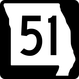
Route 51 is a highway in southeastern Missouri. Its northern terminus is the Illinois state line near Chester, Illinois; its southern terminus is at the Arkansas state line northwest of Piggott, Arkansas. It continues into Illinois as Illinois Route 150 and it continues into Arkansas as Highway 139.
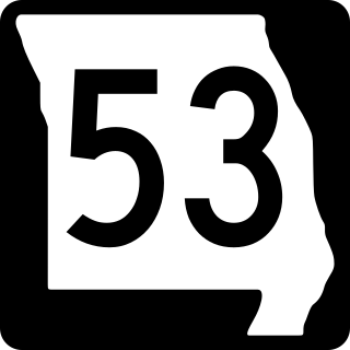
Route 53 is a highway in southeastern Missouri. Its southern terminus is at Route 25 in Holcomb. Its northern terminus is at Business U.S. Route 67 Business in Poplar Bluff.
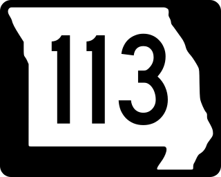
Route 113 is a highway in northwestern Missouri. Its northern terminus is at U.S. Route 136 in Burlington Junction; its southern terminus is at U.S. Route 59 east of Mound City.

Route 79 is a highway in eastern Missouri. Its northern terminus is at Interstate 72/U.S. Route 36 in downtown Hannibal; its southern terminus is at Interstate 70 in St. Peters. The route closely parallels the Mississippi River.

Route 49 is a highway in eastern Missouri. Its northern terminus is at Route 19 in Cherryville; is southern terminus is at U.S. Route 67 five miles (8 km) east of Williamsville.

Route 68 is a highway in central and southern Missouri. Its eastern terminus is at Route 19 in Salem; its western terminus is at U.S. Route 63 north of Rolla. Even though it is an even- numbered route, it tends to run more north–south than east–west.

Route 33 is a highway in western Missouri. Its northern terminus is at Route 6 in Maysville; its southern terminus is at U.S. Route 69 in Liberty.
Route 127 is a highway in central Missouri. Its northern terminus is at U.S. Route 65 west of Malta Bend; its southern terminus is at Route 52 southwest of Sedalia.
Route 31 is a highway in northwestern Missouri. Its northern terminus is at U.S. Route 169 in northwestern De Kalb County; its southern terminus is at US 169 southeast of St. Joseph.

Route 47 is a highway in eastern Missouri. Its northern terminus is at Route 79 near Winfield; its southern terminus is at U.S. Route 67 in Bonne Terre.

Route 123 is a highway in southwestern Missouri. Its northern terminus is at U.S. Route 54 in Weaubleau; its southern terminus is at U.S. Route 160 in Willard.
Route 119 is a highway in Dent County. Its northern terminus is at Route 32 southwest of Salem; its southern terminus is at Montauk State Park. There are no towns on the highway.

