Mitsinjo | |
|---|---|
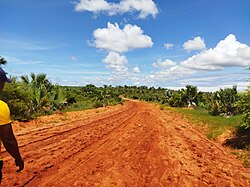 Road from Katsepy to Mitsinjo | |
 Mitsinjo Location in Madagascar | |
| Coordinates: 16°0′S45°52′E / 16.000°S 45.867°E | |
| Country | |
| Region | Boeny |
| District | Mitsinjo |
| Elevation | 23 m (75 ft) |
| Population (2001) [2] | |
• Total | 19,000 |
| Time zone | UTC3 (EAT) |
| Postal code | 417 |
Mitsinjo is a rural municipality in western Madagascar approximately 70 kilometres south-west of Mahajanga. It belongs to the district of Mitsinjo, which is a part of Boeny Region. The population of the commune was estimated to be approximately 19,000 in 2001. [2]
In addition to primary schooling the town offers secondary education at both junior and senior levels. The majority 70% of the population works in fishing. 15% are farmers, while an additional 10% receives their livelihood from raising livestock. The most important crops are maize and rice; also sweet potatoes is an important agricultural product. Services provide employment for 5% of the population. [2]
